Piazzola sul Brenta
Located in Province of Padua, Veneto Coordinates: 45°32′29″ N 11°47′04″ E
- Population
- 11,123
- 11.1K
- Elevation
- 26 m
- above sea level
- Local time
- UTC+01:00
- Europe/Rome · UTC+01:00
- Places inside
- 13
- listed under Piazzola sul Brenta
- Airports
- TSF Treviso Airport34 km
- VCE Venice Marco Polo Airport45 km
About Piazzola sul Brenta
Piazzola sul Brenta is a municipality. Location: Province of Padua, Veneto. Population: 11,123. Elevation: 26 m. The best months to visit are May–June, September. The nearest airport is Treviso Airport (34 km). Nearby sights include Botanical Garden Padua and Stadio Euganeo.
Climate of Piazzola sul Brenta
Best months for sightseeingBest months for sightseeing: May–June, September.
This month · November
A cold month
Day 12° · Night 4° · Rain 90 mm
- Hottest month
- July (day 29°)
- Coldest month
- January (night -1°)
- Wettest month
- June (96 mm)
- Driest month
- February (59 mm)
Bars: average monthly low and high temperature. Below: precipitation. Monthly averages for 1970–2000 at about 18 km resolution, adjusted for elevation. Highlighted months are mild and relatively dry. Source: WorldClim 2.1 (CC BY 4.0).
Show values as a table
| Month | Jan | Feb | Mar | Apr | May | Jun | Jul | Aug | Sep | Oct | Nov | Dec |
|---|---|---|---|---|---|---|---|---|---|---|---|---|
| Average high (°C) | 6° | 9° | 13° | 17° | 23° | 26° | 29° | 28° | 24° | 18° | 12° | 7° |
| Average low (°C) | -1° | 0° | 4° | 8° | 13° | 16° | 19° | 18° | 14° | 9° | 4° | 0° |
| Precipitation (mm) | 71 | 59 | 70 | 83 | 90 | 96 | 70 | 84 | 76 | 96 | 90 | 72 |
How to get to Piazzola sul Brenta
The nearest airport is Treviso Airport (TSF), 34 km to the east as the crow flies. The nearest large city is Innsbruck, 194 km to the north.
Airports
- Treviso Airport (TSF) Treviso (TV) 34 kmeast
- Venice Marco Polo Airport (VCE) Venezia (VE) 45 kmeast
- Verona Villafranca Valerio Catullo Airport (VRN) Caselle (VR) 72 kmwest
Nearby large cities
- Innsbruck Population: 132.5K 194 kmnorth
- Rijeka Population: 108K 209 kmeast
- Ljubljana Population: 272.2K 219 kmeast
- Klagenfurt Population: 100.3K 229 kmnortheast
- Salzburg Population: 157.2K 269 kmnorth
Straight-line distances; road distances are longer. Airport data: OurAirports.
Day trips from Piazzola sul Brenta
Within 100 km: 65 historic and cultural sites, 840 natural sites, 31 lakes, rivers and coasts.
0–25 km25 places
- Santa Corona Attraction 18 kmW
- Monti Berici Mountain 24 kmSW
- Monte della Madonna Mountain 23 kmSW
- Monte Trevisan Mountain 25 kmS
25–60 km184 places
- Burano Island 50 kmE
- Sacca Fisola Island 43 kmE
- San Clemente Island 45 kmE
- Spiaggia Sorriso Beach 48 kmE
60–100 km727 places
- Dosso Rotondo Mountain 68 kmNW
- Croda Nera Mountain 99 kmN
- Spiaggia di Caorle Beach 86 kmE
- Spiaggia di Levante Beach 87 kmE
Straight-line distances.
Places in Piazzola sul Brenta
13 places- 1 Piazzola sul Brenta 4.4K
- 2 Tremignon 1.2K
- 3 Vaccarino 804
- 4 Presina 676
- 5 Carturo 164
- 6 Boschiera 137
- 7 Isola Mantegna 122
- 8 Costa 96
- 9 Tremignon-Vaccarino 70
- 10 Cabrelle 47
- 11 Sacco 30
- 12 Pieretto Pitture 24
- 13 Nuova Z. A. di Piazzola sul Brenta 22
Bar: population relative to the most populous place in this list.
Nearby attractions & nature
Everything nearby-
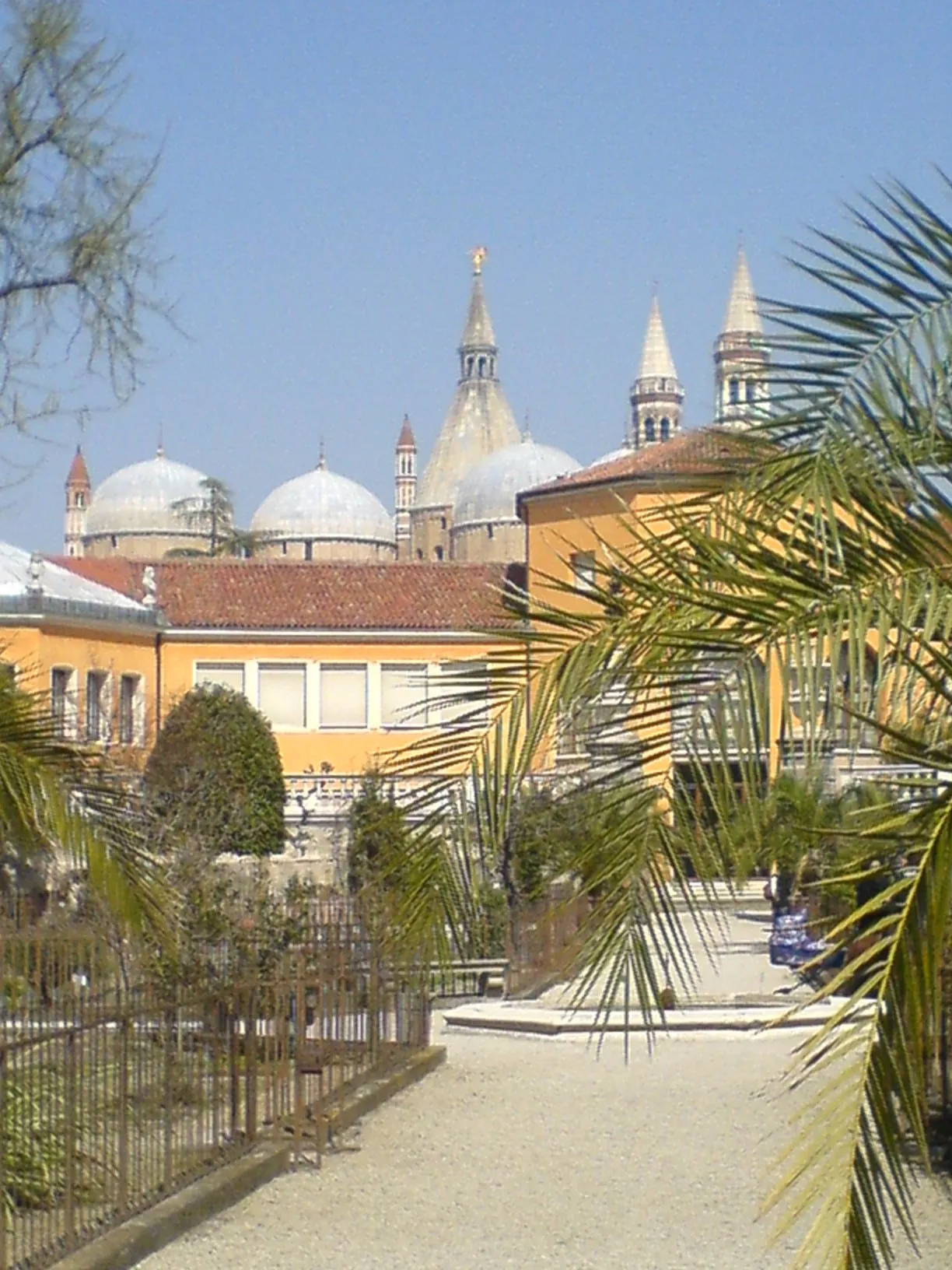 Botanical Garden Padua Attraction, Padova18 km SE
-
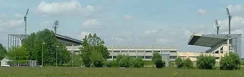 Stadio Euganeo Landmark, Padova13 km SE
-
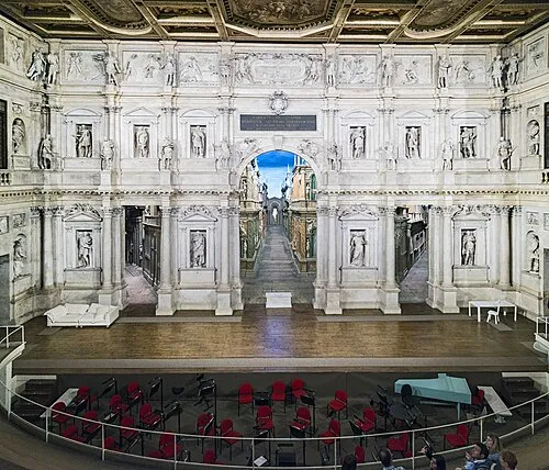 Teatro Olimpico Attraction, Vicenza18 km W
-
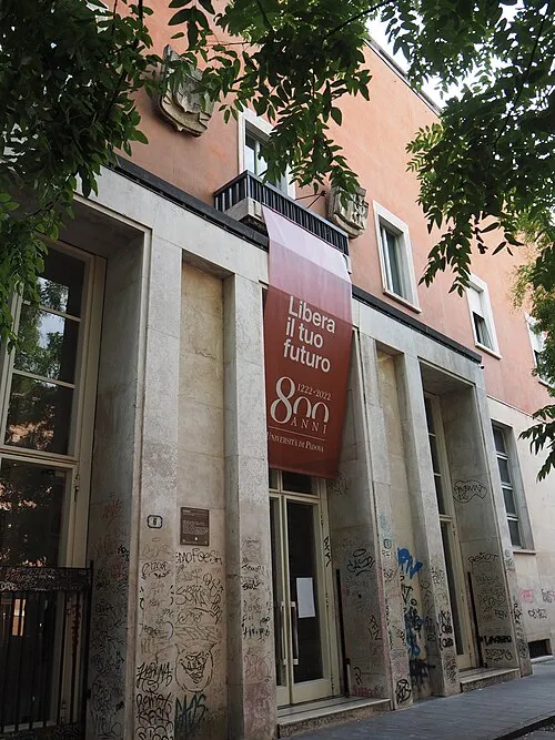 Palazzo Liviano Historic site, Padova16 km SE
-
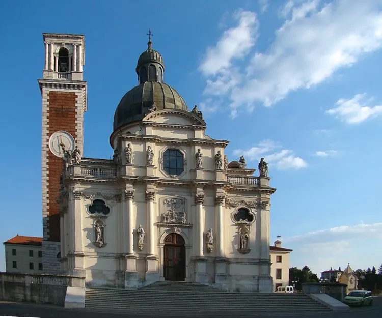 Monte Berico Attraction, Vicenza19 km W
-
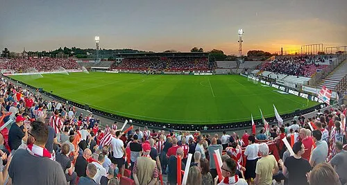 Stadio Romeo Menti Landmark, Vicenza18 km W
-
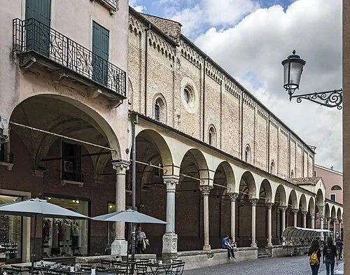 Chiesa di Santa Maria dei Servi Attraction, Padova17 km SE
-
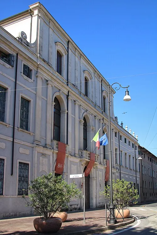 Palazzo Maldura Historic site, Padova16 km SE
Sources & licences
Data last updated: