- Elevation
- 3 m
- above sea level
- Local time
- UTC+01:00
- Europe/Rome · UTC+01:00
- Population
- 2,777
- 2.8K
- Airports
- VCE Venice Marco Polo Airport6 km
- TSF Treviso Airport25 km
About Burano
Burano is an island. Location: Venice, Province of Venice. Population: 2,777.
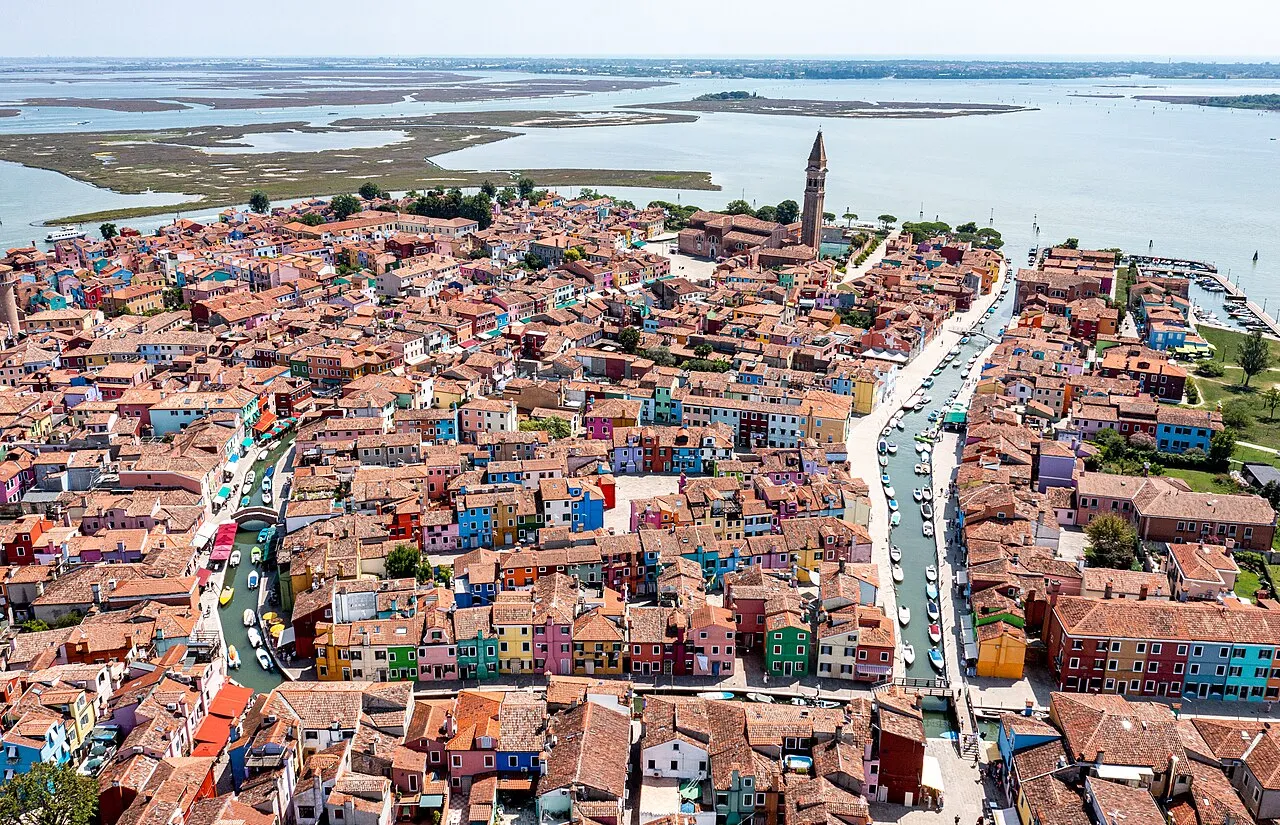
Burano is an island in the Venetian Lagoon, northern Italy, near Torcello at the northern end of the lagoon, known for its lace work and brightly coloured homes. The primary economy is tourism.
Source: Wikipedia · CC BY-SA 4.0
At a glance
- Length
- 0.7 km
- Area
- 21 ha
Source: Wikidata
Photos of Burano
-

Stavros Argyropoulos · CC BY-SA 2.0 -

Earth Science and Remote Sensing Unit , Lyndon B. Johnson Space Center · Public domain -
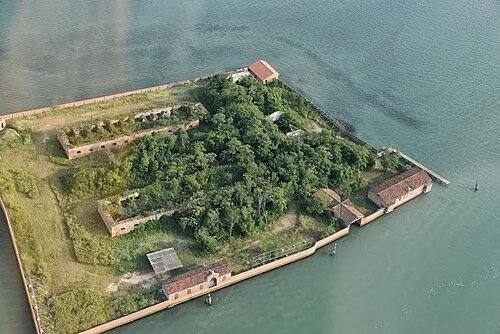
San Giacomo in Paludo Anton Nosik · CC BY 3.0 -
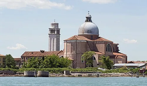
San Pietro di Castello Didier Descouens · CC BY-SA 4.0 -
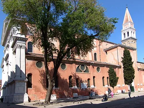
San Francesco della Vigna Didier Descouens · CC BY-SA 4.0


Travel notes for Burano
From Wikivoyage
Burano is a small island north of Venice in Italy.
Get in+
By vaporetto:
From Venice, get on LN line vaporetti from Fondamente Nove - north side of the town, near the hospital. From Jesolo - and from all the beaches on the Adriatic north coast - get on the LN Line Vaporetti from Tre Porti or from Punta Sabbioni. When you get off, turn left into the park, then right into the village.
1 Burano vaporetto stop. (updated Mar 2022)
Burano can be reached from Mazzorbo by the 2 Ponte Longo, a footbridge.
Source: Wikivoyage · CC BY-SA 4.0 · abridged
Climate of Burano
Best months for sightseeingBest months for sightseeing: May–June, September.
This month · November
A cold month
Day 12° · Night 5° · Rain 69 mm
- Hottest month
- July (day 28°)
- Coldest month
- January (night 0°)
- Wettest month
- October (82 mm)
- Driest month
- February (44 mm)
Bars: average monthly low and high temperature. Below: precipitation. Monthly averages for 1970–2000 at about 18 km resolution, adjusted for elevation. Highlighted months are mild and relatively dry. Source: WorldClim 2.1 (CC BY 4.0).
Show values as a table
| Month | Jan | Feb | Mar | Apr | May | Jun | Jul | Aug | Sep | Oct | Nov | Dec |
|---|---|---|---|---|---|---|---|---|---|---|---|---|
| Average high (°C) | 6° | 8° | 12° | 16° | 21° | 25° | 28° | 28° | 23° | 18° | 12° | 7° |
| Average low (°C) | 0° | 1° | 4° | 8° | 13° | 17° | 19° | 18° | 15° | 10° | 5° | 1° |
| Precipitation (mm) | 53 | 44 | 50 | 67 | 67 | 76 | 56 | 66 | 71 | 82 | 69 | 56 |
How to get to Burano
The nearest airport is Venice Marco Polo Airport (VCE), 6 km to the northwest as the crow flies. The nearest large city is Rijeka, 160 km to the east.
Airports
- Venice Marco Polo Airport (VCE) Venezia (VE) 6 kmnorthwest
- Treviso Airport (TSF) Treviso (TV) 25 kmnorthwest
- Trieste Airport (TRS) Ronchi dei Legionari/Trieste 90 kmnortheast
Nearby large cities
- Rijeka Population: 108K 160 kmeast
- Ljubljana Population: 272.2K 174 kmeast
- Klagenfurt Population: 100.3K 193 kmnortheast
- Innsbruck Population: 132.5K 213 kmnorth
- Salzburg Population: 157.2K 262 kmnorth
Straight-line distances; road distances are longer. Airport data: OurAirports.
Day trips from Burano
Within 100 km: 56 historic and cultural sites, 316 natural sites, 37 lakes, rivers and coasts.
0–25 km47 places
- Sacca Fisola Island 10 kmSW
- San Clemente Island 11 kmSW
- Spiaggia Sorriso Beach 11 kmSW
- Spiaggia Lungomare d'Annunzio Beach 8 kmS
25–60 km50 places
- Spiaggia di Caorle Beach 38 kmE
- Spiaggia di Levante Beach 39 kmE
- Spiaggia di Sottomarina Beach 31 kmS
- Spiaggia di Isola Bacucco Beach 35 kmS
60–100 km312 places
- Dragonja River 91 kmE
- Lido di Pomposa Beach 87 kmS
- Santa Corona Attraction 68 kmW
- Sveta Marija na Krasu Attraction 91 kmE
Straight-line distances.
Nearest towns and villages
-
Burano Village, Venice0.1 km S
-
 Mazzorbo Village, Venice0.6 km W
-
San Martino Destra Neighbourhood, Venice0.1 km E
-
San Martino Sinistrac Neighbourhood, Venice0.2 km S
-
Terranova Neighbourhood, Venice0.3 km E
-
Giudecca Neighbourhood, Venice0.3 km S
Nearby attractions & nature
Everything nearby-
La Cura Island, Venice2.9 km NE
-
San Giacomo in Paludo Island, Venice3.5 km SW
-
Litorale Sant Erasmo Beach, Venice3.4 km S
-
Litorale del Cavallino Beach, Cavallino-Treporti6 km SE
-
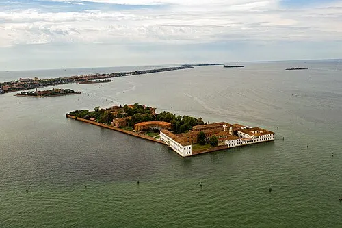 San Servolo Island, Venice8.9 km SW
-
Litorale del Cavallino Beach, Cavallino-Treporti7.3 km SE
-
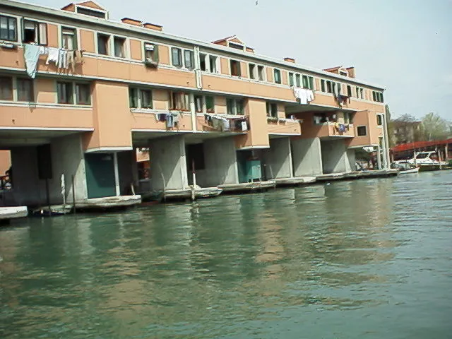 Sacca Fisola Island, Venice10 km SW
-
San Pietro di Castello Attraction, Venice7.3 km SW
More lakes, rivers and coasts in Italy
-
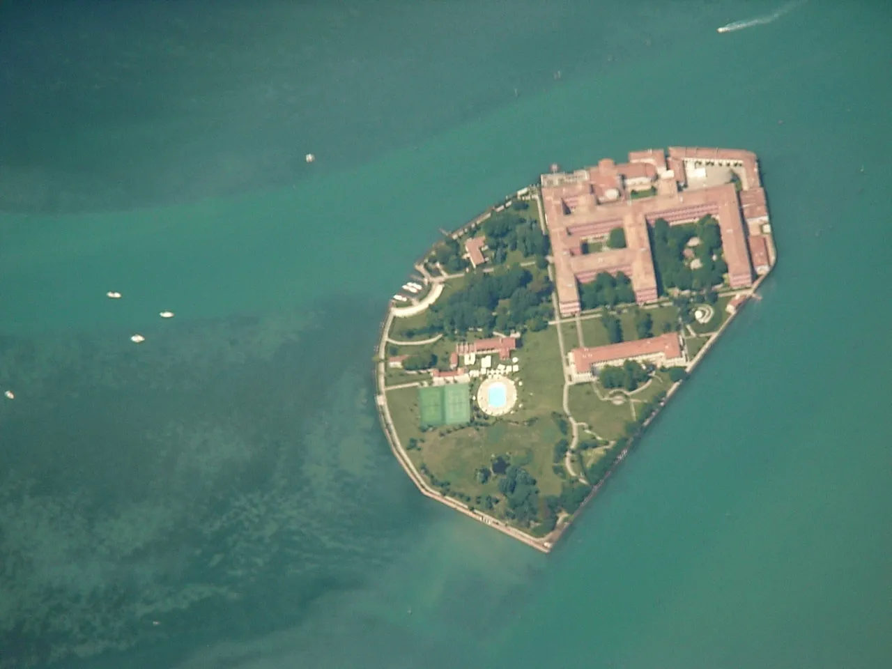 San Clemente Island, Venice11 km SW
-
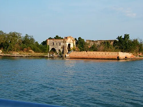 San Giorgio in Alga Island, Venice12 km SW
-
Spiaggia Sorriso Beach, Venice11 km SW
-
Litorale di Lido Island, Venice13 km SW
-
Litorale di Pellestrina Beach, Venice25 km S
Sources & licences
Data last updated: · 2 independent sources