- Local time
- UTC+01:00
- Europe/Rome · UTC+01:00
- Elevation
- 1 m
- above sea level
- Airports
- VCE Venice Marco Polo Airport7 km
- TSF Treviso Airport26 km
About Ca' d'Oro
Ca' d'Oro is a historic site. Location: Venice, Province of Venice.
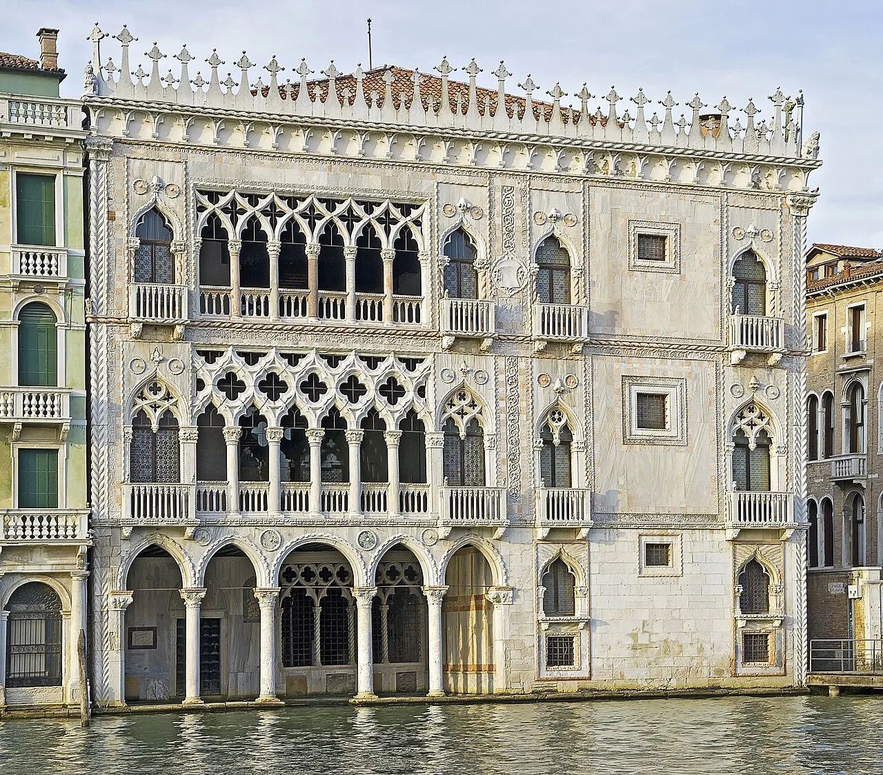
The Ca' d'Oro, or Palazzo Santa Sofia, is a palace on the Grand Canal in Venice, northern Italy. Ca' d'Oro or Cadoro translates to "House of Gold" or "Golden House" in English because of the gilt and polychrome external decorations that once adorned its walls. It was designed by Marino Contarini and later restored by Baron Giorgio Franchetti. In 1927, the building was converted into a museum and since then has been known as the Galleria Giorgio Franchetti alla Ca' d'Oro.
Source: Wikipedia · CC BY-SA 4.0
At a glance
- Built
- 1424
- Opened
- 1954
- Architect
- Bartolomeo Bon, Giovanni Bono, Matteo Raverti
- Architectural style
- Gothic architecture
- Official website
- cadoro.org
Source: Wikidata
Photos of Ca' d'Oro
-

Andraszy · CC BY-SA 4.0 -

Sailko · CC BY-SA 3.0 -

Mariordo · CC BY-SA 4.0 -

Mira de Simone · CC BY 3.0 -

SchiDD · CC BY 4.0


Climate of Ca' d'Oro
Best months for sightseeingBest months for sightseeing: May–June, September.
This month · November
A cold month
Day 12° · Night 5° · Rain 69 mm
- Hottest month
- July (day 28°)
- Coldest month
- January (night 0°)
- Wettest month
- October (82 mm)
- Driest month
- February (44 mm)
Bars: average monthly low and high temperature. Below: precipitation. Monthly averages for 1970–2000 at about 18 km resolution, adjusted for elevation. Highlighted months are mild and relatively dry. Source: WorldClim 2.1 (CC BY 4.0).
Show values as a table
| Month | Jan | Feb | Mar | Apr | May | Jun | Jul | Aug | Sep | Oct | Nov | Dec |
|---|---|---|---|---|---|---|---|---|---|---|---|---|
| Average high (°C) | 6° | 8° | 12° | 16° | 21° | 25° | 28° | 28° | 23° | 18° | 12° | 7° |
| Average low (°C) | 0° | 1° | 4° | 8° | 13° | 17° | 19° | 18° | 15° | 10° | 5° | 1° |
| Precipitation (mm) | 53 | 44 | 50 | 67 | 67 | 76 | 56 | 66 | 71 | 82 | 69 | 56 |
How to get to Ca' d'Oro
The nearest airport is Venice Marco Polo Airport (VCE), 7 km to the north as the crow flies. The nearest large city is Rijeka, 166 km to the east.
Airports
- Venice Marco Polo Airport (VCE) Venezia (VE) 7 kmnorth
- Treviso Airport (TSF) Treviso (TV) 26 kmnorthwest
- Trieste Airport (TRS) Ronchi dei Legionari/Trieste 98 kmnortheast
Nearby large cities
- Rijeka Population: 108K 166 kmeast
- Ljubljana Population: 272.2K 182 kmnortheast
- Klagenfurt Population: 100.3K 202 kmnortheast
- Innsbruck Population: 132.5K 215 kmnorth
- Salzburg Population: 157.2K 268 kmnorth
Straight-line distances; road distances are longer. Airport data: OurAirports.
Day trips from Ca' d'Oro
Within 100 km: 54 historic and cultural sites, 317 natural sites, 37 lakes, rivers and coasts.
0–25 km44 places
- Burano Island 8 kmNE
- Sacca Fisola Island 2 kmSW
- San Clemente Island 3 kmS
- Spiaggia Sorriso Beach 5 kmSE
25–60 km50 places
- Spiaggia di Caorle Beach 46 kmE
- Spiaggia di Levante Beach 47 kmNE
- Spiaggia di Sottomarina Beach 25 kmS
- Spiaggia di Isola Bacucco Beach 29 kmS
60–100 km314 places
- Dragonja River 98 kmE
- Lido di Pomposa Beach 81 kmS
- Santa Corona Attraction 63 kmW
- Sveta Marija na Krasu Attraction 98 kmE
Straight-line distances.
Nearby attractions & nature
Everything nearby-
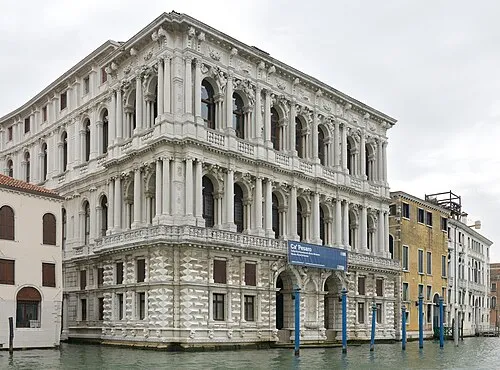 Ca' Pesaro Historic site, Venice0.2 km W
-
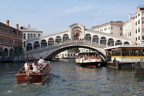 Rialto Bridge Landmark, Venice0.4 km SE
-
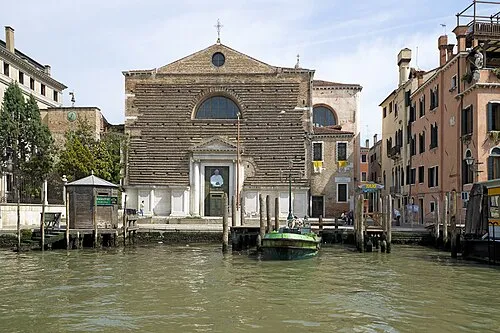 San Marcuola Attraction, Venice0.5 km NW
-
Museo Correr Museum, Venice0.8 km S
-
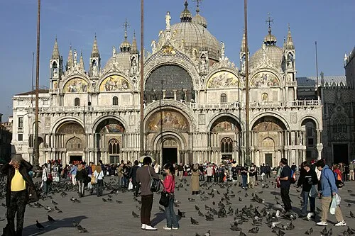 St Mark's Basilica Attraction, Venice0.8 km SE
-
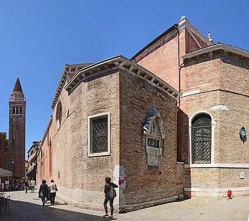 San Polo Attraction, Venice0.5 km SW
-
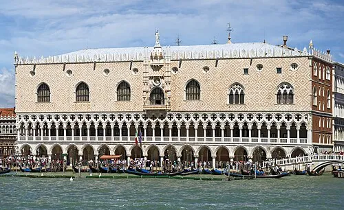 Doge's Palace Historic site, Venice0.9 km SE
-
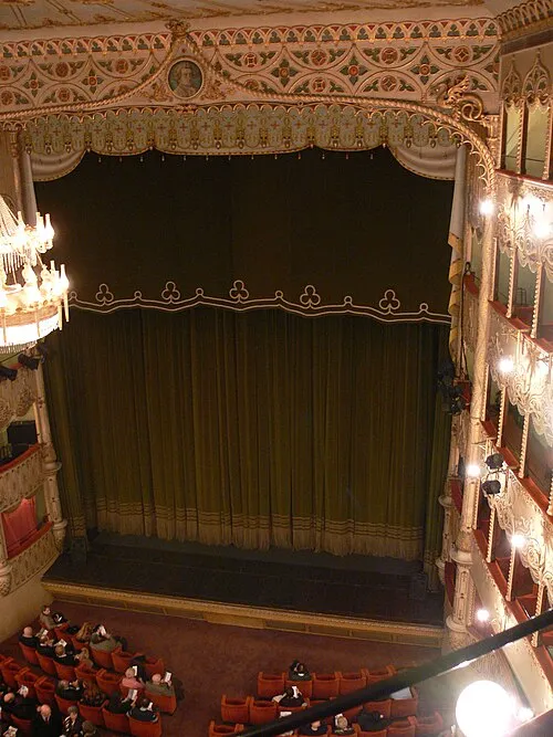 Teatro Goldoni Attraction, Venice0.5 km S
Nearest towns and villages
-
Giudecca Town, Venice1.8 km S
-
Murano Village, Venice2.7 km NE
-
Sestière di San Polo Neighbourhood, Venice0.4 km SW
-
Rialto Neighbourhood, Venice0.4 km S
More sights in Venice
-
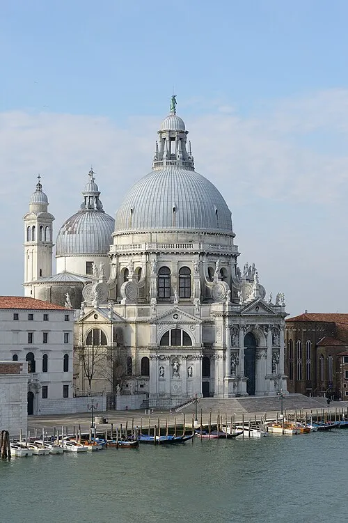 Santa Maria della Salute Attraction, Venice1.1 km S
-
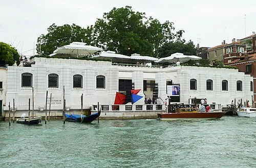 Peggy Guggenheim Collection Museum, Venice1.1 km S
-
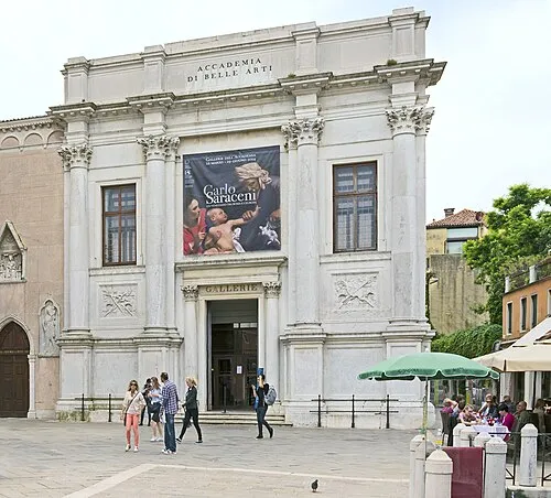 Gallerie dell'Accademia Museum, Venice1.2 km S
-
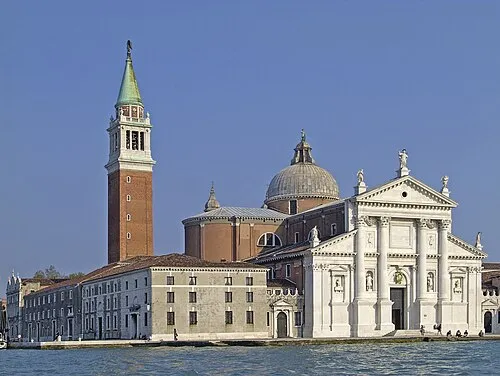 Church of San Giorgio Maggiore Attraction, Venice1.5 km SE
-
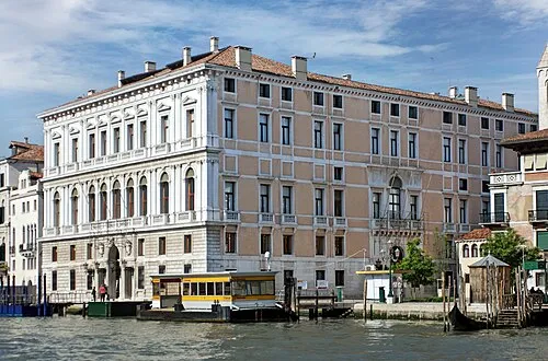 Palazzo Grassi Museum, Venice0.9 km SW
-
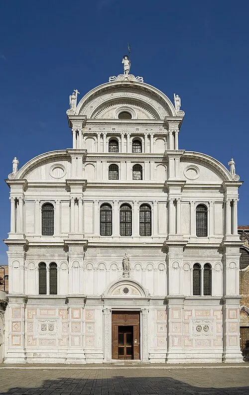 San Zaccaria Attraction, Venice1 km SE
Sources & licences
Data last updated: · 2 independent sources