
- Elevation
- 3 m
- above sea level
- Local time
- UTC+01:00
- Europe/Rome · UTC+01:00
- Airports
- VCE Venice Marco Polo Airport8 km
- TSF Treviso Airport26 km
About Dorsoduro
Dorsoduro is a neighbourhood. Location: Venice, Province of Venice.
Dorsoduro is one of the six historic sestieri (districts) of Venice, Italy, located in the southern part of the city and known for its relatively firm terrain that earned it the name meaning "hard back" or "hard ridge" in Italian, distinguishing it from the more marshy areas of the lagoon. It stretches from the Grand Canal in the north to the Giudecca Canal in the south, encompassing waterfront promenades like the Zattere, the Punta della Dogana viewpoint, and occasionally including the nearby Giudecca island.
Source: Wikipedia · CC BY-SA 4.0
Photos of Dorsoduro
-

This Photo was taken by Wolfgang Moroder . Feel free to use my photos, but please mention me as the author and send me a · CC BY-SA 3.0 -

Ekaterina Valinakova · CC0 -

GodeNehler · CC BY-SA 4.0 -

Rolf Kickuth · CC BY-SA 4.0 -

SIG SG 510 · CC0


Climate of Dorsoduro
Best months for sightseeingBest months for sightseeing: May–June, September.
This month · November
A cold month
Day 12° · Night 4° · Rain 69 mm
- Hottest month
- July (day 28°)
- Coldest month
- January (night 0°)
- Wettest month
- October (82 mm)
- Driest month
- February (45 mm)
Bars: average monthly low and high temperature. Below: precipitation. Monthly averages for 1970–2000 at about 18 km resolution, adjusted for elevation. Highlighted months are mild and relatively dry. Source: WorldClim 2.1 (CC BY 4.0).
Show values as a table
| Month | Jan | Feb | Mar | Apr | May | Jun | Jul | Aug | Sep | Oct | Nov | Dec |
|---|---|---|---|---|---|---|---|---|---|---|---|---|
| Average high (°C) | 6° | 9° | 13° | 17° | 22° | 26° | 28° | 28° | 24° | 18° | 12° | 7° |
| Average low (°C) | 0° | 1° | 4° | 8° | 13° | 17° | 19° | 18° | 15° | 10° | 4° | 1° |
| Precipitation (mm) | 55 | 45 | 51 | 66 | 69 | 79 | 58 | 68 | 70 | 82 | 69 | 57 |
How to get to Dorsoduro
The nearest airport is Venice Marco Polo Airport (VCE), 8 km to the north as the crow flies. The nearest large city is Rijeka, 166 km to the east.
Airports
- Venice Marco Polo Airport (VCE) Venezia (VE) 8 kmnorth
- Treviso Airport (TSF) Treviso (TV) 26 kmnorthwest
- Trieste Airport (TRS) Ronchi dei Legionari/Trieste 99 kmnortheast
Nearby large cities
- Rijeka Population: 108K 166 kmeast
- Ljubljana Population: 272.2K 183 kmnortheast
- Klagenfurt Population: 100.3K 203 kmnortheast
- Innsbruck Population: 132.5K 216 kmnorth
- Salzburg Population: 157.2K 269 kmnorth
Straight-line distances; road distances are longer. Airport data: OurAirports.
Day trips from Dorsoduro
Within 100 km: 56 historic and cultural sites, 310 natural sites, 37 lakes, rivers and coasts.
0–25 km46 places
- Burano Island 9 kmNE
- Sacca Fisola Island 1 kmSW
- San Clemente Island 2 kmS
- Spiaggia Sorriso Beach 5 kmSE
25–60 km49 places
- Spiaggia di Caorle Beach 47 kmNE
- Spiaggia di Levante Beach 48 kmNE
- Spiaggia di Isola Bacucco Beach 28 kmS
- Spiaggia di Rosolina Mare Beach 34 kmS
60–100 km308 places
- Dragonja River 99 kmE
- Lido di Pomposa Beach 80 kmS
- Santa Corona Attraction 62 kmW
- Sveta Marija na Krasu Attraction 99 kmE
Straight-line distances.
Nearby attractions & nature
Everything nearby-
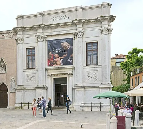 Gallerie dell'Accademia Museum, Venice0.2 km E
-
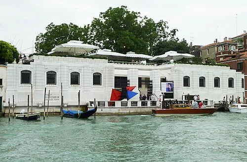 Peggy Guggenheim Collection Museum, Venice0.5 km E
-
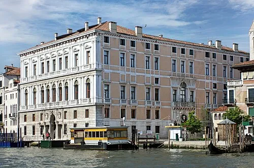 Palazzo Grassi Museum, Venice0.3 km NE
-
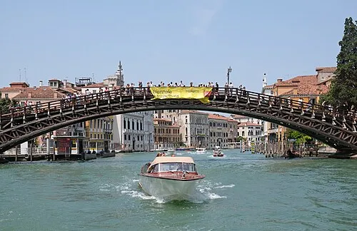 Ponte dell'Accademia Landmark, Venice0.3 km E
-
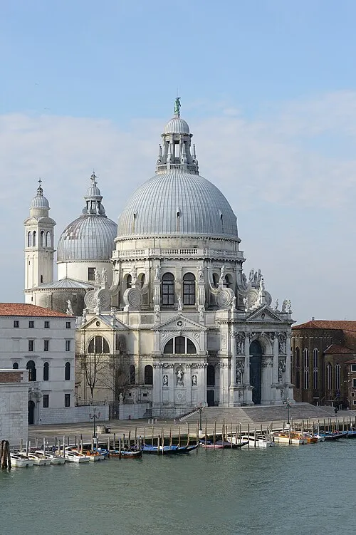 Santa Maria della Salute Attraction, Venice0.7 km E
-
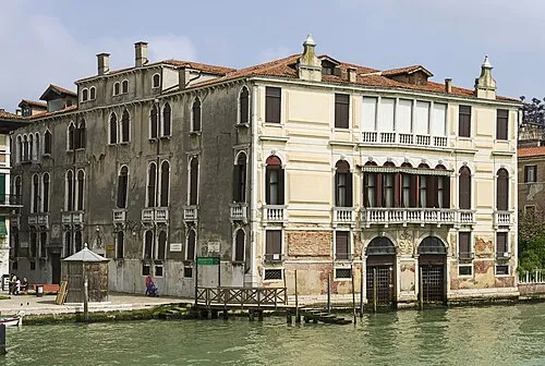 Palazzo Malipiero Historic site, Venice0.3 km NE
Other cities and towns in Venice
-
 San Lazzaro degli Armeni Village, Venice3.6 km SE
-
Bagaron Village, Venice6.6 km NW
-
 San Marco Neighbourhood, Venice1 km E
-
Tessera Village, Venice7.9 km N
-
Cimitero Campalto Village, Venice6.5 km N
-
 Santa Croce Neighbourhood, Venice1.1 km NW
Sources & licences
Data last updated: · 2 independent sources