Caprino Veronese
Located in Province of Verona, Veneto Coordinates: 45°36′18″ N 10°47′43″ E
- Population
- 8,467
- 8.5K
- Elevation
- 256 m
- above sea level
- Local time
- UTC+01:00
- Europe/Rome · UTC+01:00
- Places inside
- 34
- listed under Caprino Veronese
- Airports
- VRN Verona Villafranca Valerio Catullo Airport24 km
- VBS Brescia Gabriele d'Annunzio Airport41 km
About Caprino Veronese
Caprino Veronese is a municipality. Location: Province of Verona, Veneto. Population: 8,467. Elevation: 256 m. The best months to visit are May–June, September. The nearest airport is Verona Villafranca Valerio Catullo Airport (24 km). Nearby sights include Monte Castelle and Monte Castelcucco.
Climate of Caprino Veronese
Best months for sightseeingBest months for sightseeing: May–June, September.
This month · November
A cold month
Day 10° · Night 3° · Rain 59 mm
- Hottest month
- July (day 28°)
- Coldest month
- January (night -1°)
- Wettest month
- October (90 mm)
- Driest month
- February (36 mm)
Bars: average monthly low and high temperature. Below: precipitation. Monthly averages for 1970–2000 at about 18 km resolution, adjusted for elevation. Highlighted months are mild and relatively dry. Source: WorldClim 2.1 (CC BY 4.0).
Show values as a table
| Month | Jan | Feb | Mar | Apr | May | Jun | Jul | Aug | Sep | Oct | Nov | Dec |
|---|---|---|---|---|---|---|---|---|---|---|---|---|
| Average high (°C) | 6° | 8° | 12° | 16° | 21° | 25° | 28° | 27° | 23° | 17° | 10° | 6° |
| Average low (°C) | -1° | 0° | 3° | 6° | 11° | 15° | 17° | 17° | 13° | 8° | 3° | 0° |
| Precipitation (mm) | 48 | 36 | 48 | 61 | 75 | 81 | 68 | 79 | 75 | 90 | 59 | 49 |
How to get to Caprino Veronese
The nearest airport is Verona Villafranca Valerio Catullo Airport (VRN), 24 km to the south as the crow flies. The nearest large city is Innsbruck, 190 km to the north.
Airports
- Verona Villafranca Valerio Catullo Airport (VRN) Caselle (VR) 24 kmsouth
- Brescia Gabriele d'Annunzio Airport (VBS) Montichiari (BS) 41 kmsouthwest
- Il Caravaggio International Airport (BGY) Orio al Serio (BG) 85 kmwest
Nearby large cities
- Innsbruck Population: 132.5K 190 kmnorth
- Zurich Population: 415.4K 261 kmnorthwest
- Winterthur Population: 111.8K 264 kmnorthwest
- Rijeka Population: 108K 287 kmeast
- Munich Population: 1.5M 288 kmnorth
Straight-line distances; road distances are longer. Airport data: OurAirports.
Day trips from Caprino Veronese
Within 100 km: 48 historic and cultural sites, 997 natural sites, 6 lakes, rivers and coasts.
0–25 km53 places
- Dosso Rotondo Mountain 25 kmNE
- Monte Baldo Mountain 14 kmN
- Cima Valdritta Mountain 14 kmN
- Monte Denervo Mountain 16 kmNW
25–60 km356 places
- Spadalone Mountain 60 kmN
- Santa Corona Attraction 59 kmE
- Lora Mountain 35 kmNE
- Selvata Mountain 30 kmNE
60–100 km642 places
- Lago di Poschiavo Lake 93 kmNW
- Laghet d'Ur Lake 99 kmNW
- I Lagh dal Teo Lake 100 kmNW
- Lagh dal Mat Lake 90 kmNW
Straight-line distances.
Places in Caprino Veronese
34 places- 1 Caprino Veronese 3.6K
- 2 Pesine Bisse 740
- 3 Pesina Spezie 689
- 4 Ceredello 511
- 5 Lubiara 351
- 6 Pazzon 304
- 7 San Michele-Montecchio 183
- 8 Porcino 153
- 9 San Martino-Platano 149
- 10 Spiazzi 109
- 11 Gaon 105
- 12 Vilmezzano 101
- 13 Braga 74
- 14 Boia Fornase 64
- 15 Zovo 50
- 16 Scrimei 49
- 17 Vezzane 46
- 18 Spiazzi Bazzega 39
- 19 Braghizzola 37
- 20 Montesi 37
- 21 Renzon 32
- 22 Maso 29
- 23 Piozze 28
- 24 Trambasore 28
- 25 Casetta Cimi 27
- 26 Coliel 26
- 27 Piazzole 19
- 28 Ruina 18
- 29 Spiazzi Piani 18
- 30 Broieschi 17
- 31 Peagne 17
- 32 Ori-Vegerana 16
- 33 Bran 11
Bar: population relative to the most populous place in this list.
Mountains & nature1
- Punta di Naole · Mountain
Nearby attractions & nature
Everything nearby-
Monte Castelle Mountain, San Zeno di Montagna6.7 km N
-
Monte Castelcucco Mountain, Ferrara di Monte Baldo10 km NE
-
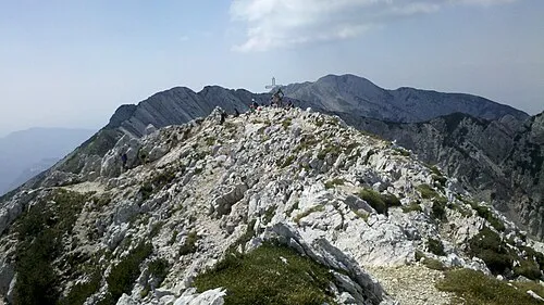 Cima Valdritta Mountain, Malcesine14 km N
-
Vetta delle Buse Mountain, Brenzone11 km N
-
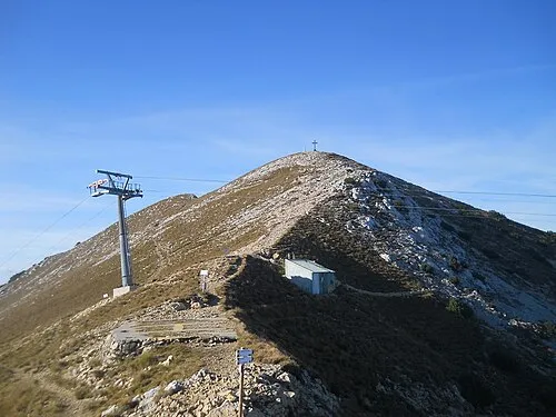 Punta Telegrafo Mountain, Brenzone12 km N
-
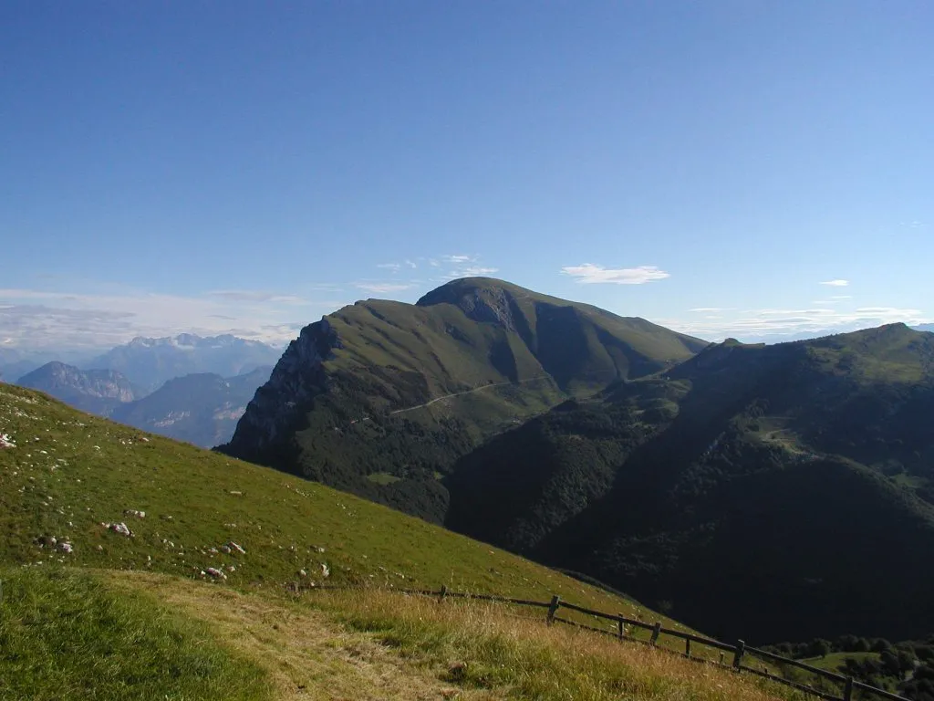 Monte Baldo Mountain, Malcesine14 km N
-
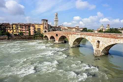 Ponte Pietra Landmark, Verona24 km SE
-
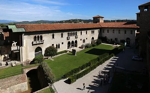 Castelvecchio Museum Museum, Verona24 km SE
Sources & licences
Data last updated: