Torre dei Lamberti
Located in Verona, Province of Verona Coordinates: 45°26′35″ N 10°59′52″ E
- Local time
- UTC+01:00
- Europe/Rome · UTC+01:00
- Elevation
- 67 m
- above sea level
- Airports
- VRN Verona Villafranca Valerio Catullo Airport10 km
- VBS Brescia Gabriele d'Annunzio Airport52 km
About Torre dei Lamberti
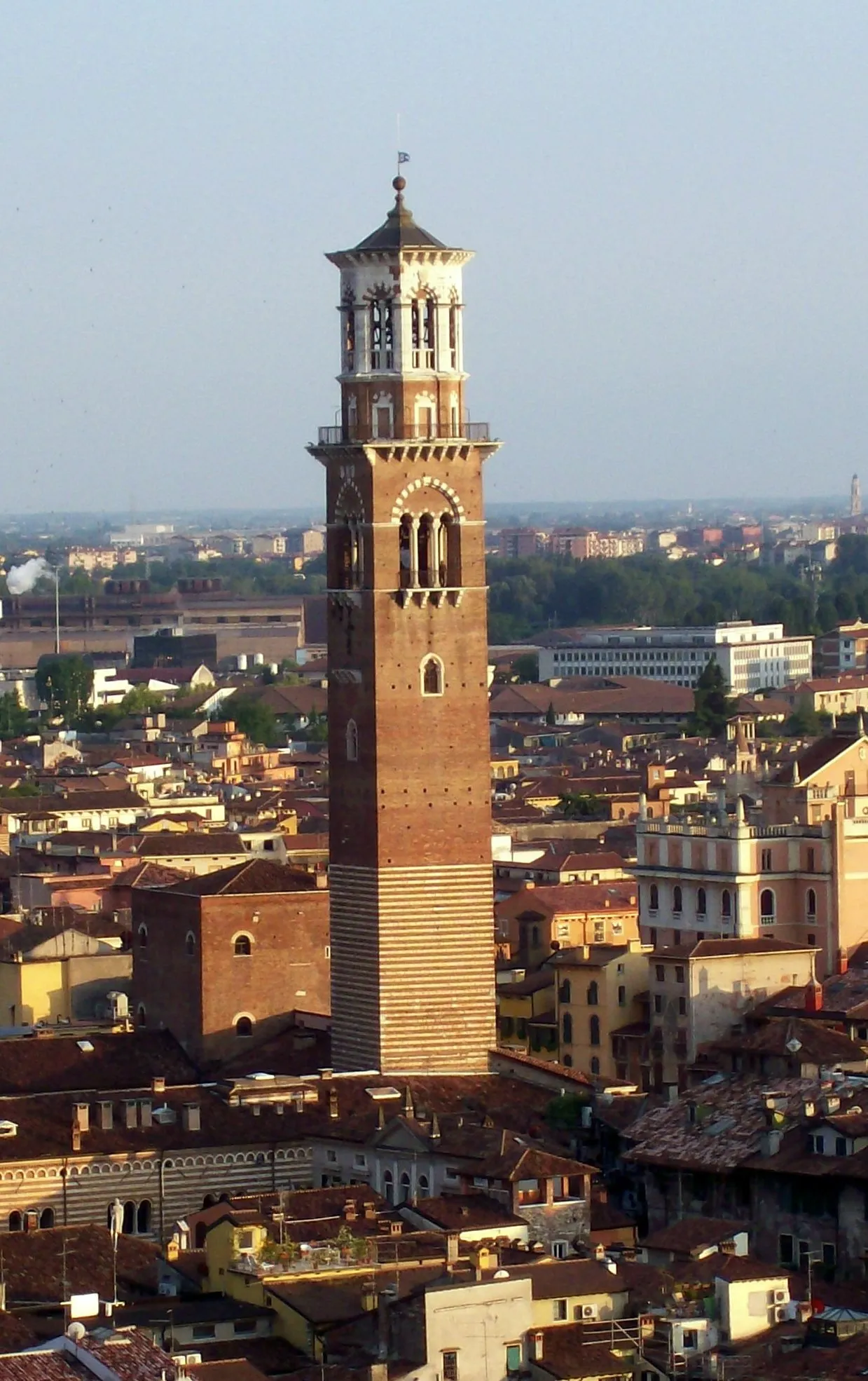
Torre dei Lamberti is a landmark. Location: Verona, Province of Verona.
The Torre dei Lamberti is an 84 m high tower in Verona, northern Italy. Construction of the tower began in 1172. In May 1403, the top of the tower was struck by lightning, but restoration works did not commence until 1448, lasting for 16 years. During this period, the tower was expanded, with the newer sections distinguishable today by their use of different materials, such as marble. The prominent clock was added in 1779.
Source: Wikipedia · CC BY-SA 4.0
At a glance
- Built
- 1172
- Height
- 84 m
- Area
- 0 ha
- Visitors per year
- 179,270 (2022)
- Official website
- torredeilamberti.it
Source: Wikidata
Photos of Torre dei Lamberti
-

Álvaro de la Paz Franco · CC0 -
Sant'Anastasia Didier Descouens · CC BY-SA 4.0 -
San Giorgio in Braida Didier Descouens · CC BY-SA 4.0 -
Palazzo Barbieri Giacomo Augusto · CC BY-SA 3.0 -
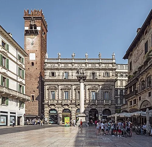
Palazzo Maffei Didier Descouens · CC BY-SA 4.0


Climate of Torre dei Lamberti
Best months for sightseeingBest months for sightseeing: May, September.
This month · November
A cold month
Day 11° · Night 3° · Rain 64 mm
- Hottest month
- July (day 30°)
- Coldest month
- January (night -1°)
- Wettest month
- October (90 mm)
- Driest month
- February (41 mm)
Bars: average monthly low and high temperature. Below: precipitation. Monthly averages for 1970–2000 at about 18 km resolution, adjusted for elevation. Highlighted months are mild and relatively dry. Source: WorldClim 2.1 (CC BY 4.0).
Show values as a table
| Month | Jan | Feb | Mar | Apr | May | Jun | Jul | Aug | Sep | Oct | Nov | Dec |
|---|---|---|---|---|---|---|---|---|---|---|---|---|
| Average high (°C) | 6° | 9° | 14° | 17° | 23° | 27° | 30° | 29° | 25° | 18° | 11° | 7° |
| Average low (°C) | -1° | 0° | 4° | 7° | 12° | 16° | 18° | 18° | 14° | 9° | 3° | -1° |
| Precipitation (mm) | 52 | 41 | 53 | 65 | 77 | 85 | 65 | 83 | 73 | 90 | 64 | 55 |
How to get to Torre dei Lamberti
The nearest airport is Verona Villafranca Valerio Catullo Airport (VRN), 10 km to the southwest as the crow flies. The nearest large city is Innsbruck, 205 km to the north.
Airports
- Verona Villafranca Valerio Catullo Airport (VRN) Caselle (VR) 10 kmsouthwest
- Brescia Gabriele d'Annunzio Airport (VBS) Montichiari (BS) 52 kmwest
- Parma Airport (PMF) Parma (PR) 88 kmsouthwest
Nearby large cities
- Innsbruck Population: 132.5K 205 kmnorth
- Rijeka Population: 108K 270 kmeast
- Ljubljana Population: 272.2K 281 kmeast
- Zurich Population: 415.4K 285 kmnorthwest
- Klagenfurt Population: 100.3K 288 kmnortheast
Straight-line distances; road distances are longer. Airport data: OurAirports.
Day trips from Torre dei Lamberti
Within 100 km: 50 historic and cultural sites, 749 natural sites, 1 lake, river or coast.
0–25 km20 places
- Corno Barila Mountain 23 kmNE
- Monte Tesoro Mountain 17 kmN
- Monte Purga Mountain 21 kmN
- Monte Faiardan Mountain 19 kmNE
25–60 km230 places
- Dosso Rotondo Mountain 38 kmN
- Santa Corona Attraction 45 kmE
- Lora Mountain 41 kmN
- Selvata Mountain 39 kmN
60–100 km550 places
- Spadalone Mountain 81 kmN
- Mislkopf Mountain 89 kmNE
- Monte Bronzone Mountain 84 kmW
- Correggio Beach Beach 78 kmS
Straight-line distances.
Nearby attractions & nature
Everything nearby-
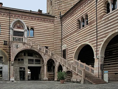 Palazzo della Ragione Historic site, Verona<0.1 km NE
-
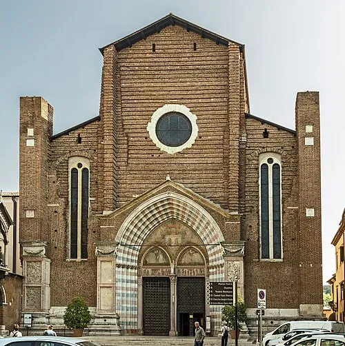
Sant'Anastasia Attraction, Verona0.3 km NE
-
Palazzo Maffei Historic site, Verona0.1 km NW
-
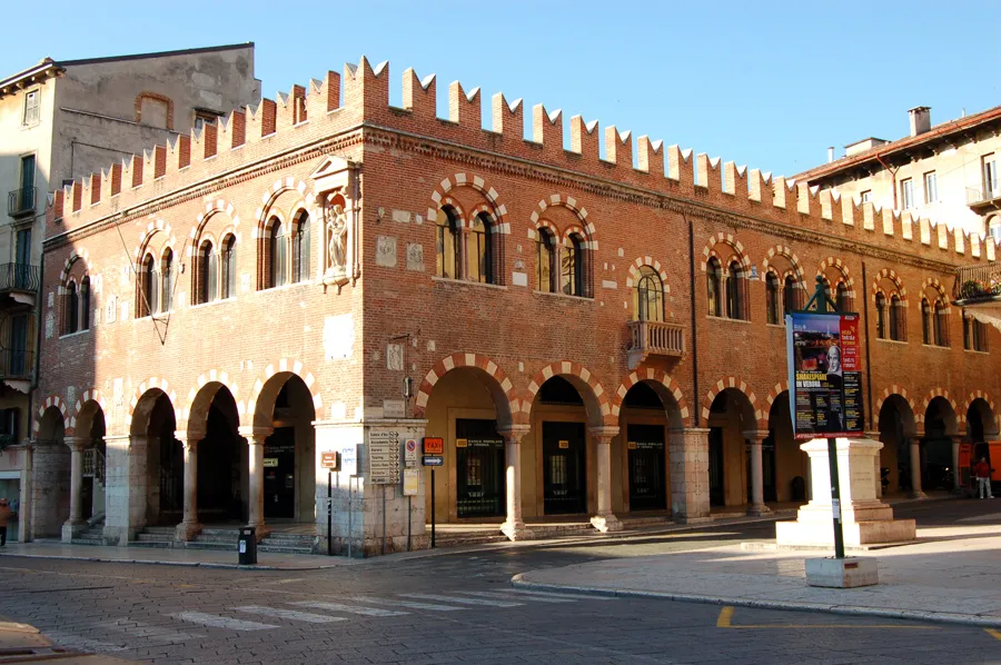 Casa dei Mercanti Historic site, Verona0.1 km SW
-
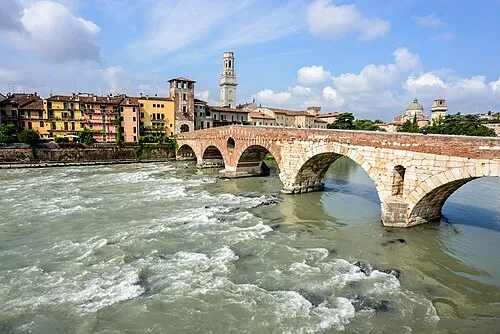 Ponte Pietra Landmark, Verona0.6 km N
-
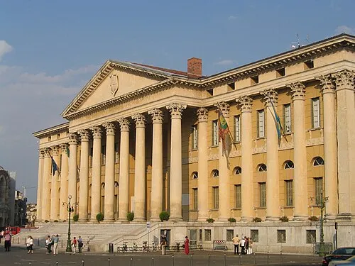
Palazzo Barbieri Historic site, Verona0.6 km SW
-
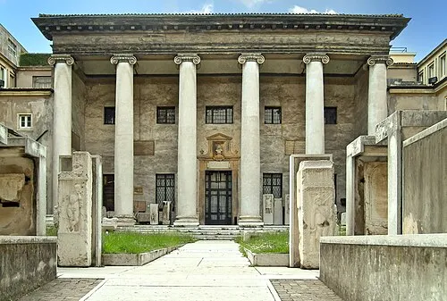 Museo Lapidario Maffeiano Museum, Verona0.8 km SW
-
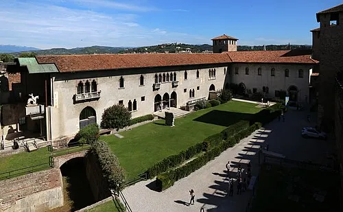 Castelvecchio Museum Museum, Verona0.9 km SW
Nearest towns and villages
-
San Pancrazio Village, Verona2.8 km SE
-
San Felice Village, Verona3.4 km NE
-
Sommavalle Village, Verona2.5 km N
-
Poiano Village, Verona3.4 km NE
More sights in Verona
-
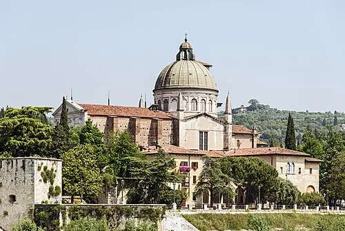
San Giorgio in Braida Attraction, Verona0.7 km N
-
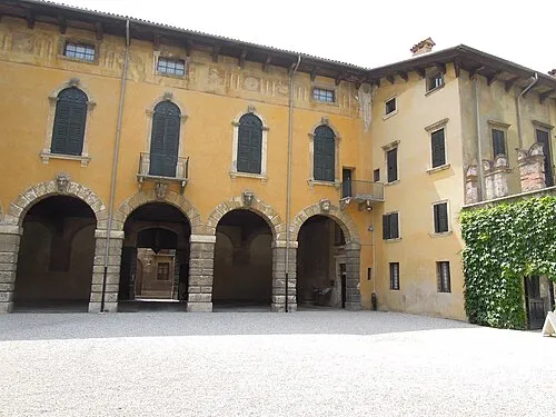 Palazzo Giusti Historic site, Verona0.7 km E
-
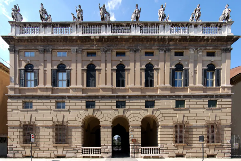 Palazzo Canossa Historic site, Verona0.7 km SW
Sources & licences
Data last updated: · 2 independent sources