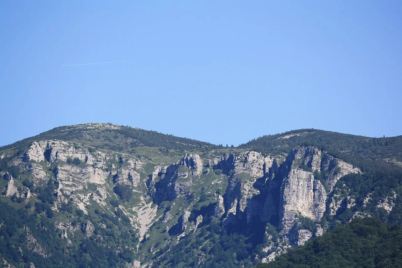
- Elevation
- 1,897 m
- above sea level
- Local time
- UTC+01:00
- Europe/Rome · UTC+01:00
- Airports
- VRN Verona Villafranca Valerio Catullo Airport60 km
- BZO Bolzano Airport67 km
About Monte Toraro
Monte Toraro is a mountain. Location: Arsiero, Province of Vicenza. Elevation: 1,897 m.
Monte Toraro is a mountain of Veneto, Italy. It is located on the Asiago Plateau, in the Vicentine Alps, and has an elevation of 1,897 metres (6,224 ft). During the First World War Toraro was the location of an Italian howitzer battery, and was captured by Austro-Hungarian troops during the battle of Asiago. During the Cold War, radars and command posts for a nearby Nike missile base (Base Tuono) were built on its top. They were blown up after the base ceased operations in the late 1970s.
Source: Wikipedia · CC BY-SA 4.0
Photos of Monte Toraro
-

K.u.k. Kriegspressequartier, Lichtbildstelle - Wien · Public domain -
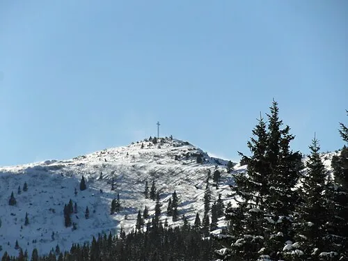
Monte Maggio Llorenzi · CC BY-SA 4.0 -

K.u.k. Kriegspressequartier, Lichtbildstelle - Wien · Public domain


Climate of Monte Toraro
Best months for sightseeingBest months for sightseeing: July–August.
This month · November
A cold month
Day 1° · Night -5° · Rain 40 mm
- Hottest month
- July (day 17°)
- Coldest month
- January (night -9°)
- Wettest month
- June (68 mm)
- Driest month
- February (21 mm)
Bars: average monthly low and high temperature. Below: precipitation. Monthly averages for 1970–2000 at about 18 km resolution, adjusted for elevation. Highlighted months are mild and relatively dry. Source: WorldClim 2.1 (CC BY 4.0).
Show values as a table
| Month | Jan | Feb | Mar | Apr | May | Jun | Jul | Aug | Sep | Oct | Nov | Dec |
|---|---|---|---|---|---|---|---|---|---|---|---|---|
| Average high (°C) | -3° | -1° | 2° | 5° | 10° | 14° | 17° | 17° | 12° | 7° | 1° | -2° |
| Average low (°C) | -9° | -9° | -6° | -3° | 2° | 5° | 8° | 8° | 4° | 0° | -5° | -8° |
| Precipitation (mm) | 23 | 21 | 28 | 41 | 59 | 68 | 64 | 68 | 61 | 63 | 40 | 25 |
How to get to Monte Toraro
The nearest airport is Verona Villafranca Valerio Catullo Airport (VRN), 60 km to the southwest as the crow flies. The nearest large city is Innsbruck, 156 km to the north.
Airports
- Verona Villafranca Valerio Catullo Airport (VRN) Caselle (VR) 60 kmsouthwest
- Bolzano Airport (BZO) Bolzano (BZ) 67 kmnorth
- Treviso Airport (TSF) Treviso (TV) 76 kmeast
Nearby large cities
- Innsbruck Population: 132.5K 156 kmnorth
- Klagenfurt Population: 100.3K 249 kmeast
- Ljubljana Population: 272.2K 252 kmeast
- Rijeka Population: 108K 255 kmeast
- Munich Population: 1.5M 254 kmnorth
Straight-line distances; road distances are longer. Airport data: OurAirports.
Day trips from Monte Toraro
Within 100 km: 71 historic and cultural sites, 1,395 natural sites, 12 lakes, rivers and coasts.
0–25 km145 places
- Dosso Rotondo Mountain 24 kmW
- Lora Mountain 12 kmSW
- Selvata Mountain 17 kmSW
- Monti Lessini Mountain 20 kmS
25–60 km533 places
- Spadalone Mountain 53 kmNW
- Mislkopf Mountain 38 kmNE
- Santa Corona Attraction 41 kmSE
- Monte Croce Mountain 35 kmN
60–100 km800 places
- Burano Island 99 kmSE
- Sacca Fisola Island 95 kmSE
- San Clemente Island 97 kmSE
- Lai da Costainas Lake 98 kmNW
Straight-line distances.
Nearest towns and villages
Nearby attractions & nature
Everything nearby-
Cima Valbona Mountain, Trentino-Alto Adige0.9 km N
-
Monte Campolon Mountain, Trentino-Alto Adige1.7 km NE
-
Monte Melignone Mountain, Trentino-Alto Adige3 km NE
-
Monte Maggio Mountain, Terragnolo3.9 km W
-
Monte Maronia Mountain, Terragnolo4.5 km W
-
Coston dei Laghi Mountain, Terragnolo4.6 km SW
-
Scoglio dell'Aquila Mountain, Trentino-Alto Adige5.7 km E
-
Monte Sarta Mountain, Terragnolo6.2 km W
Sources & licences
Data last updated: · 2 independent sources