
- Population
- 12
- 12
- Elevation
- 998 m
- above sea level
- Local time
- UTC+01:00
- Europe/Rome · UTC+01:00
- Airports
- VRN Verona Villafranca Valerio Catullo Airport65 km
- TSF Treviso Airport65 km
About Dosso
Dosso is a village. Location: Roana, Province of Vicenza. Population: 12. Elevation: 998 m. The best months to visit are June–August. The nearest airport is Verona Villafranca Valerio Catullo Airport (65 km). Nearby sights include Monte Cengio and Monte Verena.
Photos of Dosso
-
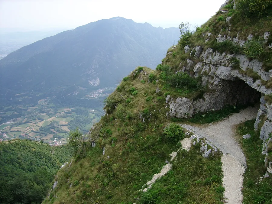
Monte Cengio Nordavind1709 · CC BY-SA 3.0

Climate of Dosso
Best months for sightseeingBest months for sightseeing: June–August.
This month · November
A cold month
Day 7° · Night 1° · Rain 45 mm
- Hottest month
- July (day 22°)
- Coldest month
- January (night -3°)
- Wettest month
- June (77 mm)
- Driest month
- February (24 mm)
Bars: average monthly low and high temperature. Below: precipitation. Monthly averages for 1970–2000 at about 18 km resolution, adjusted for elevation. Highlighted months are mild and relatively dry. Source: WorldClim 2.1 (CC BY 4.0).
Show values as a table
| Month | Jan | Feb | Mar | Apr | May | Jun | Jul | Aug | Sep | Oct | Nov | Dec |
|---|---|---|---|---|---|---|---|---|---|---|---|---|
| Average high (°C) | 3° | 4° | 7° | 10° | 16° | 20° | 22° | 22° | 18° | 13° | 7° | 4° |
| Average low (°C) | -3° | -3° | 0° | 3° | 8° | 11° | 14° | 13° | 10° | 6° | 1° | -2° |
| Precipitation (mm) | 25 | 24 | 31 | 45 | 67 | 77 | 73 | 77 | 68 | 67 | 45 | 27 |
How to get to Dosso
The nearest airport is Verona Villafranca Valerio Catullo Airport (VRN), 65 km to the southwest as the crow flies. The nearest large city is Innsbruck, 157 km to the north.
Airports
- Verona Villafranca Valerio Catullo Airport (VRN) Caselle (VR) 65 kmsouthwest
- Treviso Airport (TSF) Treviso (TV) 65 kmeast
- Bolzano Airport (BZO) Bolzano (BZ) 68 kmnorth
Nearby large cities
- Innsbruck Population: 132.5K 157 kmnorth
- Klagenfurt Population: 100.3K 239 kmeast
- Ljubljana Population: 272.2K 241 kmeast
- Rijeka Population: 108K 244 kmeast
- Salzburg Population: 157.2K 250 kmnortheast
Straight-line distances; road distances are longer. Airport data: OurAirports.
Day trips from Dosso
Within 100 km: 71 historic and cultural sites, 1,348 natural sites, 17 lakes, rivers and coasts.
0–25 km87 places
- Lora Mountain 20 kmW
- Monte Toraro Mountain 11 kmW
- Monti Lessini Mountain 24 kmSW
- Monte Cornetto Mountain 21 kmSW
25–60 km578 places
- Dosso Rotondo Mountain 34 kmW
- Mislkopf Mountain 36 kmN
- Santa Corona Attraction 35 kmS
- Monte Croce Mountain 36 kmN
60–100 km771 places
- Burano Island 88 kmSE
- Sacca Fisola Island 84 kmSE
- San Clemente Island 87 kmSE
- Spadalone Mountain 63 kmNW
Straight-line distances.
Nearby attractions & nature
Everything nearby-
Monte Cengio Mountain, Trentino-Alto Adige4.1 km S
-
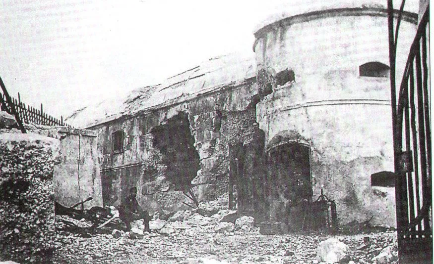 Monte Verena Mountain, Roana9.4 km N
-
Scoglio dell'Aquila Mountain, Trentino-Alto Adige6.8 km NW
-
Cima di Favaro Mountain, Trentino-Alto Adige6.3 km SE
-
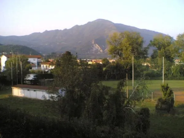 Monte Summano Mountain, Trentino-Alto Adige9.8 km S
-
Monte Melignone Mountain, Trentino-Alto Adige9 km W
Other cities and towns in Roana
-
 Roana Village, Roana4.7 km NE
-
 Cesuna Village, Roana3.6 km E
-
 Rebeschini Village, Roana3.8 km NE
-
Canove di Roana Village, Roana5.2 km E
-
 Istituto Elioterapico Village, Roana4.3 km NE
-
 Camporovere Village, Roana6.9 km NE
Sources & licences
Data last updated: · 2 independent sources