- Population
- 123
- 123
- Elevation
- 62 m
- above sea level
- Local time
- UTC+01:00
- Europe/Rome · UTC+01:00
- Airports
- TSF Treviso Airport44 km
- VCE Venice Marco Polo Airport59 km
About Santa Corona
Santa Corona is a village. Location: Schiavon, Province of Vicenza. Population: 123. Elevation: 62 m.
The Santa Corona complex in Vicenza comprises one of the city’s most important churches—constructed in the second half of the 13th century and enriched over the centuries with numerous works of art—and the cloisters of the former convent of the Dominicans. It forms part of the city’s museum network. The Church of Santa Corona houses Renaissance paintings and the Valmarana Chapel, designed by Andrea Palladio, while the former convent serves as the home of the Naturalistic Archaeological Museum.
Source: Wikipedia · CC BY-SA 4.0
At a glance
- Built
- 13th century
- Architectural style
- Renaissance architecture
- Heritage designation
- Italian national heritage
- Visitors per year
- 37,071 (2022)
- Official website
- museicivicivicenza.it
Source: Wikidata
Climate of Santa Corona
Best months for sightseeingBest months for sightseeing: May, September.
This month · November
Outside the best season
Day 13° · Night 5° · Rain 82 mm
- Hottest month
- July (day 30°)
- Coldest month
- January (night 0°)
- Wettest month
- June (100 mm)
- Driest month
- February (52 mm)
Bars: average monthly low and high temperature. Below: precipitation. Monthly averages for 1970–2000 at about 18 km resolution, adjusted for elevation. Highlighted months are mild and relatively dry. Source: WorldClim 2.1 (CC BY 4.0).
Show values as a table
| Month | Jan | Feb | Mar | Apr | May | Jun | Jul | Aug | Sep | Oct | Nov | Dec |
|---|---|---|---|---|---|---|---|---|---|---|---|---|
| Average high (°C) | 8° | 10° | 14° | 18° | 23° | 27° | 30° | 29° | 25° | 19° | 13° | 9° |
| Average low (°C) | 0° | 1° | 5° | 8° | 13° | 17° | 19° | 19° | 15° | 10° | 5° | 1° |
| Precipitation (mm) | 57 | 52 | 66 | 79 | 93 | 100 | 80 | 91 | 82 | 97 | 82 | 59 |
How to get to Santa Corona
The nearest airport is Treviso Airport (TSF), 44 km to the east as the crow flies. The nearest large city is Innsbruck, 177 km to the north.
Airports
- Treviso Airport (TSF) Treviso (TV) 44 kmeast
- Venice Marco Polo Airport (VCE) Venezia (VE) 59 kmeast
- Verona Villafranca Valerio Catullo Airport (VRN) Caselle (VR) 66 kmsouthwest
Nearby large cities
- Innsbruck Population: 132.5K 177 kmnorth
- Rijeka Population: 108K 223 kmeast
- Ljubljana Population: 272.2K 227 kmeast
- Klagenfurt Population: 100.3K 232 kmnortheast
- Salzburg Population: 157.2K 260 kmnortheast
Straight-line distances; road distances are longer. Airport data: OurAirports.
Day trips from Santa Corona
Within 100 km: 69 historic and cultural sites, 1,098 natural sites, 27 lakes, rivers and coasts.
0–25 km13 places
- Santa Corona Attraction 15 kmSW
- Monte Palla Mountain 23 kmNE
- Monte la Gusella Mountain 17 kmNE
- Cima di Favaro Mountain 20 kmNW
25–60 km341 places
- Sacca Fisola Island 60 kmSE
- Dosso Rotondo Mountain 52 kmW
- Mislkopf Mountain 54 kmN
- San Giorgio in Alga Island 58 kmSE
60–100 km840 places
- Burano Island 65 kmE
- San Clemente Island 62 kmSE
- Spadalone Mountain 88 kmNW
- Piz Gralba Mountain 95 kmN
Straight-line distances.
Nearby attractions & nature
Everything nearby-
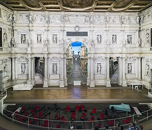 Teatro Olimpico Attraction, Vicenza15 km SW
-
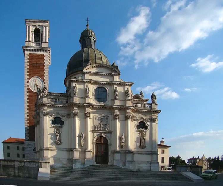 Monte Berico Attraction, Vicenza17 km SW
-
 Stadio Romeo Menti Landmark, Vicenza16 km SW
-
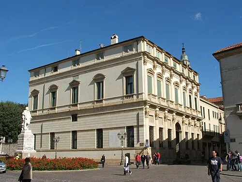 Palazzo Thiene Bonin Longare Historic site, Vicenza16 km SW
-
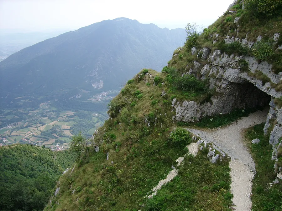 Monte Cengio Mountain, Trentino-Alto Adige24 km NW
-
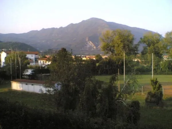 Monte Summano Mountain, Trentino-Alto Adige21 km NW
Sources & licences
Data last updated: · 2 independent sources