Oga Peninsula
Local name: 男鹿半島
Located in Akita, Japan Coordinates: 39°55′00″ N 139°50′00″ E
- Elevation
- 71 m
- above sea level
- Local time
- UTC+09:00
- Asia/Tokyo · UTC+09:00
- Airports
- AXT Akita Airport47 km
- ONJ Odate Noshiro Airport55 km
About Oga Peninsula
Oga Peninsula is a natural site. Location: Akita, Japan.
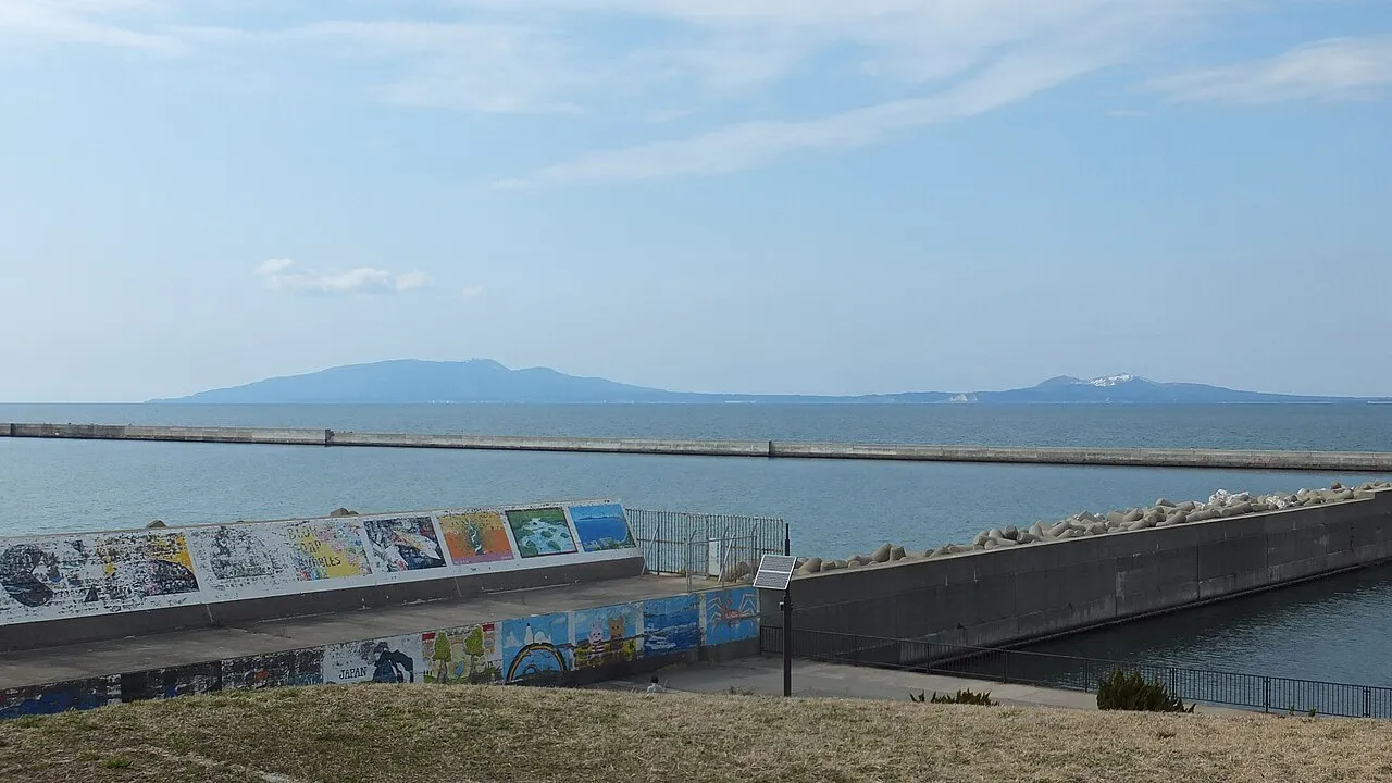
The Oga Peninsula (男鹿半島 Oga-hantō) is a rugged peninsula which projects west into the Sea of Japan from the coast of Akita in northern Honshū, the main island of Japan. Politically it coincides with the city of Oga. At the base of the peninsula is Hachirōgata, formerly the second largest lake in Japan. Oga Peninsula is famous for the traditional festival of Namahage. Until the 1970s, dugout canoes made from natural cedar were used for fishing on the Oga Peninsula.
Source: Wikipedia · CC BY-SA 4.0
Climate of Oga Peninsula
Best months for sightseeingBest months for sightseeing: June–July, September.
This month · November
A wet month
Day 11° · Night 5° · Rain 157 mm
- Hottest month
- August (day 27°)
- Coldest month
- January (night -2°)
- Wettest month
- September (179 mm)
- Driest month
- March (94 mm)
Bars: average monthly low and high temperature. Below: precipitation. Monthly averages for 1970–2000 at about 18 km resolution, adjusted for elevation. Highlighted months are mild and relatively dry. Source: WorldClim 2.1 (CC BY 4.0).
Show values as a table
| Month | Jan | Feb | Mar | Apr | May | Jun | Jul | Aug | Sep | Oct | Nov | Dec |
|---|---|---|---|---|---|---|---|---|---|---|---|---|
| Average high (°C) | 3° | 3° | 6° | 13° | 17° | 21° | 25° | 27° | 23° | 17° | 11° | 6° |
| Average low (°C) | -2° | -2° | 0° | 5° | 10° | 14° | 19° | 21° | 16° | 10° | 5° | 1° |
| Precipitation (mm) | 129 | 101 | 94 | 104 | 102 | 117 | 169 | 159 | 179 | 146 | 157 | 161 |
How to get to Oga Peninsula
The nearest airport is Akita Airport (AXT), 47 km to the southeast as the crow flies. For international flights: Aomori Airport (AOJ) (116 km). The nearest large city is Akita, 33 km to the southeast.
Airports
- Akita Airport (AXT) Akita 47 kmsoutheast
- Odate Noshiro Airport (ONJ) Kitaakita 55 kmnortheast
- Aomori Airport (AOJ) Aomori 116 kmnortheast
Nearby large cities
- Akita Population: 307.7K 33 kmsoutheast
- Hirosaki Population: 168.7K 93 kmnortheast
- Sakata Population: 100.3K 111 kmsouth
- Morioka Population: 290.7K 115 kmeast
- Aomori Population: 298.4K 126 kmnortheast
Straight-line distances; road distances are longer. Airport data: OurAirports.
Nearest towns and villages
-
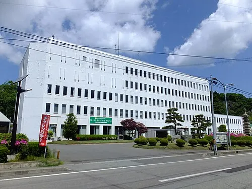 Oga City, Oga Shi5.3 km S
-
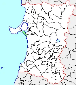 Tennō Town, Katagami Shi12 km E
-
 Katagami City, Katagami Shi15 km E
-
Ōgata Mura Municipality, Minamiakita-gun17 km NE
-
Hachirōgata Machi Municipality, Minamiakita-gun22 km E
-
 Gojōnome Town, Gojōnome Machi24 km E
Nearby attractions & nature
Everything nearby-
Oga Quasi National Park Natural site, Oga Shi7.1 km W
-
 Hachirō Lagoon Lake, Akita14 km E
Sources & licences
Data last updated: · 2 independent sources