- Elevation
- 3 m
- above sea level
- Local time
- UTC+09:00
- Asia/Tokyo · UTC+09:00
- Airports
- ONJ Odate Noshiro Airport31 km
- AXT Akita Airport70 km
About Yoneshiro River
Yoneshiro River is a river. Location: Akita, Japan.
The Yoneshiro River (米代川, Yoneshirogawa) is a Class A river in the Tōhoku region of northern Honshū in Japan. It is 136 kilometres (85 mi) long and has a watershed of 4,100 square kilometres (1,600 sq mi). The section near the mouth of the river, flowing through Noshiro city, it is also known as the Noshiro River.
Read more on Wikipedia Text: Wikipedia contributors · CC BY-SA 4.0 · shortened
At a glance
- Length
- 136 km
Source: Wikidata
Climate of Yoneshiro River
Best months for sightseeingBest months for sightseeing: June, September.
Bars: average monthly low and high temperature. Below: precipitation. Monthly averages for 1970–2000 at about 18 km resolution, adjusted for elevation. Highlighted months are mild and relatively dry. Source: WorldClim 2.1 (CC BY 4.0).
Show values as a table
| Month | Jan | Feb | Mar | Apr | May | Jun | Jul | Aug | Sep | Oct | Nov | Dec |
|---|---|---|---|---|---|---|---|---|---|---|---|---|
| Average high (°C) | 2° | 3° | 7° | 14° | 18° | 22° | 26° | 28° | 24° | 18° | 11° | 5° |
| Average low (°C) | -3° | -3° | 0° | 5° | 10° | 15° | 19° | 21° | 16° | 10° | 4° | 0° |
| Precipitation (mm) | 111 | 89 | 86 | 99 | 97 | 107 | 154 | 150 | 170 | 134 | 133 | 137 |
Airports nearest to Yoneshiro River
- Odate Noshiro Airport (ONJ) Kitaakita 31 km
- Akita Airport (AXT) Akita 70 km
- Aomori Airport (AOJ) Aomori 81 km
Straight-line distance; airports with scheduled flights only. Source: OurAirports (public domain).
Nearest towns and villages
-
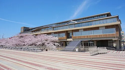 Noshiro City, Noshiro Shi2.7 km SE
-
Happō Chō Municipality, Yamamoto-gun16 km N
-
Moritake Town, Mitane Chō16 km SE
-
Mitane Chō Municipality, Yamamoto-gun19 km SE
-
Futatsuimachi Village, Noshiro Shi19 km E
-
Hachimori Village, Happō Chō12 km N
More lakes, rivers and coasts in Japan
-
 Hachirō Lagoon Lake, Akita34 km S
-
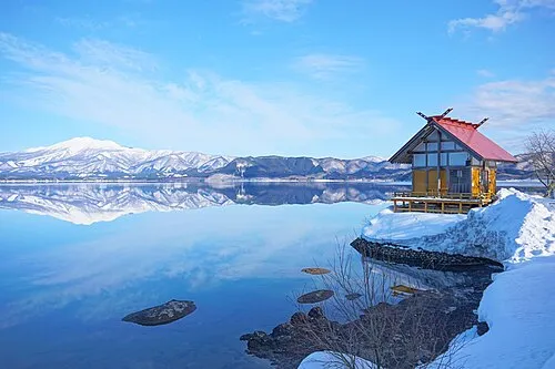 Lake Tazawa Lake, Akita80 km SE
-
Koyoshi River River, Akita93 km S
Sources & licences
Data last updated: · 2 independent sources