- Elevation
- 243 m
- above sea level
- Local time
- UTC+09:00
- Asia/Tokyo · UTC+09:00
- Airports
- AXT Akita Airport40 km
- HNA Iwate Hanamaki Airport51 km
About Lake Tazawa
Lake Tazawa is a lake. Location: Akita, Japan. Elevation: 243 m.
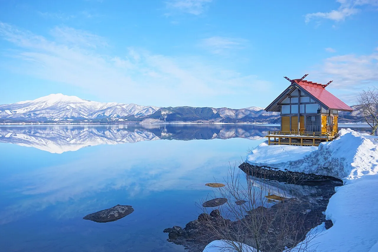
Lake Tazawa (田沢湖, Tazawa-ko) is a caldera lake in the city of Semboku, Akita Prefecture, northern Japan. It is the deepest lake in Japan at 423 metres (1,388 ft). The area is a popular vacation area and several hot spring resorts can be found in the hills above the lake. Akita Prefecture's largest ski area, Tazawako Ski Area [ja], overlooks the lake.
Source: Wikipedia · CC BY-SA 4.0
At a glance
- Maximum depth
- 423 m
- Area
- 25.8 km²
Source: Wikidata
Climate of Lake Tazawa
Best months for sightseeingBest months for sightseeing: May–July, September.
This month · November
A wet month
Day 11° · Night 2° · Rain 126 mm
- Hottest month
- August (day 28°)
- Coldest month
- January (night -6°)
- Wettest month
- July (188 mm)
- Driest month
- February (90 mm)
Bars: average monthly low and high temperature. Below: precipitation. Monthly averages for 1970–2000 at about 18 km resolution, adjusted for elevation. Highlighted months are mild and relatively dry. Source: WorldClim 2.1 (CC BY 4.0).
Show values as a table
| Month | Jan | Feb | Mar | Apr | May | Jun | Jul | Aug | Sep | Oct | Nov | Dec |
|---|---|---|---|---|---|---|---|---|---|---|---|---|
| Average high (°C) | 1° | 2° | 5° | 12° | 18° | 22° | 26° | 28° | 23° | 17° | 11° | 4° |
| Average low (°C) | -6° | -6° | -3° | 3° | 9° | 14° | 19° | 20° | 15° | 8° | 2° | -3° |
| Precipitation (mm) | 107 | 90 | 97 | 111 | 105 | 129 | 188 | 184 | 176 | 130 | 126 | 121 |
Other places to visit in this season: May June July September
How to get to Lake Tazawa
The nearest airport is Akita Airport (AXT), 40 km to the west as the crow flies. The nearest large city is Morioka, 41 km to the east.
Airports
- Akita Airport (AXT) Akita 40 kmwest
- Iwate Hanamaki Airport (HNA) Hanamaki 51 kmsoutheast
- Odate Noshiro Airport (ONJ) Kitaakita 59 kmnorthwest
Nearby large cities
- Morioka Population: 290.7K 41 kmeast
- Akita Population: 307.7K 47 kmwest
- Ōshū Population: 112.9K 77 kmsoutheast
- Ichinoseki Population: 114.5K 98 kmsoutheast
- Hirosaki Population: 168.7K 99 kmnorth
Straight-line distances; road distances are longer. Airport data: OurAirports.
Nearest towns and villages
-
Semboku City, Semboku-shi6.9 km E
-
Kakunodatemachi Town, Semboku-shi17 km SW
-
Shizukuishi Chō Municipality, Iwate-gun21 km E
-
 Shizukuishi Town, Shizukuishi Chō27 km E
-
 Daisen City, Daisen Shi34 km SW
-
Misato Chō Municipality, Semboku-gun33 km S
More lakes, rivers and coasts in Japan
-
 Hachirō Lagoon Lake, Akita61 km W
-
Yoneshiro River River, Akita80 km NW
-
Koyoshi River River, Akita67 km SW
Sources & licences
Data last updated: · 2 independent sources