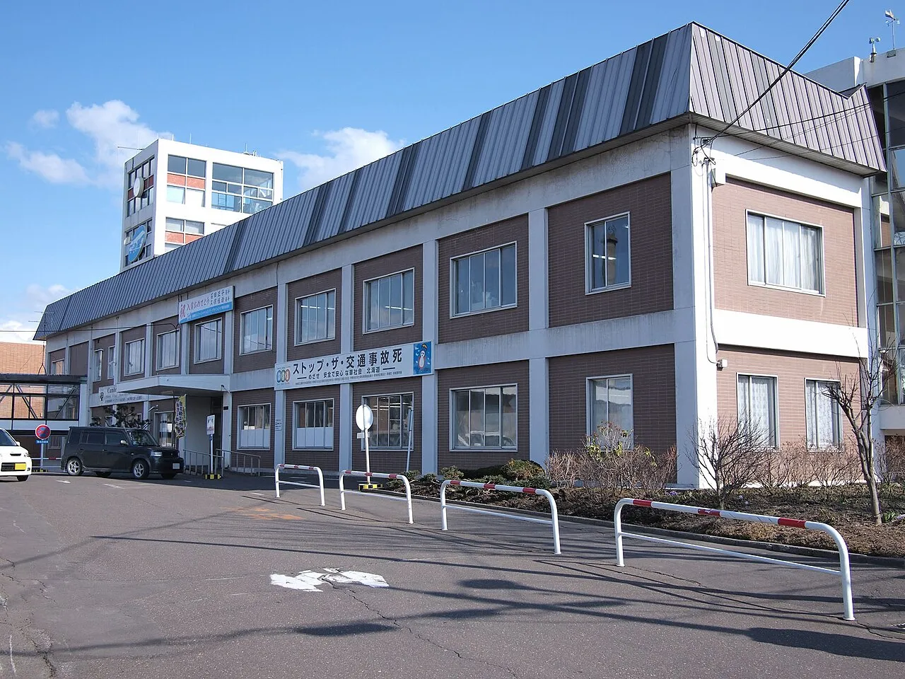
- Population
- 22,972
- 23K
- Elevation
- 26 m
- above sea level
- Local time
- UTC+09:00
- Asia/Tokyo · UTC+09:00
- Airports
- MMB Memanbetsu Airport8 km
- SHB Nakashibetsu Airport75 km
About Motomachi
Motomachi is a town. Location: Bihoro Chō, Abashiri District. Population: 22,972. Elevation: 26 m.
Bihoro (美幌町, Bihoro-chō) is a town located in Okhotsk Subprefecture, Hokkaido, Japan. The name is derived from the Ainu word piporo, meaning "place of much water". Largely agricultural, the town is best known for the Bihoro Pass, which has views over Lake Kussharo in the Akan National Park. It is also home to Bihoro Aviation Park, which contains a number of aircraft previously used by the Japan Self-Defense Forces.
Source: Wikipedia · CC BY-SA 4.0
Photos of Motomachi
-

Ryo FUKAsawa · CC BY 2.0 -

Fumikas Sagisavas · CC0 -

incorrectsummary · CC BY 2.0 -

incorrectsummary · CC BY 2.0 -

RJD · CC BY 3.0


Travel notes for Motomachi
From Wikivoyage
Bihoro (美幌) is a farming town in Okhotsk, Hokkaido, Japan.
Understand+
Tourist Information Site:
The local tourist association has a Japanese-only guide site.
Get in+
By plane:
Bihoro is a 20-minute bus ride away from Memanbetsu Airport (¥340).
By train:
Bihoro is on the JR Sekihoku Line (石北本線) from Asahikawa to Abashiri.
The Okhotsk limited express runs to Bihoro from Sapporo in about 5 hours at a cost of ¥9430.
By road:
Bihoro is a major road junction and highways lead from here to Abashiri on the northern coast, to Teshikaga (Akan National Park) and to Asahikawa and Sounkyo Onsen (Daisetsuzan National Park). Buses run along most roads but only very intermittently.
Source: Wikivoyage · CC BY-SA 4.0 · abridged
Places bordering Motomachi
- Tsubetsu Chō
- Kitami
- Ōzora Chō
- Koshimizu
- Teshikaga
Population of Motomachi over time
| 2010 | 21,575 | |
|---|---|---|
| 2015 | 20,296 | |
| 2020 | 18,943 |
Censuses and official estimates; source: Wikidata.
Climate of Motomachi
Best months for sightseeingBest months for sightseeing: July–August.
This month · November
A cold month
Day 7° · Night -1° · Rain 83 mm
- Hottest month
- August (day 24°)
- Coldest month
- January (night -12°)
- Wettest month
- September (141 mm)
- Driest month
- February (46 mm)
Bars: average monthly low and high temperature. Below: precipitation. Monthly averages for 1970–2000 at about 18 km resolution, adjusted for elevation. Highlighted months are mild and relatively dry. Source: WorldClim 2.1 (CC BY 4.0).
Show values as a table
| Month | Jan | Feb | Mar | Apr | May | Jun | Jul | Aug | Sep | Oct | Nov | Dec |
|---|---|---|---|---|---|---|---|---|---|---|---|---|
| Average high (°C) | -4° | -3° | 1° | 9° | 15° | 18° | 22° | 24° | 20° | 15° | 7° | 0° |
| Average low (°C) | -12° | -12° | -7° | 1° | 6° | 11° | 15° | 17° | 12° | 6° | -1° | -7° |
| Precipitation (mm) | 61 | 46 | 74 | 71 | 85 | 77 | 90 | 123 | 141 | 103 | 83 | 61 |
How to get to Motomachi
The nearest airport is Memanbetsu Airport (MMB), 8 km to the northeast as the crow flies. The nearest large city is Kitami, 17 km to the west.
Airports
- Memanbetsu Airport (MMB) Ōzora 8 kmnortheast
- Nakashibetsu Airport (SHB) Nakashibetsu 75 kmeast
- Monbetsu Airport (MBE) Monbetsu 77 kmnorthwest
Nearby large cities
- Kitami Population: 119.1K 17 kmwest
- Kushiro Population: 167.9K 97 kmsouth
- Obihiro Population: 166.5K 124 kmsouthwest
- Asahikawa Population: 333.5K 139 kmwest
- Ebetsu Population: 134K 221 kmwest
Straight-line distances; road distances are longer. Airport data: OurAirports.
Day trips from Motomachi
Within 100 km: 37 natural sites, 17 lakes, rivers and coasts.
0–25 km1 place
- Lake Abashiri Lake 17 kmN
25–60 km17 places
- Ahoro Dake Mountain 34 kmS
- Lake Mashū Lake 45 kmSE
- Mount Samakke Nupuri Mountain 54 kmE
- Mount Iō Mountain 37 kmSE
60–100 km36 places
- Mount Chinishibetsu Mountain 80 kmE
- Mount Minami Mountain 91 kmE
- Mount Chienbetsu Mountain 92 kmE
- Mount Higashi Mountain 93 kmE
Straight-line distances.
Sources & licences
Data last updated: · 2 independent sources