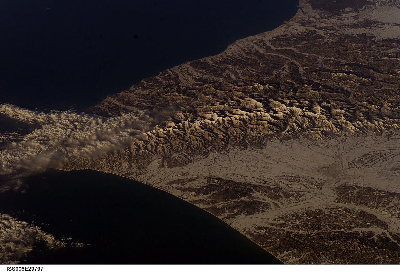
- Elevation
- 1,242 m
- above sea level
- Local time
- UTC+09:00
- Asia/Tokyo · UTC+09:00
- Airports
- OBO Tokachi-Obihiro Airport42 km
- CTS New Chitose Airport89 km
About Hidaka Sanmyaku
Hidaka Sanmyaku is a mountain. Location: Hokkaido, Japan. Elevation: 1,242 m.
The Hidaka Mountains (日高山脈, Hidaka-sanmyaku) are a mountain range in southeastern Hokkaido, Japan. It runs 150 km (93 mi) from Mount Sahoro or Karikachi Pass in central Hokkaidō south, running into the sea at Cape Erimo. It consists of folded mountains that range from 1,500 to 2,000 m (4,921 to 6,562 ft) in height. Mount Poroshiri is the highest at 2,053 m (6,736 ft). The Hidaka Mountains separate the subprefectures of Hidaka and Tokachi.
Source: Wikipedia · CC BY-SA 4.0
At a glance
- Length
- 150 km
Source: Wikidata
Climate of Hidaka Sanmyaku
Best months for sightseeingBest months for sightseeing: August.
This month · November
A wet month
Day 1° · Night -7° · Rain 111 mm
- Hottest month
- August (day 18°)
- Coldest month
- January (night -18°)
- Wettest month
- September (178 mm)
- Driest month
- February (54 mm)
Bars: average monthly low and high temperature. Below: precipitation. Monthly averages for 1970–2000 at about 18 km resolution, adjusted for elevation. Highlighted months are mild and relatively dry. Source: WorldClim 2.1 (CC BY 4.0).
Show values as a table
| Month | Jan | Feb | Mar | Apr | May | Jun | Jul | Aug | Sep | Oct | Nov | Dec |
|---|---|---|---|---|---|---|---|---|---|---|---|---|
| Average high (°C) | -8° | -8° | -4° | 2° | 9° | 13° | 17° | 18° | 14° | 8° | 1° | -5° |
| Average low (°C) | -18° | -18° | -13° | -5° | 0° | 5° | 10° | 11° | 6° | -1° | -7° | -13° |
| Precipitation (mm) | 65 | 54 | 86 | 98 | 115 | 110 | 140 | 170 | 178 | 142 | 111 | 74 |
Other places to visit in this season: August
How to get to Hidaka Sanmyaku
The nearest airport is Tokachi-Obihiro Airport (OBO), 42 km to the northeast as the crow flies. For international flights: New Chitose Airport (CTS) (89 km). The nearest large city is Obihiro, 53 km to the northeast.
Airports
- Tokachi-Obihiro Airport (OBO) Obihiro 42 kmnortheast
- New Chitose Airport (CTS) Sapporo 89 kmwest
- Asahikawa Airport (AKJ) Higashikagura 123 kmnorth
Nearby large cities
- Obihiro Population: 166.5K 53 kmnortheast
- Tomakomai Population: 174.8K 94 kmwest
- Ebetsu Population: 134K 114 kmnorthwest
- Sapporo Population: 2M 126 kmnorthwest
- Asahikawa Population: 333.5K 136 kmnorth
Straight-line distances; road distances are longer. Airport data: OurAirports.
Day trips from Hidaka Sanmyaku
Within 100 km: 51 natural sites, 8 lakes, rivers and coasts.
0–25 km19 places
- Mount Yaoromappu Mountain 7 kmSE
- Mount Fushimi Mountain 21 kmN
- Mount Soematsu Mountain 24 kmSE
- Mount Pisenai Mountain 22 kmSW
25–60 km21 places
- Mount Maru Mountain 56 kmSE
- Mount Daimaru Mountain 55 kmSE
- Mount Hiroo Mountain 53 kmSE
- Mount Rakko Mountain 46 kmSE
60–100 km19 places
- Hokkaido Island 95 kmN
- Mount Kannon Mountain 70 kmSE
- Mount Okishimappu Mountain 70 kmSE
- Mount Tengu Mountain 63 kmSE
Straight-line distances.
Nearest towns and villages
-
Nakasatsunai Mura Municipality, Kasai-gun17 km E
-
Shinhidaka Chō Municipality, Hidaka-gun19 km SW
-
Niikappu Chō Municipality, Niikappu-gun22 km W
-
 Urakawa Town, Hokkaido48 km S
-
Memuro Chō Municipality, Kasai-gun33 km NE
-
Hidaka Chō Municipality, Saru-gun35 km W
Nearby attractions & nature
Everything nearby-
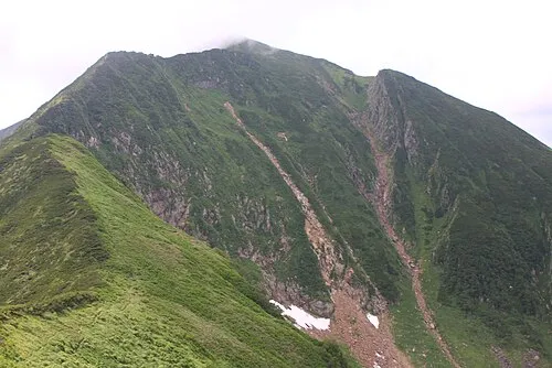 Mount Kamuiekuuchikaushi Mountain, Nakasatsunai Mura4.8 km N
-
Mount Yaoromappu Mountain, Taiki Chō7.5 km SE
-
Mount Esaoman-Tottabetsu Mountain, Obihiro Shi12 km N
-
Mount Rubetsune Mountain, Taiki Chō11 km SE
-
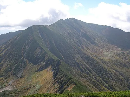 Mount Poroshiri Mountain, Biratori Chō16 km N
-
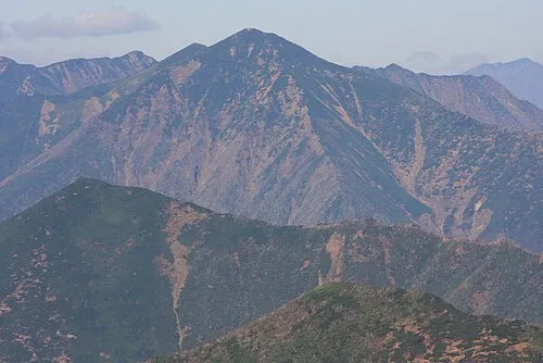 Mount Petegari Mountain, Shinhidaka Chō14 km SE
-
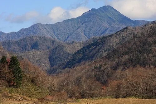 Mount Kamui Mountain, Taiki Chō21 km SE
-
 Nakano Dake Mountain, Shinhidaka Chō17 km SE
More nature in Japan
-
Mount Pirigai Mountain, Shinhidaka Chō17 km S
-
Mount Tottabetsu Mountain, Niikappu Chō18 km N
-
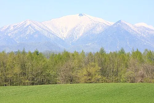 Mount Tokachiporoshiri Mountain, Obihiro Shi15 km NE
-
Pon’yaoromappu Dake Mountain, Taiki Chō17 km SE
-
Mount Rutori Mountain, Taiki Chō19 km SE
-
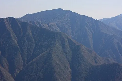 Pirikanupuri Mountain, Urakawa Chō27 km SE
Sources & licences
Data last updated: · 2 independent sources