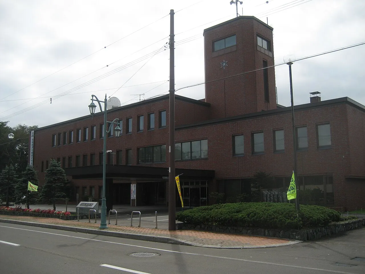
- Population
- 9,784
- 9.8K
- Elevation
- 157 m
- above sea level
- Local time
- UTC+09:00
- Asia/Tokyo · UTC+09:00
- Airports
- OBO Tokachi-Obihiro Airport41 km
- AKJ Asahikawa Airport82 km
About Shimizu
Shimizu is a town. Location: Shimizu Chō, Kamikawa-gun (Tokachi). Population: 9,784. Elevation: 157 m.
Shimizu (清水町, Shimizu-chō) is a town located in Tokachi Subprefecture, Hokkaidō, Japan. As of 31 December 2025, the town had an estimated population of 8631 in 4314 households, and a population density of 21 people per km2. The total area of the town is 402.25 km2 (155.31 sq mi). The name Shimizu is taken from the Japanese translation of the Ainu word "Pekerebetsu", which means bright clean river.
Source: Wikipedia · CC BY-SA 4.0
Photos of Shimizu
-

Asasa198 · CC BY-SA 3.0 -

Sinryow · CC BY-SA 4.0 -

Hokkaido-man · CC BY-SA 3.0 -

Hiyashimizu · CC BY 3.0 -

Mamusi Taka · CC BY-SA 3.0


Places bordering Shimizu
- Shintoku
- Shikaoi Chō
- Memuro-minami
- Minamifurano Chō
- Hidaka Chō
Population of Shimizu over time
| 2010 | 9,961 | |
|---|---|---|
| 2015 | 9,599 | |
| 2020 | 9,305 |
Censuses and official estimates; source: Wikidata.
Climate of Shimizu
Best months for sightseeingBest months for sightseeing: June–August.
This month · November
A cold month
Day 7° · Night -2° · Rain 92 mm
- Hottest month
- August (day 24°)
- Coldest month
- January (night -14°)
- Wettest month
- September (154 mm)
- Driest month
- February (42 mm)
Bars: average monthly low and high temperature. Below: precipitation. Monthly averages for 1970–2000 at about 18 km resolution, adjusted for elevation. Highlighted months are mild and relatively dry. Source: WorldClim 2.1 (CC BY 4.0).
Show values as a table
| Month | Jan | Feb | Mar | Apr | May | Jun | Jul | Aug | Sep | Oct | Nov | Dec |
|---|---|---|---|---|---|---|---|---|---|---|---|---|
| Average high (°C) | -3° | -2° | 2° | 10° | 16° | 20° | 23° | 24° | 20° | 15° | 7° | 0° |
| Average low (°C) | -14° | -14° | -8° | 0° | 5° | 10° | 15° | 16° | 11° | 4° | -2° | -9° |
| Precipitation (mm) | 56 | 42 | 60 | 72 | 90 | 91 | 113 | 147 | 154 | 116 | 92 | 61 |
How to get to Shimizu
The nearest airport is Tokachi-Obihiro Airport (OBO), 41 km to the southeast as the crow flies. For international flights: New Chitose Airport (CTS) (101 km). The nearest large city is Obihiro, 28 km to the east.
Airports
- Tokachi-Obihiro Airport (OBO) Obihiro 41 kmsoutheast
- Asahikawa Airport (AKJ) Higashikagura 82 kmnorthwest
- New Chitose Airport (CTS) Sapporo 101 kmwest
Nearby large cities
- Obihiro Population: 166.5K 28 kmeast
- Asahikawa Population: 333.5K 95 kmnorthwest
- Ebetsu Population: 134K 109 kmwest
- Tomakomai Population: 174.8K 113 kmwest
- Kitami Population: 119.1K 120 kmnortheast
Straight-line distances; road distances are longer. Airport data: OurAirports.
Day trips from Shimizu
Within 100 km: 1 historic or cultural site, 60 natural sites, 8 lakes, rivers and coasts.
0–25 km6 places
- Mount Kyusan Mountain 17 kmS
- Mount Tsurugi Mountain 18 kmS
- Mount Tomamu Mountain 25 kmW
- Mount Sahoro Mountain 20 kmNW
25–60 km28 places
- Hokkaido Island 47 kmN
- Mount Rutori Mountain 58 kmS
- Pon’yaoromappu Dake Mountain 55 kmS
- Mount Poroshiri Mountain 36 kmSW
60–100 km35 places
- Mount Maru Mountain 87 kmSE
- Mount Daimaru Mountain 85 kmSE
- Mount Hiroo Mountain 89 kmS
- Mount Rakko Mountain 84 kmS
Straight-line distances.
Nearby attractions & nature
Everything nearby-
Mount Kyusan Mountain, Shimizu Chō17 km S
-
Mount Tsurugi Mountain, Shimizu Chō18 km S
-
Mount Memuro Mountain, Hidaka Chō17 km SW
-
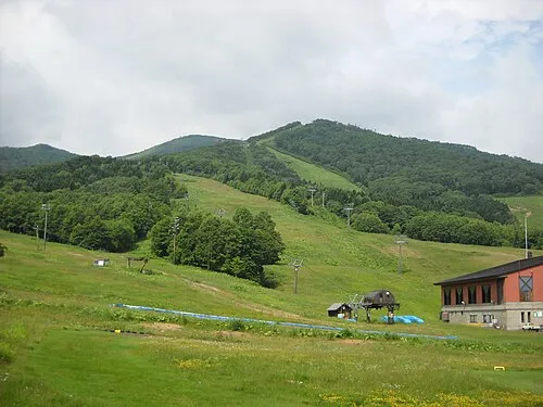 Mount Sahoro Mountain, Shintoku Chō20 km NW
-
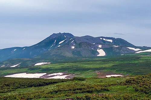 Mount Tomuraushi Mountain, Memuro Chō25 km S
-
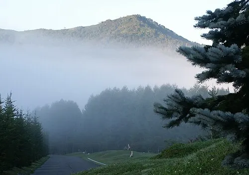 Mount Tomamu Mountain, Minamifurano Chō25 km W
Sources & licences
Data last updated: · 2 independent sources