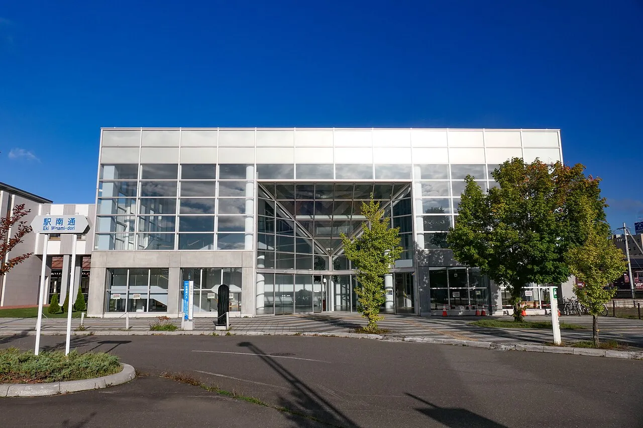
- Population
- 119,135
- 119.1K
- Elevation
- 79 m
- above sea level
- Local time
- UTC+09:00
- Asia/Tokyo · UTC+09:00
- Airports
- MMB Memanbetsu Airport24 km
- MBE Monbetsu Airport68 km
About Kitami
Kitami is a city. Location: Kitami Shi, Hokkaido. Population: 119,135. Elevation: 79 m.
Kitami (北見市, Kitami-shi; Japanese pronunciation: [k̟ʲi̥.tä́.mʲì, -mʲí.ɕì]) is a city in Okhotsk Subprefecture, Hokkaido, Japan. It is the most populous city and the commercial center in the subprefecture, although the subprefecture capital is Abashiri. Kitami is physically in the middle of Okhotsk Subprefecture. The Kitami Mountains are nearby and are the main reason behind the city's name. The city is the result of the merger of Kitami, Tanno, Tokoro and Rubeshibe towns in 2006 administrative reform.
Source: Wikipedia · CC BY-SA 4.0
Places bordering Kitami
- Abashiri
- Kunneppu Chō
- Oketo
- Saroma Chō
- Ōzora Chō
- Tsubetsu Chō
- Motomachi
- Engaru Chō
- Yūbetsu Chō
- Kamikawa
- Kamishihoro Chō
Twin towns and sister cities of Kitami
- Kōchi Shi· Japan
- Marumori Machi· Japan
- Ōno Chō· Japan
- Sakawa· Japan
Source: Wikidata. Only places with a page on this site are shown.
Population of Kitami over time
| 2010 | 125,689 | |
|---|---|---|
| 2014 | 122,526 | |
| 2015 | 121,226 | |
| 2020 | 115,441 |
Censuses and official estimates; source: Wikidata.
Climate of Kitami
Best months for sightseeingBest months for sightseeing: July–August.
This month · November
A cold month
Day 7° · Night -1° · Rain 86 mm
- Hottest month
- August (day 24°)
- Coldest month
- January (night -13°)
- Wettest month
- September (143 mm)
- Driest month
- February (47 mm)
Bars: average monthly low and high temperature. Below: precipitation. Monthly averages for 1970–2000 at about 18 km resolution, adjusted for elevation. Highlighted months are mild and relatively dry. Source: WorldClim 2.1 (CC BY 4.0).
Show values as a table
| Month | Jan | Feb | Mar | Apr | May | Jun | Jul | Aug | Sep | Oct | Nov | Dec |
|---|---|---|---|---|---|---|---|---|---|---|---|---|
| Average high (°C) | -4° | -3° | 1° | 9° | 15° | 18° | 23° | 24° | 20° | 15° | 7° | 0° |
| Average low (°C) | -13° | -13° | -7° | 1° | 6° | 10° | 15° | 17° | 12° | 5° | -1° | -8° |
| Precipitation (mm) | 62 | 47 | 77 | 70 | 85 | 79 | 92 | 128 | 143 | 105 | 86 | 62 |
How to get to Kitami
The nearest airport is Memanbetsu Airport (MMB), 24 km to the east as the crow flies. The nearest large city is Kushiro, 100 km to the southeast.
Airports
- Memanbetsu Airport (MMB) Ōzora 24 kmeast
- Monbetsu Airport (MBE) Monbetsu 68 kmnorthwest
- Kushiro Airport (KUH) Kushiro 88 kmsouth
Nearby large cities
- Kushiro Population: 167.9K 100 kmsoutheast
- Obihiro Population: 166.5K 113 kmsouthwest
- Asahikawa Population: 333.5K 123 kmwest
- Ebetsu Population: 134K 205 kmwest
- Sapporo Population: 2M 221 kmwest
Straight-line distances; road distances are longer. Airport data: OurAirports.
Sources & licences
Data last updated: · 2 independent sources