Komaga-dake
Local name: 北海道駒ヶ岳
Located in Hokkaido, Japan Coordinates: 42°03′55″ N 140°40′47″ E
- Elevation
- 1,131 m
- above sea level
- Local time
- UTC+09:00
- Asia/Tokyo · UTC+09:00
- Airports
- HKD Hakodate Airport35 km
- OIR Okushiri Airport103 km
About Komaga-dake
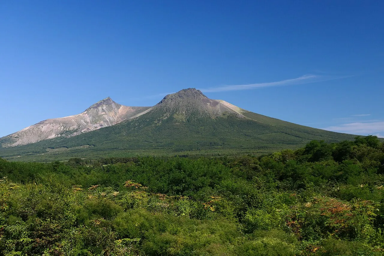
Komaga-dake is a mountain. Location: Hokkaido, Japan. Elevation: 1,131 m.
Hokkaidō Koma-ga-take (北海道駒ヶ岳, Hokkaidō Koma-ga-take), also Oshima Koma-ga-take (渡島駒ヶ岳), Oshima Fuji (渡島富士), or just Koma-ga-take (駒ヶ岳) is a 1,131 metres (3,711 ft) andesitic stratovolcano on the border between Mori, Shikabe, and Nanae, all within the Oshima Subprefecture of Hokkaidō, Japan. Occurrence of volcanic activity started some 30,000 years ago. Following roughly 5,000 years of dormancy, volcanic activity at Mount Koma-ga-take restarted in 1640.
Read more on Wikipedia Text: Wikipedia contributors · CC BY-SA 4.0 · shortened
Climate of Komaga-dake
Bars: average monthly low and high temperature. Below: precipitation. Monthly averages for 1970–2000 at about 18 km resolution, adjusted for elevation. Highlighted months are mild and relatively dry. Source: WorldClim 2.1 (CC BY 4.0).
Show values as a table
| Month | Jan | Feb | Mar | Apr | May | Jun | Jul | Aug | Sep | Oct | Nov | Dec |
|---|---|---|---|---|---|---|---|---|---|---|---|---|
| Average high (°C) | -7° | -6° | -3° | 4° | 9° | 12° | 15° | 18° | 15° | 9° | 2° | -4° |
| Average low (°C) | -13° | -12° | -10° | -4° | 1° | 5° | 10° | 12° | 8° | 1° | -5° | -10° |
| Precipitation (mm) | 83 | 71 | 73 | 88 | 93 | 102 | 142 | 176 | 173 | 114 | 111 | 89 |
Airports nearest to Komaga-dake
- Hakodate Airport (HKD) Hakodate 35 km
- Okushiri Airport (OIR) Okushiri Island 103 km
- New Chitose Airport (CTS) Sapporo 115 km
Straight-line distance; airports with scheduled flights only. Source: OurAirports (public domain).
Nearest towns and villages
-
Mori-machi Municipality, Kayabe-gun9.7 km W
-
Shikabe Chō Municipality, Kayabe-gun9.8 km SE
-
Shikabe Village, Shikabe Chō12 km E
-
Nanae Chō Municipality, Kameda-gun13 km S
-
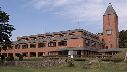 Honchō Town, Nanae Chō19 km S
-
 Hokuto City, Hokuto Shi28 km S
Nearby attractions & nature
Everything nearby-
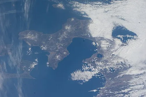 Oshima Peninsula Natural site, Japan17 km SW
-
Tokoro River River, Hokkaido15 km E
More nature in Japan
-
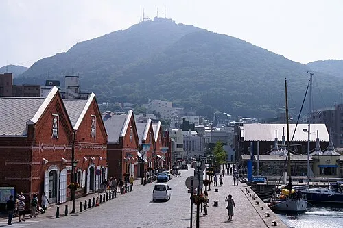 Mount Hakodate Mountain, Hakodate Shi34 km S
-
Mount Maru Mountain, Hokkaido42 km SE
-
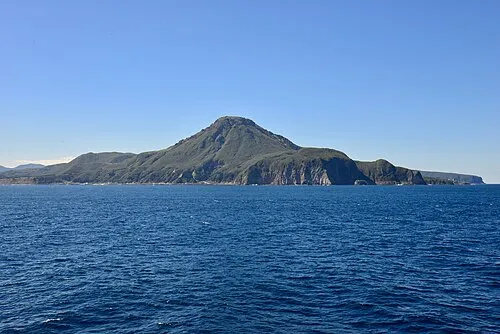 Mount E Mountain, Hakodate Shi50 km SE
-
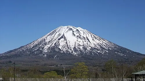 Yōtei-zan Mountain, Kutchan Chō85 km N
-
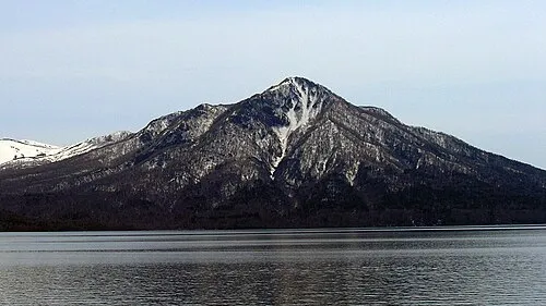 Mount Fuppushi Mountain, Chitose Shi92 km NE
-
Mount Monbetsu Mountain, Chitose Shi99 km NE
Sources & licences
Data last updated: · 2 independent sources