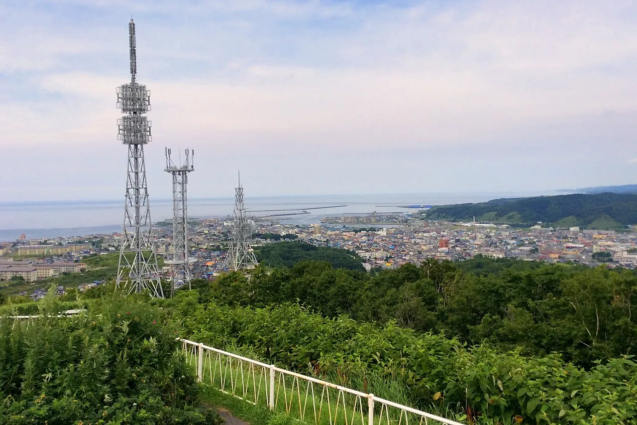
- Population
- 26,454
- 26.5K
- Elevation
- 35 m
- above sea level
- Local time
- UTC+09:00
- Asia/Tokyo · UTC+09:00
- Airports
- AKJ Asahikawa Airport71 km
- OKD Sapporo Okadama Airport93 km
About Rumoi
Rumoi is a city. Location: Rumoi Shi, Hokkaido. Population: 26,454. Elevation: 35 m.
Rumoi (留萌市, Rumoi-shi) is a city in Rumoi Subprefecture, Hokkaido, Japan. As of 31 January 2025, the city had an estimated population of 18,132 in 10519 households, and a population density of 61 people per km2. The total area of the city is 297.81 km2 (114.99 sq mi). There are several theories about the origin of the name, which comes from the Ainu word for the Rumoi River.
Source: Wikipedia · CC BY-SA 4.0
Places bordering Rumoi
- Obirachō
- Mashike Chō
- Hokuryū
- Numata
Population of Rumoi over time
| 2010 | 24,457 | |
|---|---|---|
| 2014 | 23,060 | |
| 2015 | 22,221 | |
| 2020 | 20,260 |
Censuses and official estimates; source: Wikidata.
Climate of Rumoi
Best months for sightseeingBest months for sightseeing: June–August.
This month · November
A wet month
Day 7° · Night 1° · Rain 140 mm
- Hottest month
- August (day 25°)
- Coldest month
- February (night -9°)
- Wettest month
- August (145 mm)
- Driest month
- April (57 mm)
Bars: average monthly low and high temperature. Below: precipitation. Monthly averages for 1970–2000 at about 18 km resolution, adjusted for elevation. Highlighted months are mild and relatively dry. Source: WorldClim 2.1 (CC BY 4.0).
Show values as a table
| Month | Jan | Feb | Mar | Apr | May | Jun | Jul | Aug | Sep | Oct | Nov | Dec |
|---|---|---|---|---|---|---|---|---|---|---|---|---|
| Average high (°C) | -1° | -1° | 3° | 9° | 15° | 19° | 23° | 25° | 21° | 15° | 7° | 2° |
| Average low (°C) | -8° | -9° | -5° | 2° | 6° | 11° | 16° | 17° | 12° | 6° | 1° | -5° |
| Precipitation (mm) | 108 | 77 | 63 | 57 | 62 | 68 | 96 | 145 | 141 | 133 | 140 | 134 |
How to get to Rumoi
The nearest airport is Asahikawa Airport (AKJ), 71 km to the southeast as the crow flies. For international flights: New Chitose Airport (CTS) (129 km). The nearest large city is Asahikawa, 61 km to the east.
Airports
- Asahikawa Airport (AKJ) Higashikagura 71 kmsoutheast
- Sapporo Okadama Airport (OKD) Sapporo 93 kmsouth
- New Chitose Airport (CTS) Sapporo 129 kmsouth
Nearby large cities
- Asahikawa Population: 333.5K 61 kmeast
- Ebetsu Population: 134K 92 kmsouth
- Otaru Population: 115.3K 98 kmsouthwest
- Sapporo Population: 2M 99 kmsouth
- Tomakomai Population: 174.8K 144 kmsouth
Straight-line distances; road distances are longer. Airport data: OurAirports.
Sources & licences
Data last updated: · 2 independent sources