- Population
- 4,406
- 4.4K
- Elevation
- 516 m
- above sea level
- Local time
- UTC+09:00
- Asia/Tokyo · UTC+09:00
- Places inside
- 1
- listed under Kiyosato Chō
- Airports
- SHB Nakashibetsu Airport34 km
- MMB Memanbetsu Airport39 km
About Kiyosato Chō
Kiyosato Chō is a municipality. Location: Shari-gun, Hokkaido. Population: 4,406. Elevation: 516 m.
Kiyosato (清里町, Kiyosato-chō) is a town in Okhotsk Subprefecture, Hokkaido, Japan. As of August 2026, the town has an estimated population of 3,502 and a population density of 10 persons per km2. The total area is 402.73 km2 (155.49 sq mi).
Source: Wikipedia · CC BY-SA 4.0
Photos of Kiyosato Chō
-

Shibetsu Dake Highten31 · CC BY-SA 3.0

Places bordering Kiyosato Chō
- Shari Chō
- Koshimizu
- Nakashibetsu Chō
- Shibetsu Chō
- Teshikaga
Population of Kiyosato Chō over time
| 2010 | 4,551 | |
|---|---|---|
| 2015 | 4,221 | |
| 2020 | 3,952 |
Censuses and official estimates; source: Wikidata.
Climate of Kiyosato Chō
Best months for sightseeingBest months for sightseeing: July–August.
This month · November
A cold month
Day 4° · Night -2° · Rain 83 mm
- Hottest month
- August (day 20°)
- Coldest month
- February (night -13°)
- Wettest month
- September (152 mm)
- Driest month
- February (46 mm)
Bars: average monthly low and high temperature. Below: precipitation. Monthly averages for 1970–2000 at about 18 km resolution, adjusted for elevation. Highlighted months are mild and relatively dry. Source: WorldClim 2.1 (CC BY 4.0).
Show values as a table
| Month | Jan | Feb | Mar | Apr | May | Jun | Jul | Aug | Sep | Oct | Nov | Dec |
|---|---|---|---|---|---|---|---|---|---|---|---|---|
| Average high (°C) | -6° | -6° | -2° | 5° | 11° | 15° | 18° | 20° | 17° | 12° | 4° | -2° |
| Average low (°C) | -12° | -13° | -8° | -1° | 4° | 8° | 13° | 15° | 11° | 5° | -2° | -8° |
| Precipitation (mm) | 60 | 46 | 76 | 77 | 91 | 81 | 94 | 124 | 152 | 112 | 83 | 57 |
How to get to Kiyosato Chō
The nearest airport is Nakashibetsu Airport (SHB), 34 km to the southeast as the crow flies. The nearest large city is Kitami, 58 km to the west.
Airports
- Nakashibetsu Airport (SHB) Nakashibetsu 34 kmsoutheast
- Memanbetsu Airport (MMB) Ōzora 39 kmnorthwest
- Kushiro Airport (KUH) Kushiro 84 kmsouthwest
Nearby large cities
- Kitami Population: 119.1K 58 kmwest
- Kushiro Population: 167.9K 86 kmsouth
- Obihiro Population: 166.5K 145 kmsouthwest
- Asahikawa Population: 333.5K 180 kmwest
- Ebetsu Population: 134K 256 kmwest
Straight-line distances; road distances are longer. Airport data: OurAirports.
Day trips from Kiyosato Chō
Within 100 km: 26 natural sites, 18 lakes, rivers and coasts.
0–25 km7 places
- Lake Mashū Lake 17 kmS
- Mount Samakke Nupuri Mountain 12 kmSE
- Mount Iō Mountain 19 kmSW
- Akan National Park Natural site 24 kmSW
25–60 km16 places
- Ahoro Dake Mountain 49 kmSW
- Mount Chinishibetsu Mountain 48 kmNE
- Mount Sashirui Mountain 59 kmNE
- Shiretoko Peninsula Natural site 44 kmNE
60–100 km21 places
- Mount Poromoi Mountain 83 kmNE
- Mount Minami Mountain 62 kmNE
- Mount Chienbetsu Mountain 63 kmNE
- Mount Higashi Mountain 64 kmNE
Straight-line distances.
Places in Kiyosato Chō
1 placeNearby attractions & nature
Everything nearby-
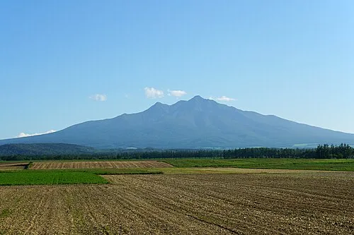 Shari Dake Mountain, Shari Chō10 km E
-
 Mount Samakke Nupuri Mountain, Nakashibetsu Chō12 km SE
-
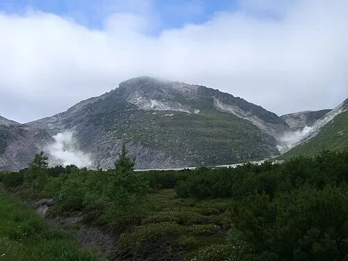 Mount Iō Mountain, Teshikaga Chō19 km SW
-
Kamuinupuri Mountain, Kawakami-gun18 km S
-
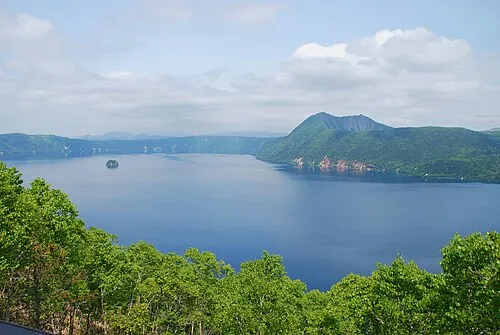 Lake Mashū Lake, Hokkaido17 km S
-
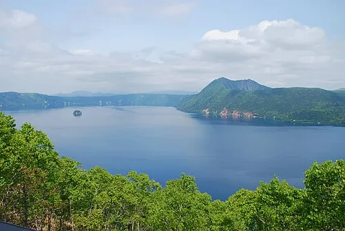 Akan National Park Natural site, Kawakami-gun24 km SW
Sources & licences
Data last updated: · 2 independent sources