Mount Iō
Local name: 硫黄山
Located in Shari Chō, Shari-gun Coordinates: 44°07′59″ N 145°09′40″ E
- Elevation
- 1,562 m
- above sea level
- Local time
- UTC+09:00
- Asia/Tokyo · UTC+09:00
- Airports
- SHB Nakashibetsu Airport64 km
- MMB Memanbetsu Airport85 km
About Mount Iō
Mount Iō is a mountain. Location: Shari Chō, Shari-gun. Elevation: 1,562 m.
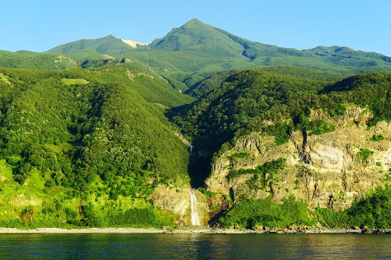
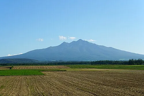
Mount Iō (硫黄山, Iō-zan) also Mount Iwo is an active andesitic stratovolcano on the Shiretoko Peninsula of Hokkaidō, Japan. It sits within the borders of the town of Shari. Mount Iō is known for erupting liquid sulphur in the eruptions of 1889 and 1936. Mount Iō literally means, sulphur mountain. There are two explosion craters and a lava dome at the summit of the volcano.
Source: Wikipedia · CC BY-SA 4.0
At a glance
- Topographic prominence
- 243 m
Source: Wikidata
Photos of Mount Iō
-

663highland · CC BY 2.5 -

663highland · CC BY 2.5 -

Trengarasu · Public domain -

Washiucho · Public domain -

Highten31 · CC BY-SA 3.0


Climate of Mount Iō
This month · November
A cold month
Day -2° · Night -8° · Rain 91 mm
- Hottest month
- August (day 12°)
- Coldest month
- February (night -18°)
- Wettest month
- September (161 mm)
- Driest month
- February (49 mm)
Bars: average monthly low and high temperature. Below: precipitation. Monthly averages for 1970–2000 at about 18 km resolution, adjusted for elevation. Highlighted months are mild and relatively dry. Source: WorldClim 2.1 (CC BY 4.0).
Show values as a table
| Month | Jan | Feb | Mar | Apr | May | Jun | Jul | Aug | Sep | Oct | Nov | Dec |
|---|---|---|---|---|---|---|---|---|---|---|---|---|
| Average high (°C) | -12° | -12° | -9° | -3° | 3° | 7° | 11° | 12° | 9° | 4° | -2° | -9° |
| Average low (°C) | -18° | -18° | -15° | -8° | -3° | 1° | 5° | 7° | 4° | -1° | -8° | -14° |
| Precipitation (mm) | 67 | 49 | 77 | 79 | 95 | 84 | 98 | 127 | 161 | 124 | 91 | 62 |
How to get to Mount Iō
The nearest airport is Nakashibetsu Airport (SHB), 64 km to the south as the crow flies. The nearest large city is Kitami, 108 km to the west.
Airports
- Nakashibetsu Airport (SHB) Nakashibetsu 64 kmsouth
- Memanbetsu Airport (MMB) Ōzora 85 kmwest
- Monbetsu Airport (MBE) Monbetsu 142 kmwest
Nearby large cities
- Kitami Population: 119.1K 108 kmwest
- Kushiro Population: 167.9K 144 kmsouthwest
- Obihiro Population: 166.5K 208 kmsouthwest
- Asahikawa Population: 333.5K 228 kmwest
- Ebetsu Population: 134K 313 kmwest
Straight-line distances; road distances are longer. Airport data: OurAirports.
Day trips from Mount Iō
Within 100 km: 22 natural sites, 9 lakes, rivers and coasts.
0–25 km14 places
- Mount Poromoi Mountain 19 kmNE
- Mount Chinishibetsu Mountain 15 kmSW
- Mount Minami Mountain 2 kmS
- Mount Chienbetsu Mountain 1 kmSE
25–60 km3 places
- Shibetsu River River 51 kmS
- Mount Unabetsu Mountain 36 kmSW
- Shari Dake Mountain 54 kmSW
60–100 km14 places
- Lake Mashū Lake 79 kmSW
- Mount Samakke Nupuri Mountain 61 kmSW
- Mount Iō Mountain 82 kmSW
- Akan National Park Natural site 88 kmSW
Straight-line distances.
Nearest towns and villages
-
Rausu Chō Municipality, Menashi-gun11 km S
-
Rausu Town, Rausu Chō13 km S
-
Honmachi Town, Shari Chō47 km SW
-
Shibetsu Chō Municipality, Shibetsu-gun46 km S
-
Shibetsu Town, Shibetsu Chō53 km S
Nearby attractions & nature
Everything nearby-
Mount Chienbetsu Mountain, Shari Chō1.1 km SE
-
Mount Higashi Mountain, Shari Chō1.6 km E
-
Mount Minami Mountain, Shari Chō2.4 km S
-
Okkabake Dake Mountain, Rausu Chō3.4 km S
-
Mount Sashirui Mountain, Rausu Chō4.4 km S
-
Mount Rusha Mountain, Shari Chō3.9 km E
-
Shiretoko National Park Natural site, Rausu Chō4.1 km SE
-
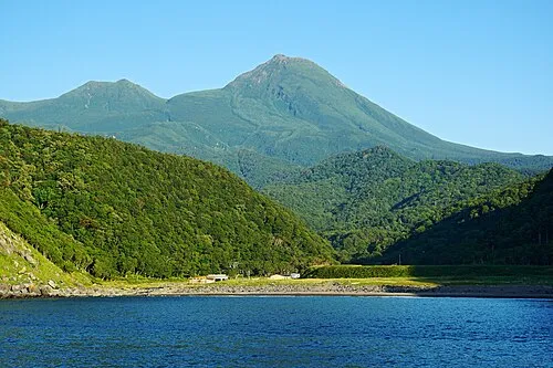 Rausu Dake Mountain, Rausu Chō7.1 km SW
More nature in Japan
-
Mount Chinishibetsu Mountain, Shari Chō15 km SW
-
 Mount Onnebetsu Mountain, Shari Chō20 km SW
-
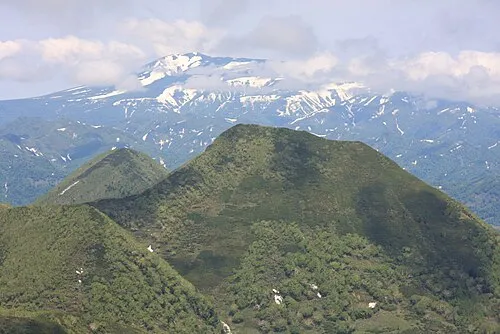 Mount Unabetsu Mountain, Shari Chō36 km SW
-
 Shari Dake Mountain, Shari Chō54 km SW
Sources & licences
Data last updated: · 2 independent sources