- Population
- 43,107
- 43.1K
- Elevation
- 25 m
- above sea level
- Local time
- UTC+09:00
- Asia/Tokyo · UTC+09:00
- Airports
- HNA Iwate Hanamaki Airport65 km
- AXT Akita Airport147 km
About Kamaishi
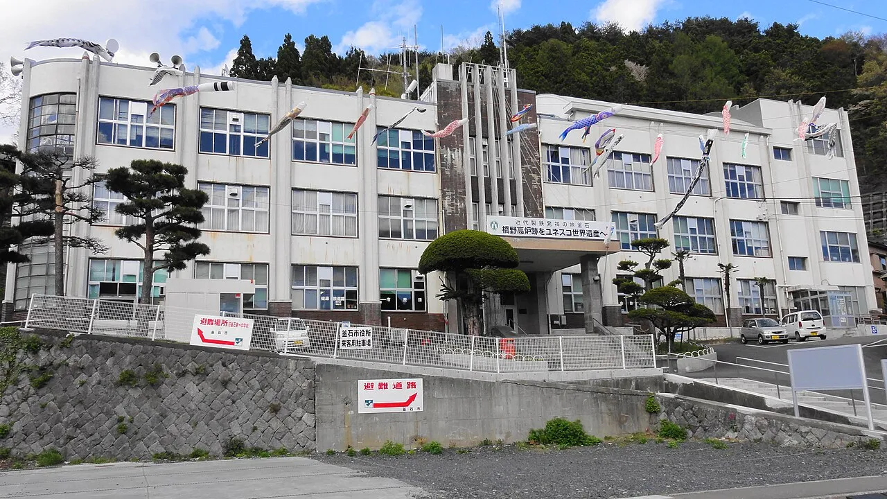
Kamaishi is a city. Location: Kamaishi Shi, Iwate. Population: 43,107. Elevation: 25 m.
Kamaishi (釜石市, Kamaishi-shi) is a city located on the Sanriku coast in Iwate Prefecture, Japan. As of 31 March 2020, the city had an estimated population of 32,609, and a population density of 74 persons per km2, in 16,230 households. The total area of the city is 441.43 square kilometres (170.44 sq mi)
Source: Wikipedia · CC BY-SA 4.0
Photos of Kamaishi
-

くろふね · CC BY 3.0 -

Hitoshi Taguchi from Arakawa-ku, Japan · CC BY 2.0 -

Hajime NAKANO from Tokyo, Japan · CC BY 2.0 -

inunami · CC BY 2.0 -

Aude · CC BY-SA 3.0


Travel notes for Kamaishi
From Wikivoyage
Kamaishi (釜石) is an ex-steeltown in Iwate, Japan. Hashino Iron Mine was registered as a UNESCO World Heritage site in 2015.
Understand+
Tourist information site:
The local Tourism & Products Association has a multilingual guide site.
Get in+
Kamaishi is on the Pacific Ocean, on the eastern end of JR's Kamaishi Line, which extends from Hanamaki in central Iwate to Kamaishi on the coast. On this route is also Shin-Hanamaki Bullet Train Station, which is on the Tohoku Shinkansen Line. Trains only run a few times a day, so plan your schedule carefully.
Source: Wikivoyage · CC BY-SA 4.0 · abridged
Places bordering Kamaishi
- Tōno
- Ōfunato
- Ōtsuchi
- Sumita Chō
Twin towns and sister cities of Kamaishi
- Asahi Machi· Japan
- Tōkai-shi· Japan
Source: Wikidata. Only places with a page on this site are shown.
Population of Kamaishi over time
| 2010 | 39,574 | |
|---|---|---|
| 2015 | 36,802 | |
| 2021 | 33,061 |
Censuses and official estimates; source: Wikidata.
Climate of Kamaishi
Best months for sightseeingBest months for sightseeing: June–July, September.
This month · November
Outside the best season
Day 13° · Night 4° · Rain 84 mm
- Hottest month
- August (day 27°)
- Coldest month
- February (night -3°)
- Wettest month
- September (211 mm)
- Driest month
- January (49 mm)
Bars: average monthly low and high temperature. Below: precipitation. Monthly averages for 1970–2000 at about 18 km resolution, adjusted for elevation. Highlighted months are mild and relatively dry. Source: WorldClim 2.1 (CC BY 4.0).
Show values as a table
| Month | Jan | Feb | Mar | Apr | May | Jun | Jul | Aug | Sep | Oct | Nov | Dec |
|---|---|---|---|---|---|---|---|---|---|---|---|---|
| Average high (°C) | 5° | 5° | 8° | 14° | 18° | 21° | 25° | 27° | 23° | 18° | 13° | 8° |
| Average low (°C) | -3° | -3° | -1° | 4° | 9° | 13° | 18° | 20° | 16° | 9° | 4° | 0° |
| Precipitation (mm) | 49 | 60 | 83 | 120 | 133 | 147 | 164 | 165 | 211 | 154 | 84 | 57 |
How to get to Kamaishi
The nearest airport is Iwate Hanamaki Airport (HNA), 65 km to the west as the crow flies. For international flights: Sendai Airport (SDJ) (151 km). The nearest large city is Ōshū, 62 km to the west.
Airports
- Iwate Hanamaki Airport (HNA) Hanamaki 65 kmwest
- Akita Airport (AXT) Akita 147 kmwest
- Sendai Airport (SDJ) Natori 151 kmsouthwest
Nearby large cities
- Ōshū Population: 112.9K 62 kmwest
- Ichinoseki Population: 114.5K 75 kmsouthwest
- Morioka Population: 290.7K 78 kmnorthwest
- Ishinomaki Population: 140.2K 107 kmsouthwest
- Ōsaki Population: 128.8K 109 kmsouthwest
Straight-line distances; road distances are longer. Airport data: OurAirports.
Day trips from Kamaishi
Within 100 km: 1 historic or cultural site, 5 natural sites, 9 lakes, rivers and coasts.
25–60 km4 places
- Miyako Bay Natural site 44 kmN
- Hayachine Mountain 46 kmNW
- Matsu Shima Island 40 kmSW
- Kinu Gawa River 55 kmW
60–100 km11 places
- Waga River River 64 kmW
- Isawa-gawa River 63 kmW
- Shizukuishi River River 76 kmNW
- Mount Himekami Mountain 83 kmNW
Straight-line distances.
Sources & licences
Data last updated: · 2 independent sources