- Elevation
- 0 m
- above sea level
- Local time
- UTC+09:00
- Asia/Tokyo · UTC+09:00
- Airports
- KCZ Kochi Ryoma Airport34 km
- TAK Takamatsu Airport88 km
About Nahari Gawa
Nahari Gawa is a river. Location: Kochi, Japan. The best months to visit are May–June, October. The nearest airport is Kochi Ryoma Airport (34 km).
Climate of Nahari Gawa
Best months for sightseeingBest months for sightseeing: May–June, October.
This month · November
A wet month
Day 18° · Night 11° · Rain 123 mm
Better nearby cities in November
- Kochi · 47 km west18°
- Ōita · 225 km west18°
- Beppu · 234 km west17°
- Hottest month
- August (day 30°)
- Coldest month
- January (night 3°)
- Wettest month
- June (351 mm)
- Driest month
- December (59 mm)
Bars: average monthly low and high temperature. Below: precipitation. Monthly averages for 1970–2000 at about 18 km resolution, adjusted for elevation. Highlighted months are mild and relatively dry. Source: WorldClim 2.1 (CC BY 4.0).
Show values as a table
| Month | Jan | Feb | Mar | Apr | May | Jun | Jul | Aug | Sep | Oct | Nov | Dec |
|---|---|---|---|---|---|---|---|---|---|---|---|---|
| Average high (°C) | 10° | 11° | 14° | 19° | 23° | 25° | 29° | 30° | 27° | 23° | 18° | 13° |
| Average low (°C) | 3° | 4° | 7° | 12° | 16° | 20° | 24° | 25° | 22° | 16° | 11° | 5° |
| Precipitation (mm) | 65 | 94 | 140 | 228 | 257 | 351 | 280 | 206 | 310 | 183 | 123 | 59 |
How to get to Nahari Gawa
The nearest airport is Kochi Ryoma Airport (KCZ), 34 km to the northwest as the crow flies. The nearest large city is Kochi, 47 km to the west.
Airports
- Kochi Ryoma Airport (KCZ) Nankoku 34 kmnorthwest
- Takamatsu Airport (TAK) Takamatsu 88 kmnorth
- Tokushima Awaodori Airport / JMSDF Tokushima Air Base (TKS) Tokushima 96 kmnortheast
Nearby large cities
- Kochi Population: 332.1K 47 kmwest
- Tokushima Population: 267.3K 88 kmnortheast
- Niihama Population: 123.1K 89 kmnorthwest
- Saijō Population: 104.8K 94 kmnorthwest
- Marugame Population: 109.5K 98 kmnorth
Straight-line distances; road distances are longer. Airport data: OurAirports.
Nearest towns and villages
-
Tano Village, Kochi0.8 km SE
-
Tano Chō Municipality, Aki Gun1.8 km N
-
Yasuda Village, Yasuda Chō2.8 km NW
-
Nahari Chō Municipality, Aki Gun3.8 km E
-
Yasuda Chō Municipality, Aki Gun7.3 km N
-
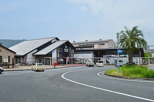 Aki City, Aki Shi13 km NW
Sources & licences
Data last updated: