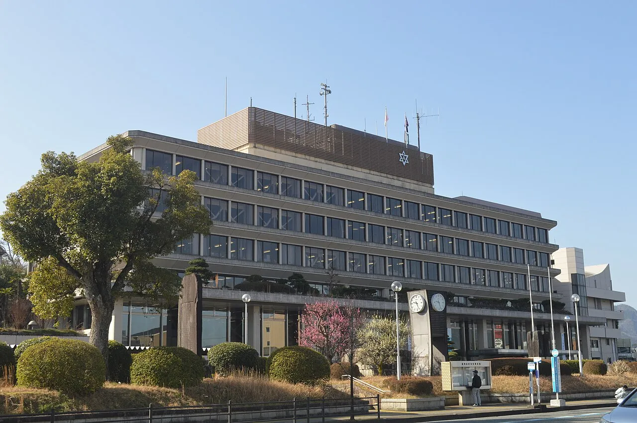
- Population
- 77,306
- 77.3K
- Elevation
- 20 m
- above sea level
- Local time
- UTC+09:00
- Asia/Tokyo · UTC+09:00
- Airports
- TJH Konotori Tajima Airport38 km
- ITM Osaka Itami International Airport65 km
About Fukuchiyama
Fukuchiyama is a city. Location: Fukuchiyama Shi, Kyoto. Population: 77,306. Elevation: 20 m. The best months to visit are May, October. The nearest airport is Konotori Tajima Airport (38 km).
Photos of Fukuchiyama
-

A.O5017 · CC BY-SA 4.0 -

Hotaru2022 · CC BY-SA 4.0 -

Hotaru2022 · CC BY-SA 4.0 -

うぃき野郎 · CC BY-SA 4.0 -

Tgogogo · CC BY-SA 4.0


Travel notes for Fukuchiyama
From Wikivoyage
Fukuchiyama (福知山市) is a city in Kyoto Prefecture, Japan.
Understand+
The local tourist association has a Japanese-only guide site.
Get in+
By plane:
The most convenient airport is probably Osaka Itami Airport, which is about 1 hr 30 min away by car. By public transport, the most convenient option is the highway bus which runs via the airport (see below); those who would rather take the train (unless they wish to make a detour via the Japan Rail Pass office at Osaka Station) should head to Takarazuka (on either the hourly Hankyū Bus service (30 mn, ¥240) or the Monorail and Hankyū Railway via Hotarugaike (30 minutes, ¥420)), from where they can catch the Kōnotori Limited Express (1 hr 20 min, ¥3180).
Kobe Airport is about 1hr 35mins away by car. By public transport, take the Port Liner to Sannomiya, where you can change either to the highway bus (see below) or the JR train to Amagasaki, where you can change to the Kōnotori. This latter option takes about 2 hr 30 min and costs a total of ¥4720.
The nearest international airport is Kansai, which is 2 hr 15 min away by car. By public transport, the quickest option is to take the JR Haruka Limited Express to either Shin-Osaka (for the Kōnotori) or Kyoto (for the Kinosaki or Hashidate). Either option will take about 3 hr 10 min; the total cost is ¥6950 (via Kyoto) or ¥7050 (via Shin-Osaka). If you instead take the Kansai Airport Rapid to Osaka (for the Kōnotori) the price drops to ¥5360.
By train:
Fukuchiyama is fortunate to be served by limited expresses on two JR lines.
The San'in Main Line starts at Kyoto, and continues beyond Fukuchiyama to Toyooka and Tottori. The Kinosaki and Hashidate Limited Expresses run from Kyoto to Fukuchiyama in 1 hr 20 min at a cost of ¥3180. All trains stop at Nijō, for the Tōzai Subway Line.
This is the best train for those coming from places on the Tōkaidō and Hokuriku Lines (such as Tokyo, Nagoya and Kanazawa); from Tokyo, allow 4 hours and ¥16,350 (4 hr 15 min and ¥16,040 if avoiding Nozomi trains).
Some Kinosaki and Hashidate trains are coupled to Maizuru services, which split off at Ayabe and do not serve Fukuchiyama.
Source: Wikivoyage · CC BY-SA 4.0 · abridged
Climate of Fukuchiyama
Best months for sightseeingBest months for sightseeing: May, October.
This month · November
A wet month
Day 16° · Night 7° · Rain 111 mm
Better nearby cities in November
- Kochi · 243 km southwest18°
- Kofu · 315 km east17°
- Fujinomiya · 318 km east18°
- Hottest month
- August (day 32°)
- Coldest month
- January (night 0°)
- Wettest month
- September (210 mm)
- Driest month
- December (95 mm)
Bars: average monthly low and high temperature. Below: precipitation. Monthly averages for 1970–2000 at about 18 km resolution, adjusted for elevation. Highlighted months are mild and relatively dry. Source: WorldClim 2.1 (CC BY 4.0).
Show values as a table
| Month | Jan | Feb | Mar | Apr | May | Jun | Jul | Aug | Sep | Oct | Nov | Dec |
|---|---|---|---|---|---|---|---|---|---|---|---|---|
| Average high (°C) | 8° | 8° | 12° | 19° | 23° | 26° | 31° | 32° | 27° | 22° | 16° | 11° |
| Average low (°C) | 0° | 0° | 2° | 8° | 13° | 18° | 22° | 23° | 19° | 12° | 7° | 2° |
| Precipitation (mm) | 116 | 112 | 120 | 123 | 137 | 190 | 178 | 124 | 210 | 130 | 111 | 95 |
How to get to Fukuchiyama
The nearest airport is Konotori Tajima Airport (TJH), 38 km to the northwest as the crow flies. For international flights: Osaka Itami International Airport (ITM) (65 km). The nearest large city is Sandachō, 47 km to the south.
Airports
- Konotori Tajima Airport (TJH) Toyooka 38 kmnorthwest
- Osaka Itami International Airport (ITM) Osaka 65 kmsoutheast
- Kobe Airport (UKB) Kobe 75 kmsouth
Nearby large cities
- Sandachō Population: 132.9K 47 kmsouth
- Takarazuka Population: 226.4K 60 kmsouth
- Kawanishi Population: 155.2K 60 kmsoutheast
- Ikeda Population: 105K 60 kmsoutheast
- Minoh Population: 136.9K 62 kmsoutheast
Straight-line distances; road distances are longer. Airport data: OurAirports.
Day trips from Fukuchiyama
Within 100 km: 30 historic and cultural sites, 28 natural sites, 21 lakes, rivers and coasts.
0–25 km1 place
- Mount Ooe Mountain 17 kmN
25–60 km17 places
- Mount Rokkō Mountain 59 kmS
- Kamuri Jima Island 51 kmNE
- Yura River River 28 kmNE
- Maruyama River River 45 kmNW
60–100 km61 places
- Lake Suigetsu Lake 77 kmNE
- Sendai River River 88 kmW
- Mimi River River 82 kmNE
- Kita-gawa River 62 kmE
Straight-line distances.
Fukuchiyama and similar cities
Side by side with cities of similar size in the same country: population, elevation and climate.
| Measure | Fukuchiyama | Tsubame | Kunitachi | Nabari |
|---|---|---|---|---|
| Population | 77.3K | 77.4K | 77.1K | 77K |
| Elevation | 20 m | 8 m | 71 m | 192 m |
| Summer day (hottest month) | 32° | 30° | 30° | 30° |
| Winter night (coldest month) | 0° | -2° | -1° | -1° |
| Annual rainfall | 1,646 mm | 2,234 mm | 1,484 mm | 1,777 mm |
| Best months | May, Oct | May–Jun, Sep–Oct | Apr–Jun, Sep–Oct | May–Jun, Sep–Oct |
| Distance | — | 430 km | 394 km | 116 km |
Climate values are 1970–2000 monthly averages; straight-line distance.
Sources & licences
Data last updated: