- Elevation
- 24 m
- above sea level
- Local time
- UTC+09:00
- Asia/Tokyo · UTC+09:00
- Airports
- ITM Osaka Itami International Airport33 km
- UKB Kobe Airport59 km
About Katsura
Katsura is a village. Location: Nishi-kyō Ku, Kyōto. Elevation: 24 m.
Katsura (桂) is a neighborhood in Nishikyo-ku, in the western part of the city of Kyoto, Japan. Predominantly residential in character the district is situated and the western bank of the Katsura River. The neighborhood is renowned as the location of the Katsura Imperial Villa, a historic garden maintained by the Imperial Household Agency. Katsura is accessible from Katsura Station on the Hankyu Kyoto Line by train, and by buses offered by, among other organizations, the Kyoto Municipal Transportation Bureau.
Source: Wikipedia · CC BY-SA 4.0
Photos of Katsura
-
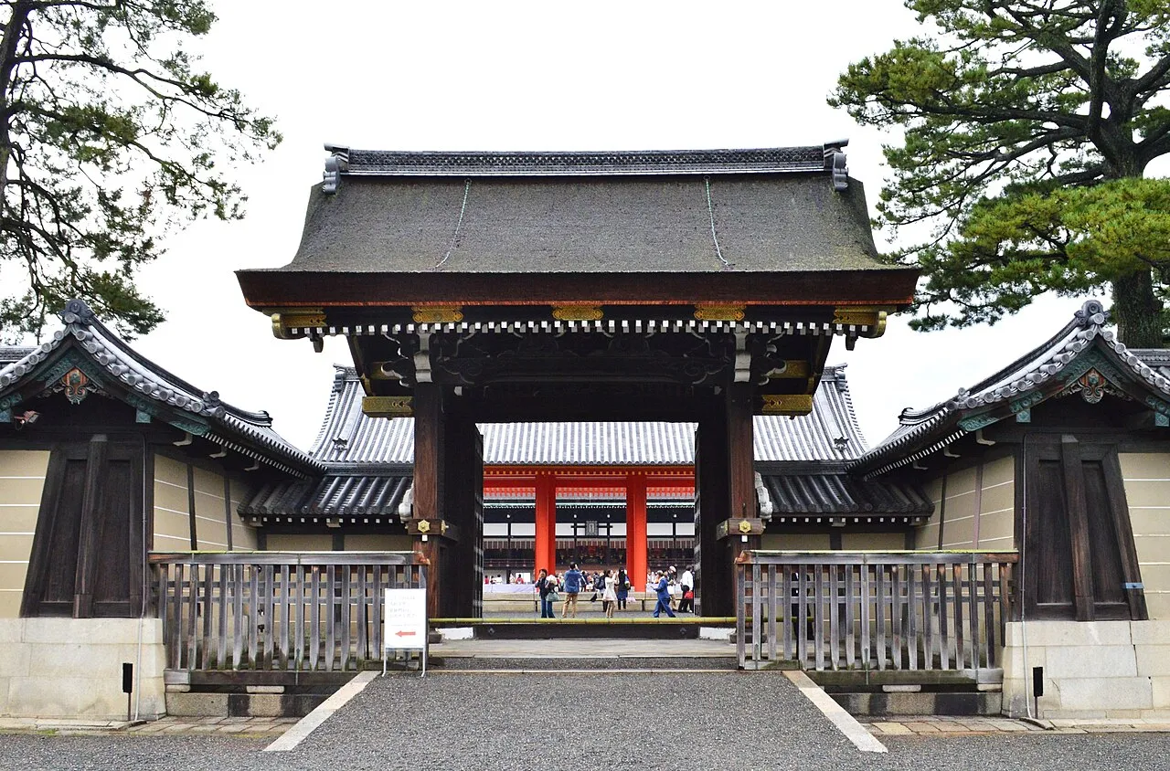
Kyoto Imperial Palace Saigen Jiro · CC0 -

Kamo River Moja · CC BY-SA 3.0 -
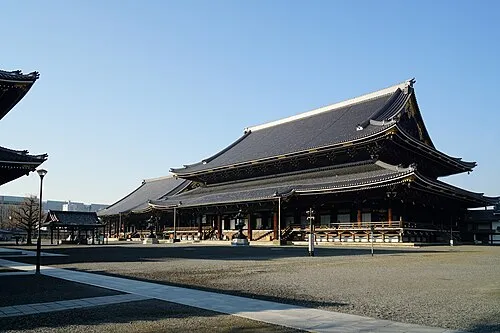
Higashi Hongan Ji 663highland · CC BY-SA 4.0 -
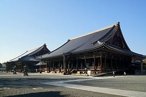
Nishi Hongan Ji 663highland · CC BY-SA 4.0 -
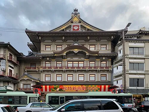
Kyoto Shijo Minami za Chainwit · CC BY-SA 4.0


Climate of Katsura
Best months for sightseeingBest months for sightseeing: May, October.
This month · November
Outside the best season
Day 17° · Night 7° · Rain 73 mm
Better nearby cities in November
- Kochi · 255 km southwest18°
- Fujinomiya · 266 km east18°
- Kofu · 271 km east17°
- Hottest month
- August (day 32°)
- Coldest month
- January (night 1°)
- Wettest month
- June (229 mm)
- Driest month
- December (45 mm)
Bars: average monthly low and high temperature. Below: precipitation. Monthly averages for 1970–2000 at about 18 km resolution, adjusted for elevation. Highlighted months are mild and relatively dry. Source: WorldClim 2.1 (CC BY 4.0).
Show values as a table
| Month | Jan | Feb | Mar | Apr | May | Jun | Jul | Aug | Sep | Oct | Nov | Dec |
|---|---|---|---|---|---|---|---|---|---|---|---|---|
| Average high (°C) | 9° | 9° | 13° | 19° | 24° | 27° | 31° | 32° | 28° | 22° | 17° | 12° |
| Average low (°C) | 1° | 1° | 3° | 9° | 14° | 18° | 23° | 24° | 20° | 13° | 7° | 3° |
| Precipitation (mm) | 56 | 69 | 107 | 142 | 149 | 229 | 211 | 142 | 193 | 117 | 73 | 45 |
How to get to Katsura
The nearest airport is Osaka Itami International Airport (ITM), 33 km to the southwest as the crow flies. The nearest large city is Uji, 14 km to the southeast.
Airports
- Osaka Itami International Airport (ITM) Osaka 33 kmsouthwest
- Kobe Airport (UKB) Kobe 59 kmsouthwest
- Kansai International Airport (KIX) Osaka 75 kmsouthwest
Nearby large cities
- Uji Population: 192.9K 14 kmsoutheast
- Ōtsu Population: 345.1K 15 kmeast
- Takatsuki Population: 354.5K 17 kmsouthwest
- Hirakata Population: 406.3K 20 kmsouth
- Ibaraki Population: 287.7K 22 kmsouthwest
Straight-line distances; road distances are longer. Airport data: OurAirports.
Day trips from Katsura
Within 100 km: 29 historic and cultural sites, 45 natural sites, 26 lakes, rivers and coasts.
0–25 km29 places
- Nanzen-ji Attraction 9 kmE
- Eikan-dō Attraction 9 kmE
- National Museum of Modern Art, Kyoto Museum 8 kmNE
- Mount Kurama Mountain 16 kmN
25–60 km33 places
- Mount Rokkō Mountain 46 kmSW
- Mount Miwa Mountain 52 kmS
- Mount Amanokagu Mountain 55 kmS
- Mount Miminashi Mountain 53 kmS
60–100 km38 places
- Kumozu River River 86 kmSE
- Mount Ōdaigahara Mountain 95 kmS
- Mount Kunimi Mountain 88 kmSE
- Mount Azami Mountain 77 kmSE
Straight-line distances.
Nearby attractions & nature
Everything nearby-
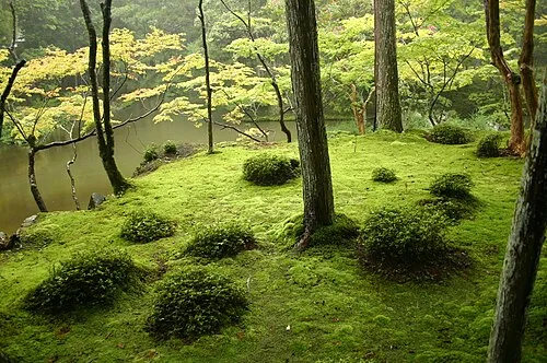 Saiho-ji Attraction, Nishi-kyō Ku2 km W
-
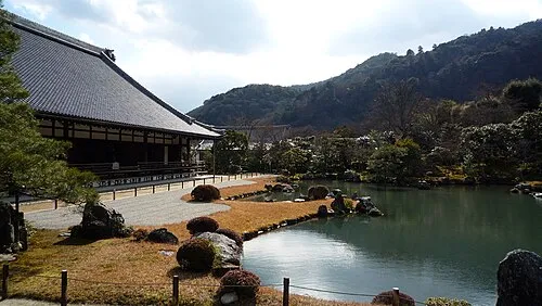 Tenryuji temple Attraction, Ukyō District4.3 km NW
-
Nishi Hongan Ji Attraction, Shimogyo Ku4.5 km E
-
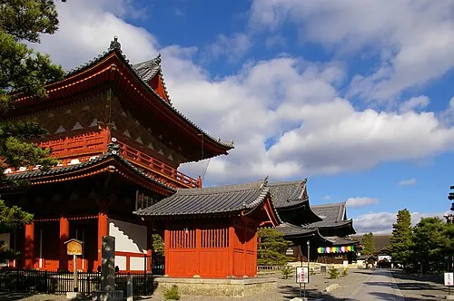 Myōshin-ji Attraction, Ukyō District4.5 km N
-
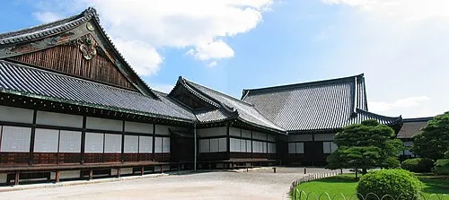 Nijo castle Historic site, Nakagyō Ku5.1 km NE
-
Higashi Hongan Ji Attraction, Shimogyo Ku5.1 km E
Sources & licences
Data last updated: · 2 independent sources