- Elevation
- 61 m
- above sea level
- Local time
- UTC+09:00
- Asia/Tokyo · UTC+09:00
- Airports
- ITM Osaka Itami International Airport44 km
- KIX Kansai International Airport52 km
About Yagichō
Yagichō is a village. Location: Kashihara City, Nara. Elevation: 61 m. The best months to visit are May, October. The nearest airport is Osaka Itami International Airport (44 km). Nearby sights include Mount Miminashi and Mount Amanokagu.
Climate of Yagichō
Best months for sightseeingBest months for sightseeing: May, October.
This month · November
Outside the best season
Day 17° · Night 7° · Rain 75 mm
Better nearby cities in November
- Kochi · 235 km southwest18°
- Fujinomiya · 269 km east18°
- Fuji · 273 km east20°
- Hottest month
- August (day 32°)
- Coldest month
- January (night 1°)
- Wettest month
- June (231 mm)
- Driest month
- December (37 mm)
Bars: average monthly low and high temperature. Below: precipitation. Monthly averages for 1970–2000 at about 18 km resolution, adjusted for elevation. Highlighted months are mild and relatively dry. Source: WorldClim 2.1 (CC BY 4.0).
Show values as a table
| Month | Jan | Feb | Mar | Apr | May | Jun | Jul | Aug | Sep | Oct | Nov | Dec |
|---|---|---|---|---|---|---|---|---|---|---|---|---|
| Average high (°C) | 9° | 10° | 13° | 19° | 24° | 27° | 31° | 32° | 28° | 22° | 17° | 12° |
| Average low (°C) | 1° | 1° | 3° | 9° | 14° | 18° | 23° | 23° | 19° | 13° | 7° | 2° |
| Precipitation (mm) | 45 | 60 | 103 | 142 | 151 | 231 | 185 | 132 | 200 | 126 | 75 | 37 |
How to get to Yagichō
The nearest airport is Osaka Itami International Airport (ITM), 44 km to the northwest as the crow flies. The nearest large city is Kashihara-shi, 1 km to the west.
Airports
- Osaka Itami International Airport (ITM) Osaka 44 kmnorthwest
- Kansai International Airport (KIX) Osaka 52 kmwest
- Kobe Airport (UKB) Kobe 54 kmwest
Nearby large cities
- Kashihara-shi Population: 124.5K 1 kmwest
- Kashiwara Population: 120.9K 7 kmsouthwest
- Tondabayashi Population: 132.9K 18 kmwest
- Nara Population: 367.4K 19 kmnorth
- Habikino Population: 109.5K 20 kmwest
Straight-line distances; road distances are longer. Airport data: OurAirports.
Nearby attractions & nature
Everything nearby-
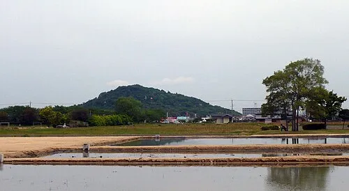 Mount Miminashi Mountain, Kashihara City0.8 km NE
-
 Mount Amanokagu Mountain, Kashihara City2.5 km SE
-
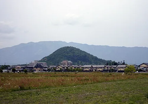 Mount Unebi Mountain, Kashihara City2.4 km SW
-
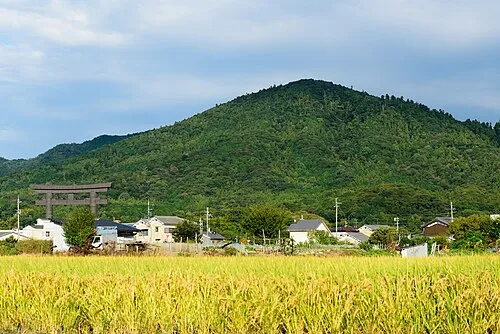 Mount Miwa Mountain, Sakurai-shi6.8 km NE
-
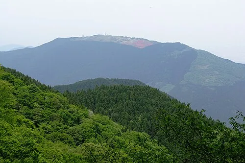 Mount Minami Katsuragi Mountain, Chihaya-akasaka Mura12 km SW
-
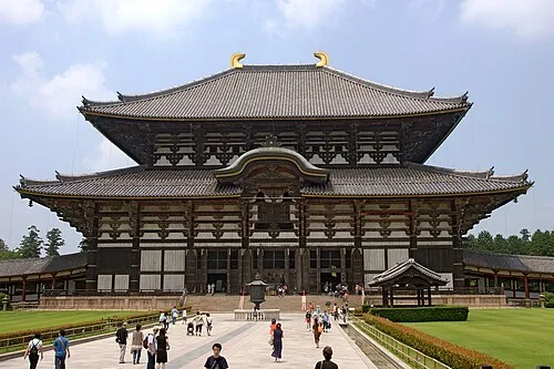 Tōdai-ji Attraction, Nara-shi20 km N
Sources & licences
Data last updated: