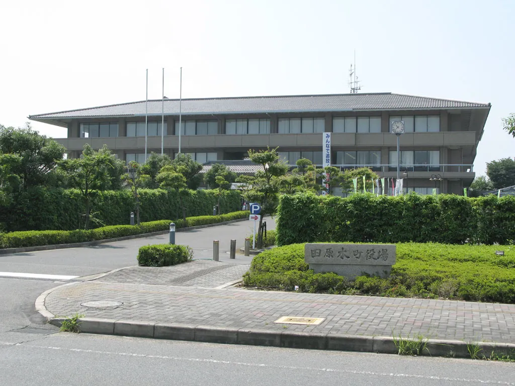
- Population
- 45,818
- 45.8K
- Elevation
- 40 m
- above sea level
- Local time
- UTC+09:00
- Asia/Tokyo · UTC+09:00
- Places inside
- 3
- listed under Shiki-gun
- Airports
- ITM Osaka Itami International Airport40 km
- KIX Kansai International Airport52 km
About Shiki-gun
Shiki-gun is a district. Location: Nara, Japan. Population: 45,818.
Shiki (磯城郡, Shiki-gun) is a district located in Nara Prefecture, Japan. As of 2003, the district has an estimated population of 50,009 and a density of 1,607.49 persons per km2. The total area is 31.11 km2. In ancient times, Sakurai City was also located in this area, and the palace of the ancient emperor was located there.
Read more on Wikipedia Text: Wikipedia contributors · CC BY-SA 4.0 · shortened
At a glance
- Built
- 1897
- Area
- 31.1 km²
Source: Wikidata
Climate of Shiki-gun
Best months for sightseeingBest months for sightseeing: May, October.
Bars: average monthly low and high temperature. Below: precipitation. Monthly averages for 1970–2000 at about 18 km resolution, adjusted for elevation. Highlighted months are mild and relatively dry. Source: WorldClim 2.1 (CC BY 4.0).
Show values as a table
| Month | Jan | Feb | Mar | Apr | May | Jun | Jul | Aug | Sep | Oct | Nov | Dec |
|---|---|---|---|---|---|---|---|---|---|---|---|---|
| Average high (°C) | 9° | 10° | 13° | 20° | 24° | 27° | 31° | 32° | 28° | 23° | 17° | 12° |
| Average low (°C) | 1° | 1° | 3° | 9° | 14° | 19° | 23° | 23° | 20° | 13° | 7° | 2° |
| Precipitation (mm) | 45 | 60 | 103 | 142 | 151 | 231 | 185 | 132 | 200 | 126 | 75 | 37 |
Airports nearest to Shiki-gun
- Osaka Itami International Airport (ITM) Osaka 40 km
- Kansai International Airport (KIX) Osaka 52 km
- Kobe Airport (UKB) Kobe 52 km
Straight-line distance; airports with scheduled flights only. Source: OurAirports (public domain).
Places in Shiki-gun
3 placesBar: population relative to the most populous place in this list.
Nearby attractions & nature
Everything nearby-
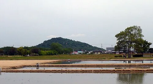 Mount Miminashi Mountain, Kashihara City5.8 km S
-
 Mount Amanokagu Mountain, Kashihara City8.3 km S
-
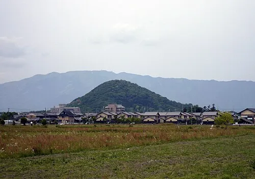 Mount Unebi Mountain, Kashihara City8 km S
-
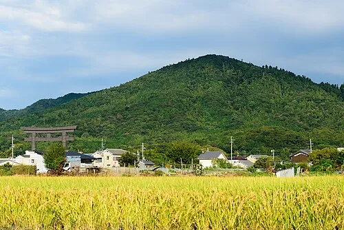 Mount Miwa Mountain, Sakurai-shi8.3 km SE
-
Matsuo San Mountain, Ikaruga-chō9.6 km NW
-
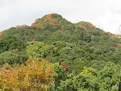 Mount Shigi Mountain, Heguri-chō12 km NW
Sources & licences
Data last updated: · 2 independent sources