Ureshino
Local name: 嬉野市
Located in Ureshino Shi, Saga Prefecture Coordinates: 33°08′07″ N 130°03′26″ E
- Population
- 28,984
- 29K
- Elevation
- 9 m
- above sea level
- Local time
- UTC+09:00
- Asia/Tokyo · UTC+09:00
- Airports
- HSG Kyushu Saga International Airport23 km
- NGS Nagasaki Airport28 km
About Ureshino
Ureshino is a city. Location: Ureshino Shi, Saga Prefecture. Population: 28,984. Elevation: 9 m.
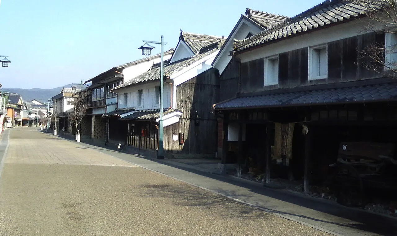
Ureshino (嬉野市, Ureshino-shi; Japanese pronunciation: [ɯ̈̀.ɾé̞.ɕí.nó̞(.ɕì)]) is a city located in the western part of Saga Prefecture on the island of Kyushu, Japan. As of 31 May 2024, the city had an estimated population of 24,529 in 10075 households, and a population density of 190 persons per km2. The total area of the city is 126.41 km2 (48.81 sq mi).
Source: Wikipedia · CC BY-SA 4.0
Photos of Ureshino
-

Peka · CC BY-SA 4.0 -

Peka · CC BY-SA 4.0 -

ハポニアラ · CC BY 4.0 -

Peka · CC BY-SA 4.0 -

Peka · CC BY-SA 4.0


Travel notes for Ureshino
From Wikivoyage
Ureshino (嬉野市) is a city known for hot springs in Saga Prefecture, Japan.
Understand+
Tourist information sites:
The city government's official site has a Japanese-only tourism section with integrated Google Translate.
The Onsen area's tourist association has a Japanese-only guide site with integrated Google Translate. By the way, the Onsen-looking kid on the banner and the favicon of the website is the city's official mascot, Yutsurakun (ゆっつらくん). You will see him in Ureshino.
Get in+
1 Ureshino Onsen Station (嬉野温泉駅). This is a stop on the Nishi-Kyushu Shinkansen. It is an isolated station with no connections to any JR Lines. By bus, it can be reached from Takeo-Onsen Station in Takeo or Hizen-Kashima Station in Kashima. Some Fukuoka-Nagasaki buses also stop here. (updated Jul 2024)
Source: Wikivoyage · CC BY-SA 4.0 · abridged
Places bordering Ureshino
- Takeo
- Kashima
- Shiroishi Chō
- Ōmura
- Higashisonogi Chō
- Kawatana
- Hasami Chō
Population of Ureshino over time
| 2010 | 28,984 | |
|---|---|---|
| 2015 | 27,336 | |
| 2021 | 25,593 |
Censuses and official estimates; source: Wikidata.
Climate of Ureshino
Best months for sightseeingBest months for sightseeing: May, October.
This month · November
Outside the best season
Day 17° · Night 9° · Rain 79 mm
Better nearby cities in November
- Beppu · 135 km east17°
- Ōita · 144 km east18°
- Nobeoka · 162 km east18°
- Hottest month
- August (day 31°)
- Coldest month
- January (night 2°)
- Wettest month
- July (353 mm)
- Driest month
- December (62 mm)
Bars: average monthly low and high temperature. Below: precipitation. Monthly averages for 1970–2000 at about 18 km resolution, adjusted for elevation. Highlighted months are mild and relatively dry. Source: WorldClim 2.1 (CC BY 4.0).
Show values as a table
| Month | Jan | Feb | Mar | Apr | May | Jun | Jul | Aug | Sep | Oct | Nov | Dec |
|---|---|---|---|---|---|---|---|---|---|---|---|---|
| Average high (°C) | 9° | 10° | 14° | 19° | 23° | 26° | 30° | 31° | 27° | 23° | 17° | 12° |
| Average low (°C) | 2° | 3° | 6° | 11° | 15° | 19° | 24° | 24° | 21° | 15° | 9° | 4° |
| Precipitation (mm) | 68 | 87 | 130 | 173 | 188 | 347 | 353 | 204 | 220 | 103 | 79 | 62 |
How to get to Ureshino
The nearest airport is Kyushu Saga International Airport (HSG), 23 km to the east as the crow flies. The nearest large city is Saga, 25 km to the northeast.
Airports
- Kyushu Saga International Airport (HSG) Saga 23 kmeast
- Nagasaki Airport (NGS) Nagasaki 28 kmsouthwest
- Fukuoka Airport (FUK) Fukuoka 62 kmnortheast
Nearby large cities
- Saga Population: 233.3K 25 kmnortheast
- Sasebo Population: 243.2K 31 kmwest
- Isahaya Population: 135.5K 33 kmsouth
- Karatsu Population: 117.7K 35 kmnorth
- Omuta Population: 132K 38 kmeast
Straight-line distances; road distances are longer. Airport data: OurAirports.
Day trips from Ureshino
Within 100 km: 18 historic and cultural sites, 14 natural sites, 20 lakes, rivers and coasts.
25–60 km29 places
- Hario Jima Island 27 kmW
- Mount Unzen Mountain 48 kmSE
- Iō Jima Island 55 kmSW
- Shimabara-hantō Natural site 46 kmSE
60–100 km23 places
- Shimoshima Island Island 89 kmS
- Iki Island Island 79 kmNW
- Hi Kawa River 80 kmSE
- Ōyano Jima Island 71 kmSE
Straight-line distances.
Sources & licences
Data last updated: · 2 independent sources