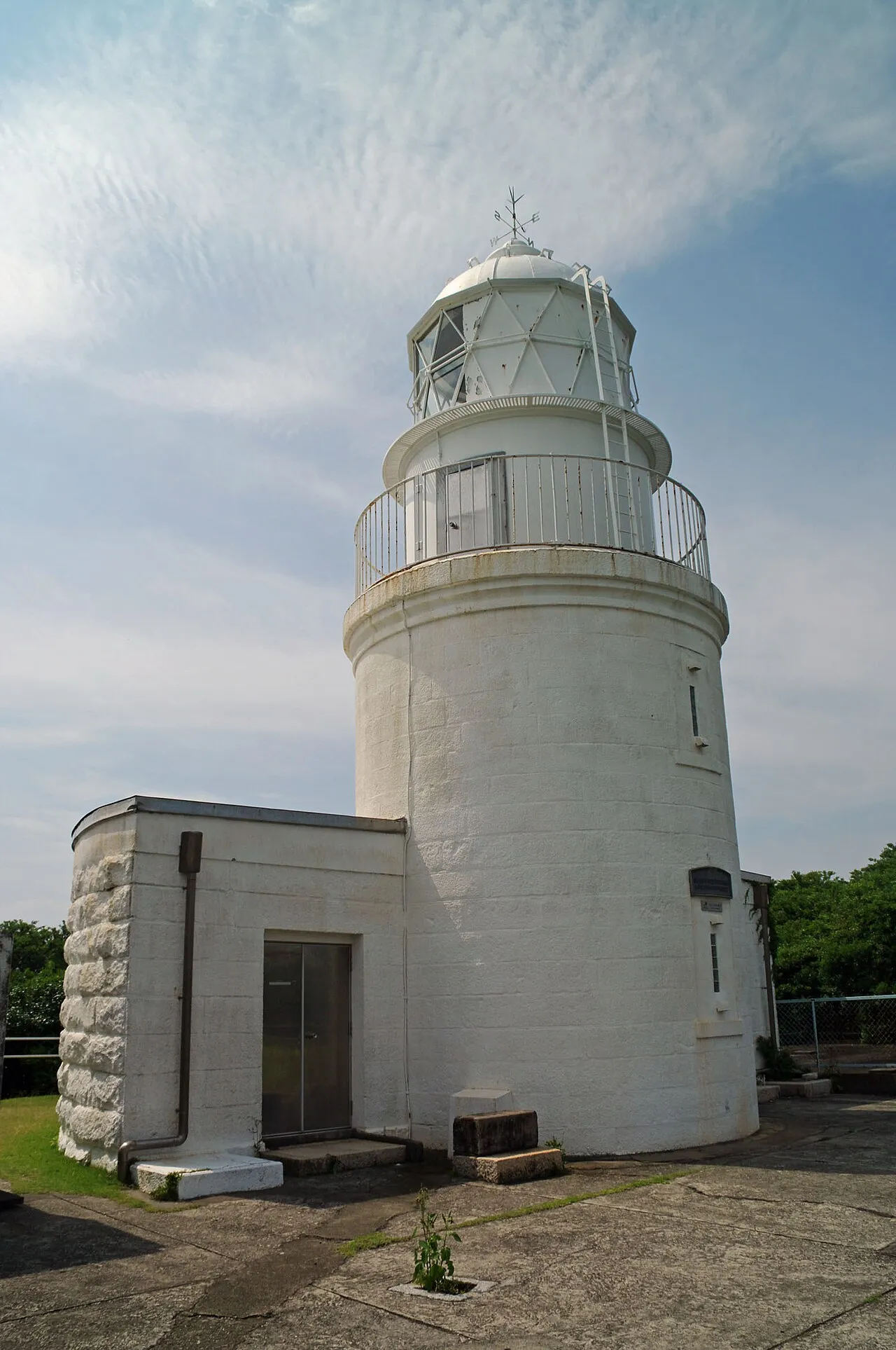
Tomogashima Lighthouse
Located in Wakayama Shi, Wakayama Coordinates: 34°16′51″ N 135°00′02″ E
- Local time
- UTC+09:00
- Asia/Tokyo · UTC+09:00
- Elevation
- 28 m
- above sea level
- Airports
- KIX Kansai International Airport28 km
- TKS Tokushima Awaodori Airport / JMSDF Tokushima Air Base40 km
About Tomogashima Lighthouse
Tomogashima Lighthouse is a landmark. Location: Wakayama Shi, Wakayama.
Tomogashima Lighthouse (友ヶ島灯台, tomogashima tōdai) is a lighthouse on the island of Tomogashima in Wakayama, Wakayama, Japan.
Source: Wikipedia · CC BY-SA 4.0
At a glance
- Built
- 1872
- Architect
- Richard Henry Brunton
- Heritage designation
- Registered Tangible Cultural Property of Japan
Source: Wikidata
Climate of Tomogashima Lighthouse
Best months for sightseeingBest months for sightseeing: May–June, October.
This month · November
Outside the best season
Day 17° · Night 9° · Rain 79 mm
Better nearby cities in November
- Kochi · 158 km southwest18°
- Ōita · 335 km west18°
- Beppu · 342 km west17°
- Hottest month
- August (day 31°)
- Coldest month
- February (night 2°)
- Wettest month
- June (218 mm)
- Driest month
- December (39 mm)
Bars: average monthly low and high temperature. Below: precipitation. Monthly averages for 1970–2000 at about 18 km resolution, adjusted for elevation. Highlighted months are mild and relatively dry. Source: WorldClim 2.1 (CC BY 4.0).
Show values as a table
| Month | Jan | Feb | Mar | Apr | May | Jun | Jul | Aug | Sep | Oct | Nov | Dec |
|---|---|---|---|---|---|---|---|---|---|---|---|---|
| Average high (°C) | 9° | 9° | 13° | 19° | 23° | 26° | 30° | 31° | 27° | 22° | 17° | 12° |
| Average low (°C) | 2° | 2° | 5° | 10° | 15° | 19° | 23° | 24° | 20° | 15° | 9° | 4° |
| Precipitation (mm) | 48 | 58 | 93 | 136 | 142 | 218 | 145 | 107 | 207 | 119 | 79 | 39 |
How to get to Tomogashima Lighthouse
The nearest airport is Kansai International Airport (KIX), 28 km to the northeast as the crow flies. The nearest large city is Minato, 16 km to the southeast.
Airports
- Kansai International Airport (KIX) Osaka 28 kmnortheast
- Tokushima Awaodori Airport / JMSDF Tokushima Air Base (TKS) Tokushima 40 kmsouthwest
- Kobe Airport (UKB) Kobe 44 kmnortheast
Nearby large cities
- Minato Population: 375.3K 16 kmsoutheast
- Wakayama Population: 356.7K 16 kmeast
- Izumisano Population: 100.1K 33 kmnortheast
- Kishiwada Population: 205.6K 39 kmnortheast
- Akashi Population: 303.6K 42 kmnorth
Straight-line distances; road distances are longer. Airport data: OurAirports.
Nearby attractions & nature
Everything nearby-
 Tomoga Shima Island, Wakayama2.6 km NE
-
 Awaji Island Island, Hyōgo20 km NW
-
Sen Zan Mountain, Sumoto Shi17 km NW
-
Kinokawa River River, Wakayama14 km SE
-
Mount Maya Mountain, Awaji Shi23 km NW
Nearest towns and villages
-
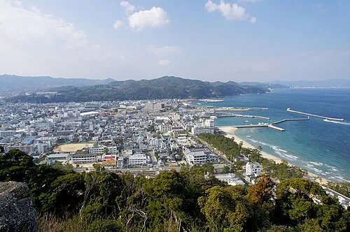 Sumoto City, Sumoto Shi12 km NW
-
Minato City, Wakayama Shi16 km SE
-
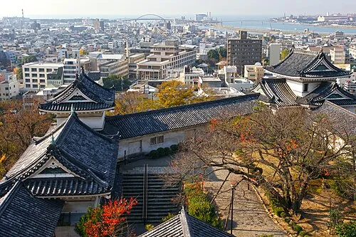 Wakayama City, Wakayama Shi16 km E
-
Misaki Chō Municipality, Sennan-gun14 km E
Sources & licences
Data last updated: · 2 independent sources