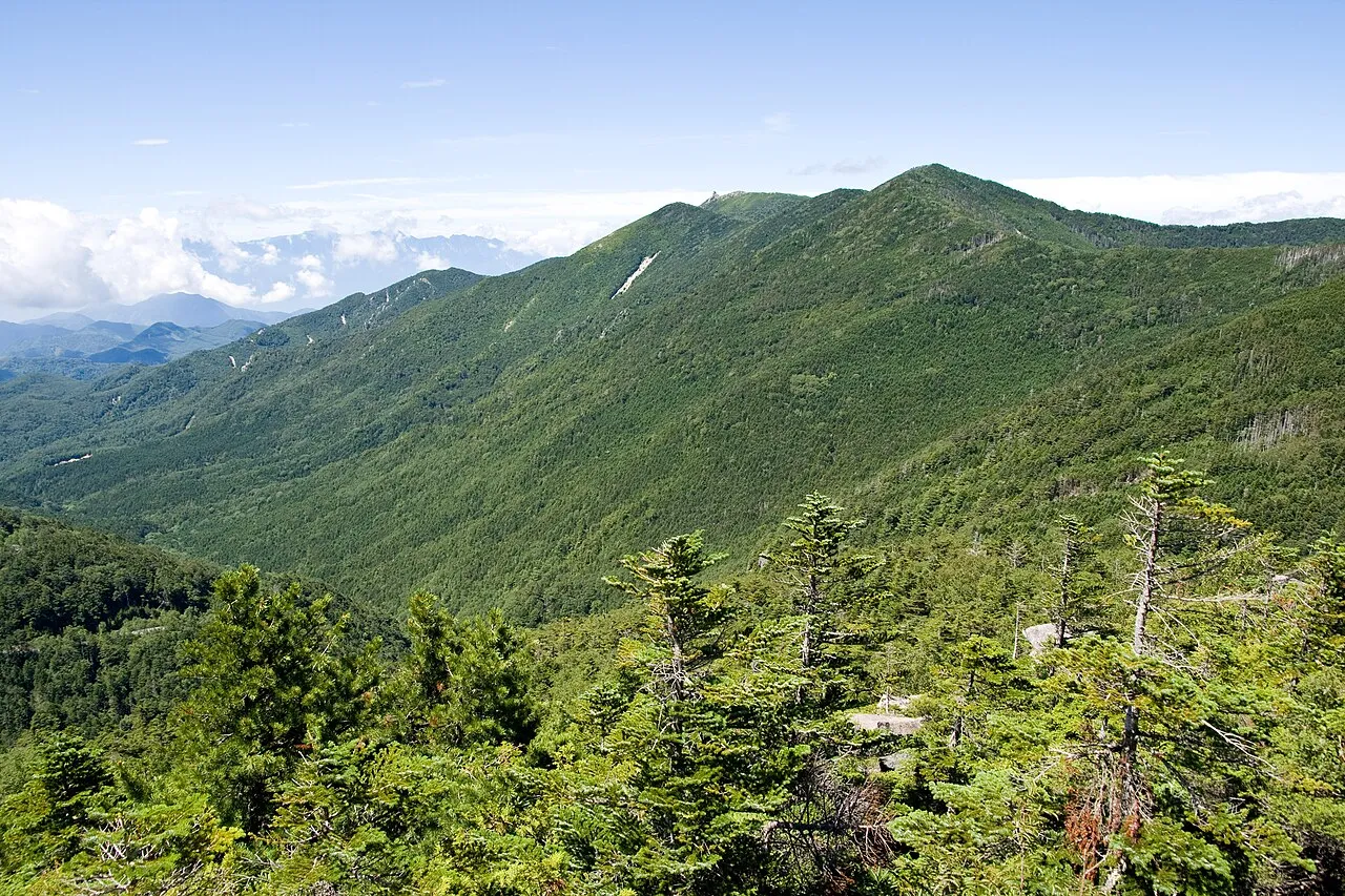
- Elevation
- 2,208 m
- above sea level
- Local time
- UTC+09:00
- Asia/Tokyo · UTC+09:00
- Airports
- MMJ Shinshu-Matsumoto Airport71 km
- HND Tokyo Haneda International Airport112 km
About Kimpō-zan
Kimpō-zan is a mountain. Location: Hokuto Shi, Yamanashi. Elevation: 2,208 m.
Mount Kinpu (金峰山, Kinpu-san), or Mount Kinpō (金峰山, Kinpō-san) is a mountain and the main peak in the Okuchichibu Range in Kantō Mountains. It is located in Chichibu Tama Kai National Park on the boundary of Nagano Prefecture and Yamanashi Prefecture, Japan. It has the sacred Gojoiwa rock, a Shinto holy site, on its top and is one of the 100 Famous Japanese Mountains. At 2599 m tall, it is the second highest peak of the Okuchichibu Mountains.
Source: Wikipedia · CC BY-SA 4.0
Photos of Kimpō-zan
-

Koda6029 · CC BY-SA 4.0 -

Σ64 · CC BY-SA 3.0


Climate of Kimpō-zan
Best months for sightseeingBest months for sightseeing: August.
This month · November
A cold month
Day 5° · Night -6° · Rain 72 mm
Better nearby cities in November
- Kofu · 23 km south17°
- Fujinomiya · 72 km south18°
- Fuji · 78 km south20°
- Hottest month
- August (day 19°)
- Coldest month
- January (night -14°)
- Wettest month
- August (262 mm)
- Driest month
- December (32 mm)
Bars: average monthly low and high temperature. Below: precipitation. Monthly averages for 1970–2000 at about 18 km resolution, adjusted for elevation. Highlighted months are mild and relatively dry. Source: WorldClim 2.1 (CC BY 4.0).
Show values as a table
| Month | Jan | Feb | Mar | Apr | May | Jun | Jul | Aug | Sep | Oct | Nov | Dec |
|---|---|---|---|---|---|---|---|---|---|---|---|---|
| Average high (°C) | -4° | -4° | 0° | 7° | 12° | 14° | 18° | 19° | 15° | 10° | 5° | 0° |
| Average low (°C) | -14° | -14° | -11° | -5° | 0° | 5° | 9° | 10° | 7° | 0° | -6° | -11° |
| Precipitation (mm) | 35 | 54 | 91 | 126 | 147 | 224 | 217 | 262 | 248 | 147 | 72 | 32 |
Other places to visit in this season: August
How to get to Kimpō-zan
The nearest airport is Shinshu-Matsumoto Airport (MMJ), 71 km to the northwest as the crow flies. For international flights: Tokyo Haneda International Airport (HND) (112 km). The nearest large city is Kofu, 23 km to the south.
Airports
- Shinshu-Matsumoto Airport (MMJ) Matsumoto 71 kmnorthwest
- Tokyo Haneda International Airport (HND) Tokyo 112 kmeast
- Mount Fuji Shizuoka Airport (FSZ) Makinohara / Shimada 125 kmsouth
Nearby large cities
- Kofu Population: 189.6K 23 kmsouth
- Ōme Population: 133.5K 57 kmeast
- Takasaki Population: 373K 63 kmnortheast
- Ueda Population: 157.5K 67 kmnorthwest
- Iruma Population: 147.2K 68 kmeast
Straight-line distances; road distances are longer. Airport data: OurAirports.
Day trips from Kimpō-zan
Within 100 km: 9 historic and cultural sites, 60 natural sites, 25 lakes, rivers and coasts.
0–25 km4 places
- Yatsugatake Mountains Mountain 25 kmNW
- Chichibu Tama Kai National Park Natural site 20 kmE
- Mount Ogura Mountain 19 kmN
- Mount Daibosatsu Mountain 25 kmSE
25–60 km30 places
- Honshu Island 58 kmW
- Lake Shoji Lake 42 kmS
- Mount Senjō Mountain 42 kmSW
- Mount Nokogiri Mountain 38 kmW
60–100 km60 places
- Mount Echizen-dake Mountain 72 kmS
- Chausu-yama Mountain 72 kmW
- Mount Sannosawa Mountain 75 kmW
- Fuji River River 83 kmS
Straight-line distances.
Nearest towns and villages
-
Kawakami Mura Municipality, Minamisaku-gun8.3 km N
-
Hokuto City, Hokuto Shi20 km W
-
Minamiaiki Mura Municipality, Minamisaku-gun17 km N
-
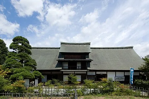 Enzan Town, Kōshū Shi21 km SE
-
Minamimaki Mura Municipality, Minamisaku-gun19 km NW
-
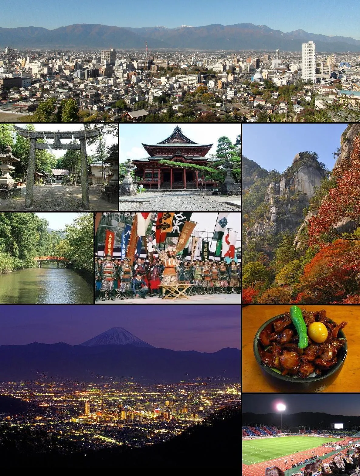 Kofu City, Kōfu-shi23 km S
Nearby attractions & nature
Everything nearby-
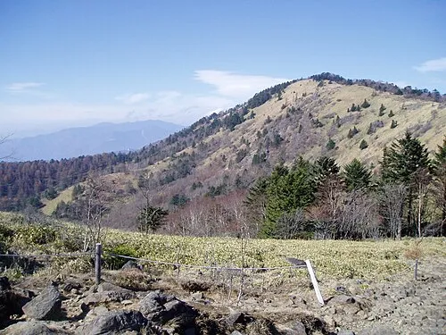 Mount Daibosatsu Mountain, Tabayama Village25 km SE
-
Yatsugatake Mountains Mountain, Japan25 km NW
-
Mount Ogura Mountain, Kitaaiki Mura19 km N
-
Chichibu Tama Kai National Park Natural site, Kōshū Shi20 km E
Sources & licences
Data last updated: · 2 independent sources