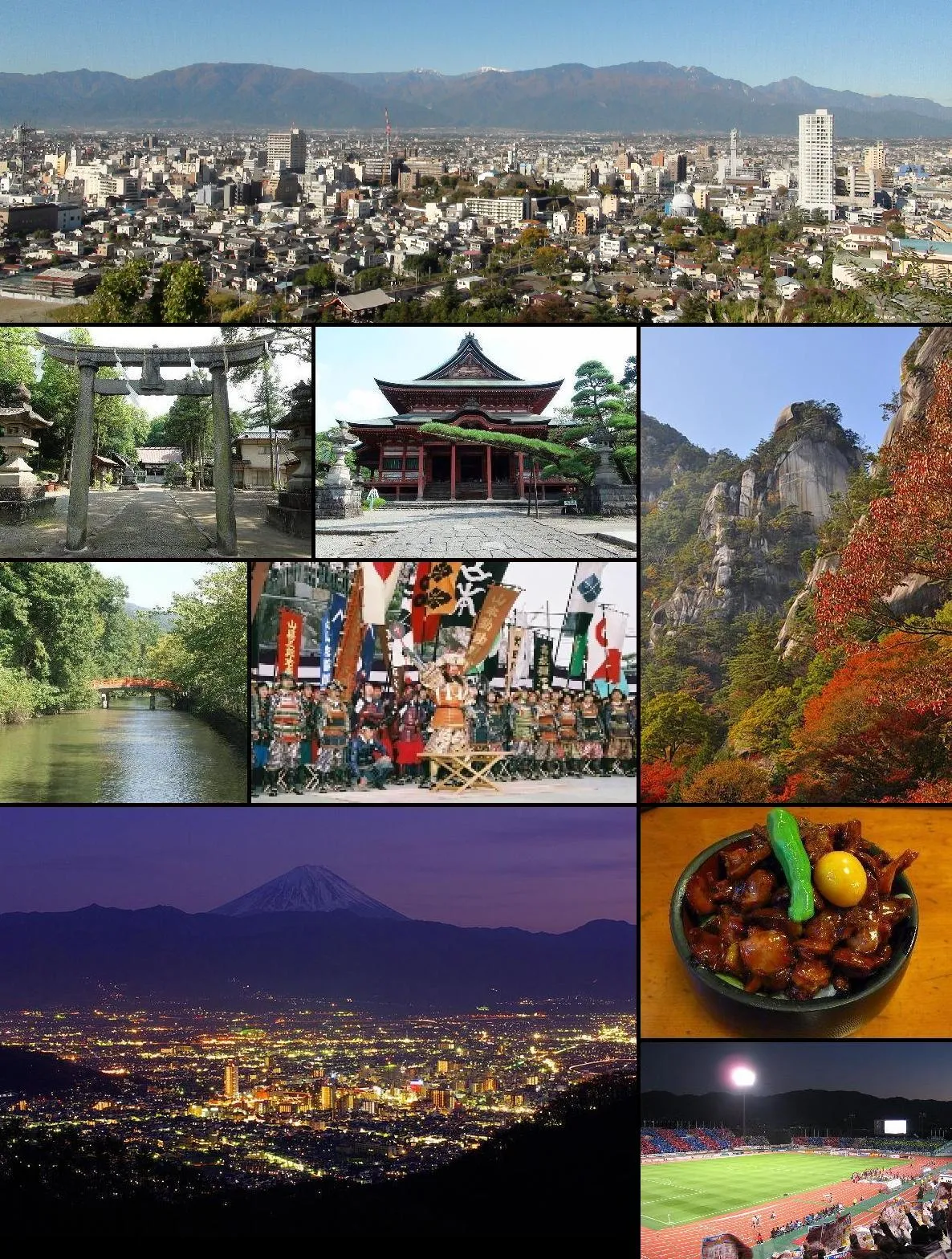
- Population
- 189,591
- 189.6K
- Elevation
- 275 m
- above sea level
- Local time
- UTC+09:00
- Asia/Tokyo · UTC+09:00
- Airports
- MMJ Shinshu-Matsumoto Airport80 km
- FSZ Mount Fuji Shizuoka Airport103 km
About Kofu
Kofu is a city. Location: Kōfu-shi, Yamanashi. Population: 189,591. Elevation: 275 m. The best months to visit are April–June, October–November. The nearest airport is Shinshu-Matsumoto Airport (80 km). Nearby sights include Lake Shoji and Saiko Lake.
Photos of Kofu
-

Yoshio Kohara · CC BY 3.0 -

Syced · CC0 -

浅野ます? · CC BY 3.0 -

浅野ます? · CC BY 3.0 -
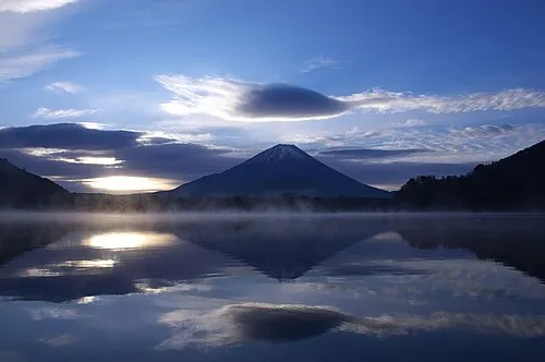
Lake Shoji hogeasdf · CC BY 2.0


Travel notes for Kofu
From Wikivoyage
This page describes a city in Yamanashi. For the township in Tottori, see Kofu (Tottori) (江府).
Kōfu (甲府市 Kōfu-shi) is the capital of Yamanashi Prefecture.
Understand+
Kofu lies at the center of the bowl-shaped prefecture, with some of Japan's most famous mountains rising along the horizon. On a clear day, a visitor can see Mt. Fuji to the south, Japan's second highest peak Kitadake and the majestic Minami Alps to the west, and the eight fractured peaks of Yatsugatake to the north.
Tourist information site:
The local tourist association has a bilingual guide site .
Get in+
By train:
Coming from Tokyo on the Chuo Line, there are few express trains from Shinjuku to Kofu that continue on to Matsumoto. It is possible to take the journey by local trains at half the price and an extra hour of traveling. To do so, transfer at JR Takao. The Chuo Line takes Suica cards.
The Minobu Line runs from Kofu, through Minobu, to Fuji in Shizuoka. This is a quaint railway line, and it is single tracked in most places. Take a ticket from the machine when you board the train, and pay the driver when you get off. The Minobu Line acts as a local line in Kofu and has many stations within the city.
By bus:
There are highway buses between Kofu and Shinjuku which on paper take two hours; this is shorter than the local train and challenges the express. In practice, however, traffic delays can lengthen this journey to over three hours. The advantage of the bus is that it is very cheap, costing only ¥2000 one-way which is around half of the price of the express train.
Source: Wikivoyage · CC BY-SA 4.0 · abridged
Climate of Kofu
Best months for sightseeingBest months for sightseeing: April–June, October–November.
This month · November
A good month to visit
Day 17° · Night 6° · Rain 63 mm
- Hottest month
- August (day 31°)
- Coldest month
- January (night -2°)
- Wettest month
- September (210 mm)
- Driest month
- December (29 mm)
Bars: average monthly low and high temperature. Below: precipitation. Monthly averages for 1970–2000 at about 18 km resolution, adjusted for elevation. Highlighted months are mild and relatively dry. Source: WorldClim 2.1 (CC BY 4.0).
Show values as a table
| Month | Jan | Feb | Mar | Apr | May | Jun | Jul | Aug | Sep | Oct | Nov | Dec |
|---|---|---|---|---|---|---|---|---|---|---|---|---|
| Average high (°C) | 9° | 10° | 13° | 19° | 24° | 26° | 30° | 31° | 27° | 21° | 17° | 12° |
| Average low (°C) | -2° | -2° | 2° | 8° | 12° | 17° | 21° | 22° | 18° | 12° | 6° | 1° |
| Precipitation (mm) | 33 | 49 | 84 | 108 | 122 | 192 | 170 | 207 | 210 | 134 | 63 | 29 |
Other places to visit in this season: April May June October November
How to get to Kofu
The nearest airport is Shinshu-Matsumoto Airport (MMJ), 80 km to the northwest as the crow flies. For international flights: Mount Fuji Shizuoka Airport (FSZ) (103 km). The nearest large city is Fujinomiya, 50 km to the south.
Airports
- Shinshu-Matsumoto Airport (MMJ) Matsumoto 80 kmnorthwest
- Mount Fuji Shizuoka Airport (FSZ) Makinohara / Shimada 103 kmsouth
- Tokyo Haneda International Airport (HND) Tokyo 111 kmeast
Nearby large cities
- Fujinomiya Population: 132.5K 50 kmsouth
- Fuji Population: 245.4K 56 kmsouth
- Ōme Population: 133.5K 63 kmeast
- Hadano Population: 163.8K 68 kmsoutheast
- Hachiōji Population: 579.4K 69 kmeast
Straight-line distances; road distances are longer. Airport data: OurAirports.
Day trips from Kofu
Within 100 km: 18 historic and cultural sites, 58 natural sites, 29 lakes, rivers and coasts.
0–25 km6 places
- Lake Shoji Lake 20 kmS
- Kimpō-zan Mountain 23 kmN
- Lake Motosu Lake 23 kmS
- Fuefuki River River 15 kmSW
25–60 km38 places
- Mount Senjō Mountain 35 kmW
- Mount Nokogiri Mountain 35 kmW
- Mount Aino Mountain 31 kmW
- Mount Echizen-dake Mountain 52 kmSE
60–100 km61 places
- Honshu Island 63 kmNW
- Enoshima Island 92 kmSE
- Hatsu-shima Island 89 kmSE
- Chausu-yama Mountain 70 kmW
Straight-line distances.
Kofu and similar cities
Side by side with cities of similar size in the same country: population, elevation and climate.
| Measure | Kofu | Numazu | Jōetsu | Odawara |
|---|---|---|---|---|
| Population | 189.6K | 189.5K | 189.4K | 188.9K |
| Elevation | 275 m | 8 m | 10 m | 15 m |
| Summer day (hottest month) | 31° | 31° | 31° | 31° |
| Winter night (coldest month) | -2° | 1° | -2° | 2° |
| Annual rainfall | 1,401 mm | 1,826 mm | 2,305 mm | 1,740 mm |
| Best months | Apr–Jun, Oct–Nov | Apr–Jun, Oct–Nov | May–Jun, Oct | Apr–Jun, Oct–Nov |
| Distance | — | 69 km | 167 km | 71 km |
Climate values are 1970–2000 monthly averages; straight-line distance.
Nearby attractions & nature
Everything nearby-
Lake Shoji Lake, Fuji-yoshida Shi20 km S
-
Saiko Lake Lake, Fuji-yoshida Shi22 km SE
-
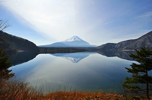 Lake Motosu Lake, Fuji-yoshida Shi23 km S
-
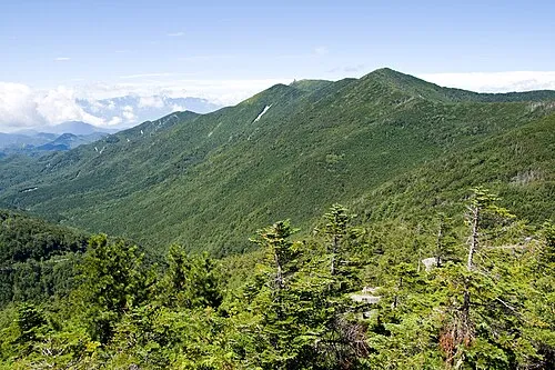 Kimpō-zan Mountain, Hokuto Shi23 km N
-
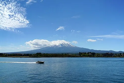 Lake Kawaguchi Lake, Japan24 km SE
-
Fuefuki River River, Japan15 km SW
Sources & licences
Data last updated: