- Elevation
- 646 m
- above sea level
- Local time
- UTC+01:00
- Europe/Skopje · UTC+01:00
- Airports
- OHD Ohrid St. Paul the Apostle Airport53 km
- KZI Kozani National Airport Filippos94 km
About Ušici
Ušici is a mountain. Location: Bitola, North Macedonia. Elevation: 646 m. The best months to visit are May–June, September. The nearest airport is Ohrid St. Paul the Apostle Airport (53 km). Nearby sights include Dragor and Baba.
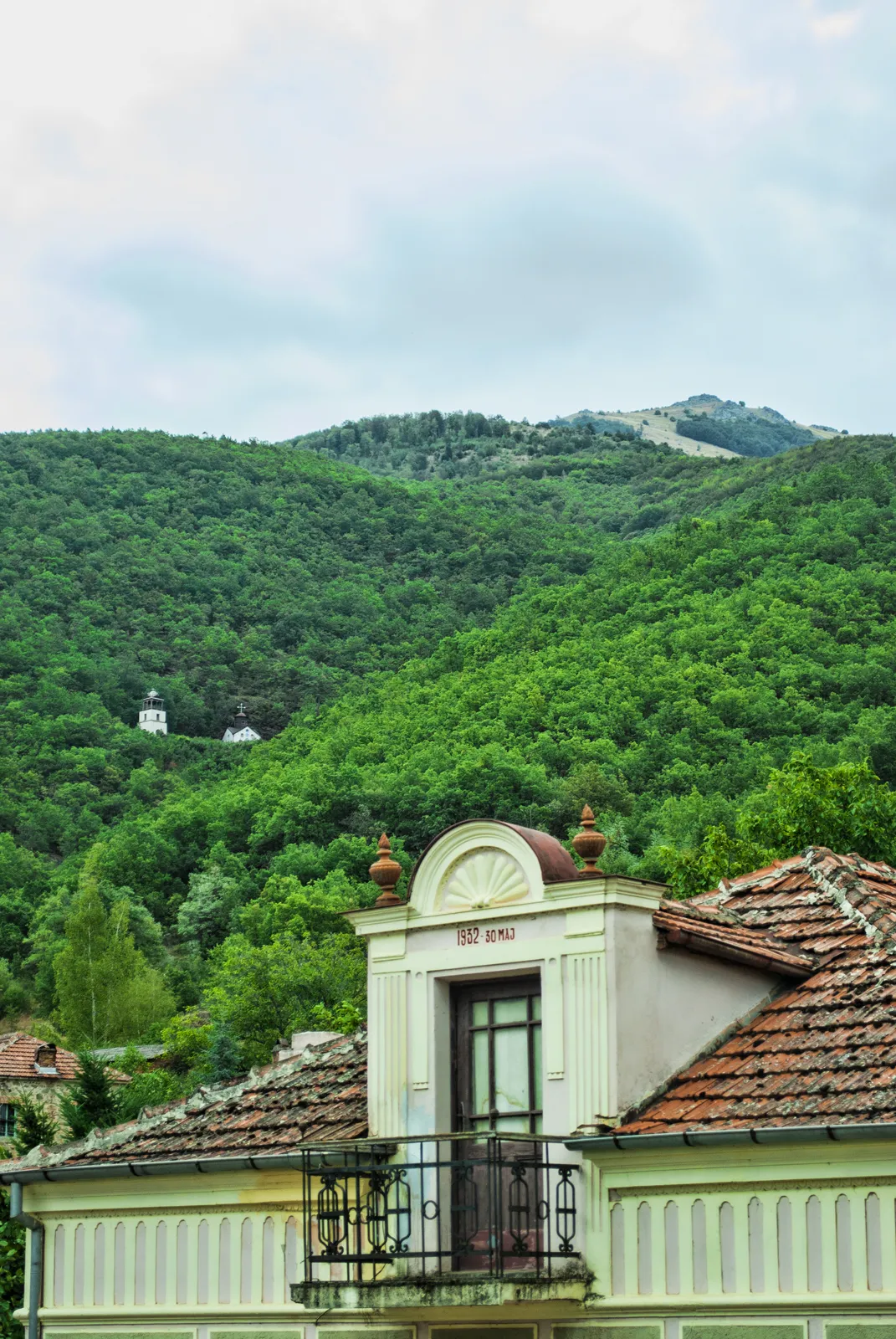
Photos of Ušici
-

Dragor No machine-readable author provided. Guitardemon666 assumed · Public domain

Climate of Ušici
Best months for sightseeingBest months for sightseeing: May–June, September.
This month · November
A cold month
Day 11° · Night 0° · Rain 70 mm
- Hottest month
- July (day 29°)
- Coldest month
- January (night -5°)
- Wettest month
- November (70 mm)
- Driest month
- August (32 mm)
Bars: average monthly low and high temperature. Below: precipitation. Monthly averages for 1970–2000 at about 18 km resolution, adjusted for elevation. Highlighted months are mild and relatively dry. Source: WorldClim 2.1 (CC BY 4.0).
Show values as a table
| Month | Jan | Feb | Mar | Apr | May | Jun | Jul | Aug | Sep | Oct | Nov | Dec |
|---|---|---|---|---|---|---|---|---|---|---|---|---|
| Average high (°C) | 3° | 6° | 11° | 16° | 22° | 27° | 29° | 29° | 25° | 18° | 11° | 5° |
| Average low (°C) | -5° | -3° | 1° | 5° | 9° | 12° | 14° | 13° | 10° | 5° | 0° | -3° |
| Precipitation (mm) | 46 | 45 | 47 | 44 | 56 | 41 | 37 | 32 | 36 | 58 | 70 | 59 |
How to get to Ušici
The nearest airport is Ohrid St. Paul the Apostle Airport (OHD), 53 km to the west as the crow flies. The nearest large city is Skopje, 106 km to the north.
Airports
- Ohrid St. Paul the Apostle Airport (OHD) Ohrid 53 kmwest
- Kozani National Airport Filippos (KZI) Kozani 94 kmsoutheast
- Skopje International Airport (SKP) Ilinden 104 kmnorth
Nearby large cities
- Skopje Population: 474.9K 106 kmnorth
- Tirana Population: 418.5K 132 kmwest
- Prizren Population: 171.5K 140 kmnorth
- Durrës Population: 195.9K 162 kmwest
- Pristina Population: 550K 182 kmnorth
Straight-line distances; road distances are longer. Airport data: OurAirports.
Day trips from Ušici
Within 100 km: 14 historic and cultural sites, 36 natural sites, 16 lakes, rivers and coasts.
0–25 km7 places
- Pelister Mountain 14 kmW
- Barbeš River 16 kmNW
- Baba Mountain 14 kmW
- Dragor River 8 kmE
25–60 km22 places
- Moní Agíon Anargyron Attraction 51 kmS
- Óros Vérno Mountain 39 kmS
- Dlaboka Reka River 35 kmN
- Markovi Kuli Historic site 39 kmNE
60–100 km37 places
- Dimotiko Stadio Ptolemaidas Landmark 66 kmSE
- Dink Mountain 96 kmE
- Moní Taksiarchón Tsoúkas Attraction 71 kmS
- Mali i Mesit Mountain 92 kmSW
Straight-line distances.
Nearest towns and villages
-
 Bitola City, Bitola1.3 km SW
-
 Gorno Orizari Neighbourhood, Bitola1.1 km N
-
Raštani Village, Bitola2.1 km NW
-
 Dolno Orizari Village, Bitola3.1 km E
-
Krklino Village, Bitola3.8 km N
-
 Lavci Village, Bitola4.6 km SW
Nearby attractions & nature
Everything nearby
Sources & licences
Data last updated: