Kyrkjebygda
Located in Åseral, Agder Coordinates: 58°36′55″ N 7°24′50″ E
- Elevation
- 262 m
- above sea level
- Local time
- UTC+01:00
- Europe/Oslo · UTC+01:00
About Kyrkjebygda
Kyrkjebygda is a city. Location: Åseral, Agder. Elevation: 262 m.
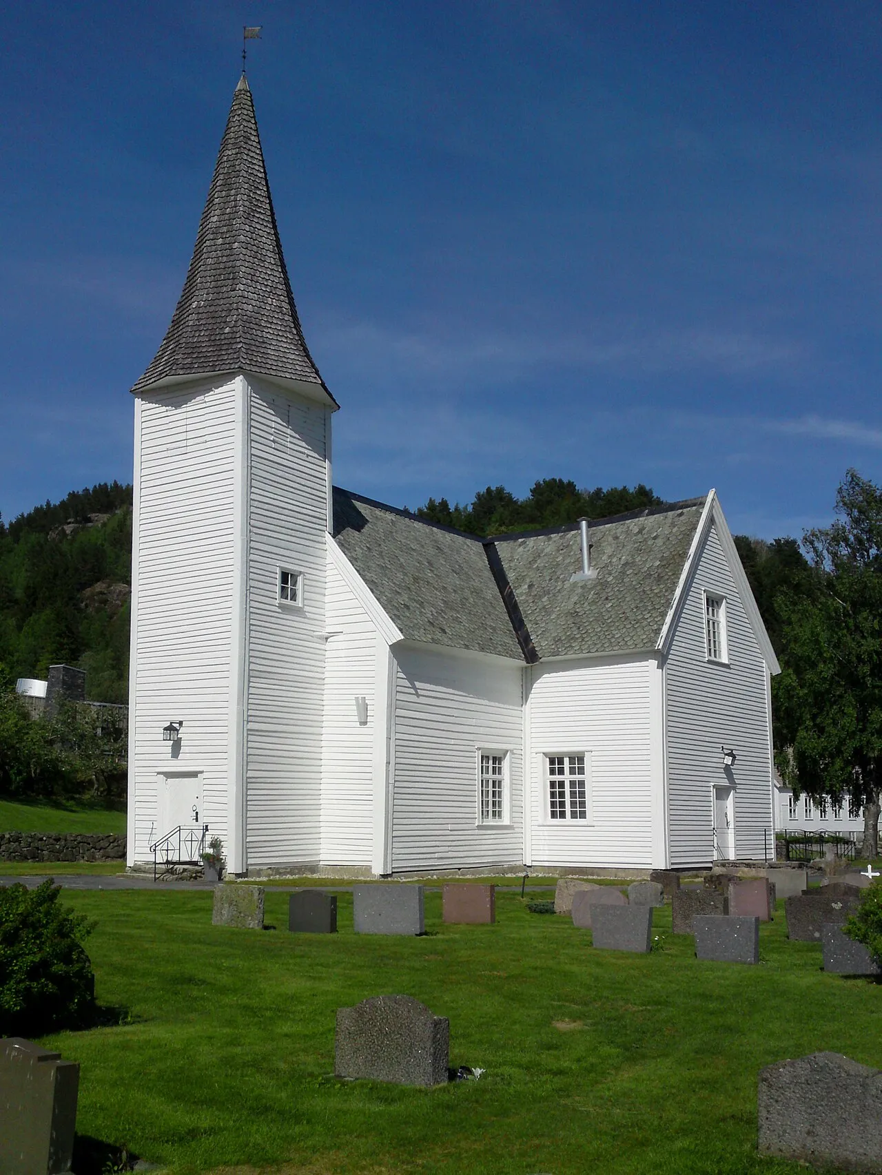
Kyrkjebygda is the administrative centre of Åseral Municipality in Agder county, Norway. The village is located on a small flat plain in a valley at the northern end of the lake Øre at the confluence of the rivers Logna and Monn. The Monn river valley heads north-northwest to the village of Ljosland and the Logna river valley heads north-northeast to the villages of Åknes and Bortelid. The name Kyrkjebygda literally means "church village" in the Norwegian language.
Read more on Wikipedia Text: Wikipedia contributors · CC BY-SA 4.0 · shortened
In comparison
Climate of Kyrkjebygda
Best months for sightseeing: June–August.
| Month | Jan | Feb | Mar | Apr | May | Jun | Jul | Aug | Sep | Oct | Nov | Dec |
|---|---|---|---|---|---|---|---|---|---|---|---|---|
| Average high (°C) | 1° | 1° | 3° | 8° | 14° | 18° | 19° | 19° | 14° | 10° | 5° | 2° |
| Average low (°C) | -4° | -4° | -2° | 1° | 6° | 9° | 12° | 11° | 8° | 5° | 1° | -2° |
| Precipitation (mm) | 177 | 124 | 128 | 76 | 87 | 105 | 97 | 138 | 186 | 214 | 210 | 182 |
Monthly averages for 1970–2000 at about 18 km resolution, adjusted for elevation. Highlighted months are mild and relatively dry. Source: WorldClim 2.1 (CC BY 4.0).
Airports nearest to Kyrkjebygda
- Kristiansand Airport (KRS) Kristiansand(Kjevik) 60 km
- Stavanger Airport, Sola (SVG) Stavanger 107 km
- Haugesund Airport, Karmøy (HAU) Karmøy 151 km
Straight-line distance; airports with scheduled flights only. Source: OurAirports (public domain).
Sources & licences
Data last updated: · 2 independent sources