- Local time
- UTC+01:00
- Europe/Oslo · UTC+01:00
- Elevation
- 480 m
- above sea level
- Airports
- OSL Oslo-Gardermoen International Airport89 km
- SCR Scandinavian Mountains Airport138 km
About Nykirke
Nykirke is a tourist attraction. Location: Gjøvik, Innlandet.
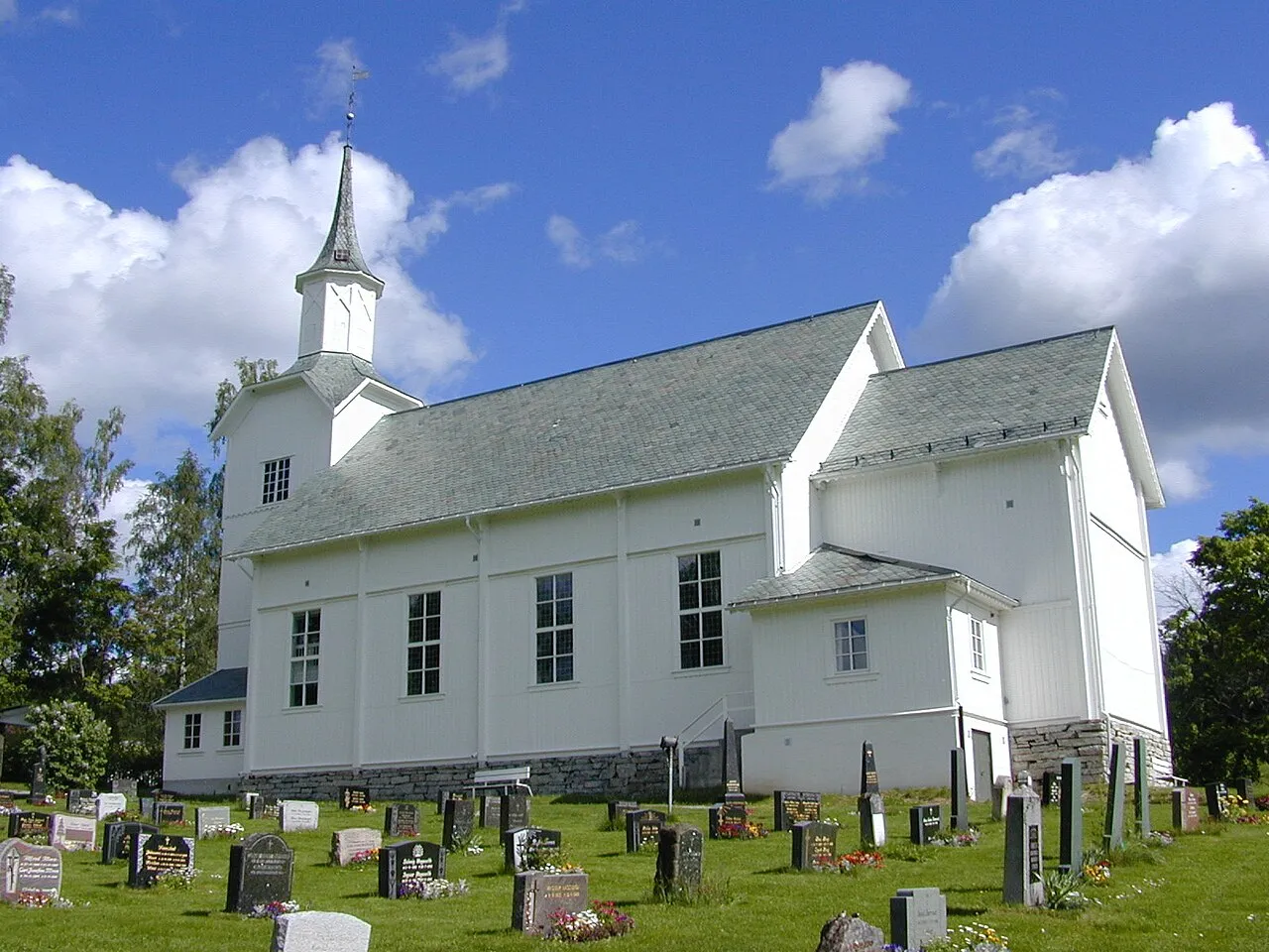
Nykirke (lit. 'New Church') is a parish church of the Church of Norway in Gjøvik Municipality in Innlandet county, Norway. It is located in the village of Ålset in the Snertingdalen valley. It is one of the churches for the Snertingdal parish which is part of the Toten prosti (deanery) in the Diocese of Hamar. The white, wooden church was built in a long church design in 1872 using plans drawn up by the architect Jacob Wilhelm Nordan. The church seats about 360 people.
Read more on Wikipedia Text: Wikipedia contributors · CC BY-SA 4.0 · shortened
At a glance
- Built
- 1872
Source: Wikidata
Climate of Nykirke
Best months for sightseeingBest months for sightseeing: June–August.
Bars: average monthly low and high temperature. Below: precipitation. Monthly averages for 1970–2000 at about 18 km resolution, adjusted for elevation. Highlighted months are mild and relatively dry. Source: WorldClim 2.1 (CC BY 4.0).
Show values as a table
| Month | Jan | Feb | Mar | Apr | May | Jun | Jul | Aug | Sep | Oct | Nov | Dec |
|---|---|---|---|---|---|---|---|---|---|---|---|---|
| Average high (°C) | -4° | -3° | 1° | 6° | 13° | 17° | 19° | 17° | 12° | 6° | 0° | -4° |
| Average low (°C) | -10° | -10° | -6° | -2° | 3° | 8° | 10° | 9° | 4° | 0° | -5° | -9° |
| Precipitation (mm) | 47 | 32 | 43 | 37 | 54 | 81 | 86 | 82 | 78 | 80 | 66 | 48 |
Airports nearest to Nykirke
- Oslo-Gardermoen International Airport (OSL) Oslo (Gardermoen) 89 km
- Scandinavian Mountains Airport (SCR) Malung-Sälen 138 km
- Torsby Airport (TYF) Torsby 167 km
Straight-line distance; airports with scheduled flights only. Source: OurAirports (public domain).
Nearest towns and villages
-
Dokka City, Nordre Land16 km SW
-
Gjøvik City, Gjøvik22 km SE
-
Moelv Village, Ringsaker20 km E
-
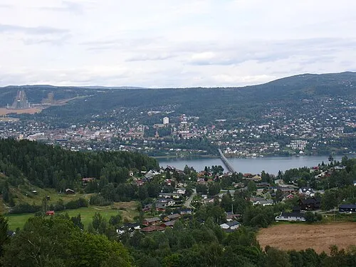 Lillehammer City, Lillehammer25 km N
Sources & licences
Data last updated: · 2 independent sources