- Population
- 639
- 639
- Elevation
- 2 m
- above sea level
- Local time
- UTC+01:00
- Europe/Oslo · UTC+01:00
- Airports
- SVG Stavanger Airport, Sola51 km
- HAU Haugesund Airport, Karmøy57 km
About Hjelmelandsvågen
Hjelmelandsvågen is a city. Location: Hjelmeland, Rogaland. Population: 639. Elevation: 2 m.
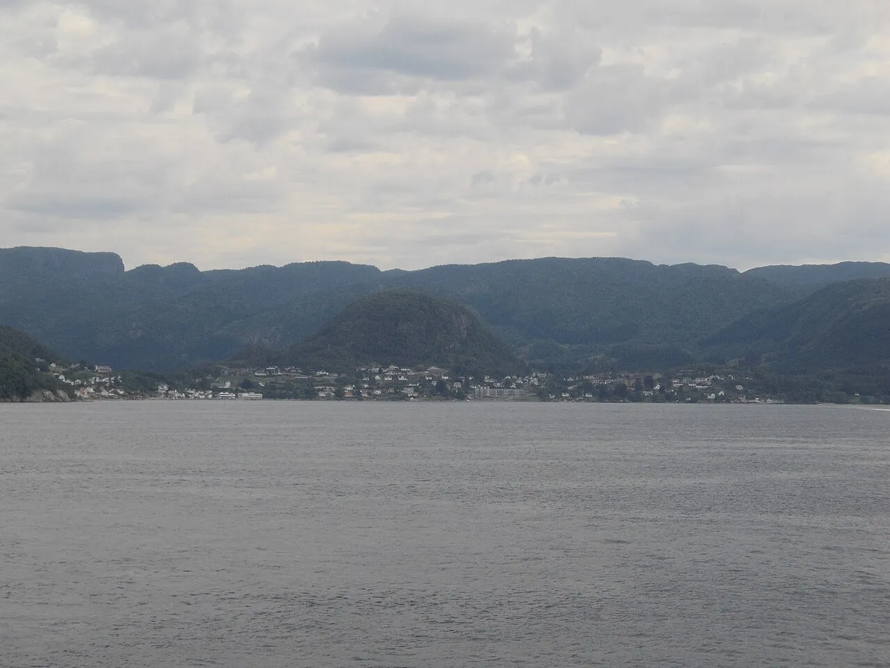
Hjelmeland or Hjelmelandsvågen is the administrative centre of Hjelmeland Municipality in Rogaland county, Norway. The village is located on the south side of the mouth of the Jøsenfjorden. The 0.73-square-kilometre (180-acre) village has a population (2025) of 639 and a population density of 875 inhabitants per square kilometre (2,270/sq mi). The Norwegian National Road 13 runs through the village, with a ferry connection across the Jøsenfjorden and to the nearby island of Ombo.
Source: Wikipedia · CC BY-SA 4.0
At a glance
- Area
- 67 ha
Source: Wikidata
Photos of Hjelmelandsvågen
-

mathias hentschke from BRD · CC BY 2.0 -

Helmut Seger · CC BY-SA 4.0


Population of Hjelmelandsvågen over time
| 2019 | 592 | |
|---|---|---|
| 2020 | 581 | |
| 2021 | 570 | |
| 2022 | 561 | |
| 2023 | 576 | |
| 2024 | 614 | |
| 2025 | 639 |
Censuses and official estimates; source: Wikidata.
Climate of Hjelmelandsvågen
Best months for sightseeingBest months for sightseeing: June–August.
This month · November
A wet month
Day 7° · Night 2° · Rain 281 mm
- Hottest month
- July (day 19°)
- Coldest month
- February (night -2°)
- Wettest month
- December (310 mm)
- Driest month
- April (99 mm)
Bars: average monthly low and high temperature. Below: precipitation. Monthly averages for 1970–2000 at about 18 km resolution, adjusted for elevation. Highlighted months are mild and relatively dry. Source: WorldClim 2.1 (CC BY 4.0).
Show values as a table
| Month | Jan | Feb | Mar | Apr | May | Jun | Jul | Aug | Sep | Oct | Nov | Dec |
|---|---|---|---|---|---|---|---|---|---|---|---|---|
| Average high (°C) | 4° | 4° | 6° | 10° | 15° | 18° | 19° | 19° | 15° | 11° | 7° | 5° |
| Average low (°C) | -1° | -2° | 0° | 3° | 7° | 10° | 12° | 12° | 9° | 6° | 2° | 0° |
| Precipitation (mm) | 253 | 201 | 193 | 99 | 100 | 124 | 145 | 181 | 251 | 285 | 281 | 310 |
How to get to Hjelmelandsvågen
The nearest airport is Stavanger Airport, Sola (SVG), 51 km to the southwest as the crow flies. The nearest large city is Stavanger, 39 km to the southwest.
Airports
- Stavanger Airport, Sola (SVG) Stavanger 51 kmsouthwest
- Haugesund Airport, Karmøy (HAU) Karmøy 57 kmwest
- Stord Airport, Sørstokken (SRP) Leirvik 78 kmnorthwest
Nearby large cities
- Stavanger Population: 151.7K 39 kmsouthwest
- Bergen Population: 294K 137 kmnorth
- Kristiansand Population: 117.2K 161 kmsoutheast
- Drammen Population: 106K 235 kmeast
- Oslo Population: 1.1M 269 kmeast
Straight-line distances; road distances are longer. Airport data: OurAirports.
Day trips from Hjelmelandsvågen
Within 100 km: 3 historic and cultural sites.
25–60 km2 places
- Askjesundbrua Landmark 35 kmSW
- Åmøybrua Landmark 35 kmSW
60–100 km1 place
- Stord Bridge Landmark 72 kmNW
Straight-line distances.
Sources & licences
Data last updated: · 2 independent sources