- Population
- 1,100
- 1.1K
- Elevation
- 421 m
- above sea level
- Local time
- UTC+01:00
- Europe/Warsaw · UTC+01:00
- Airports
- KRK Kraków John Paul II International Airport46 km
- TAT Poprad-Tatry Airport76 km
About Skrzydlna
Skrzydlna is a village. Location: Dobra, Limanowa County. Population: 1,100. Elevation: 421 m. The best months to visit are June–August. The nearest airport is Kraków John Paul II International Airport (46 km). Nearby sights include Lubogoszcz and Kostrza.
Photos of Skrzydlna
-
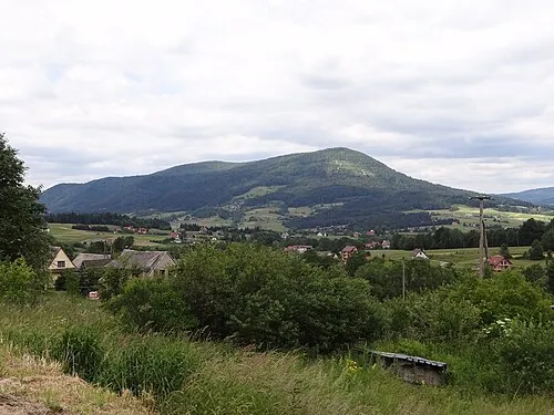
Lubogoszcz Jerzy Opioła · CC BY-SA 4.0 -
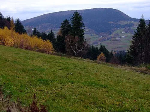
Kostrza Jerzy Opioła · CC BY-SA 3.0 -
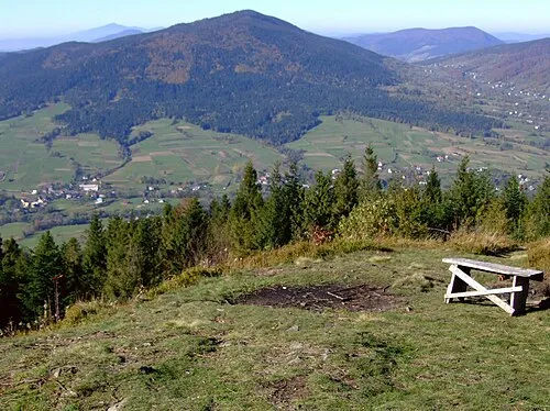
Beskid Wyspowy Jerzy Opioła · CC BY-SA 3.0


Climate of Skrzydlna
Best months for sightseeingBest months for sightseeing: June–August.
This month · November
A cold month
Day 7° · Night 0° · Rain 62 mm
- Hottest month
- July (day 23°)
- Coldest month
- January (night -6°)
- Wettest month
- July (149 mm)
- Driest month
- February (49 mm)
Bars: average monthly low and high temperature. Below: precipitation. Monthly averages for 1970–2000 at about 18 km resolution, adjusted for elevation. Highlighted months are mild and relatively dry. Source: WorldClim 2.1 (CC BY 4.0).
Show values as a table
| Month | Jan | Feb | Mar | Apr | May | Jun | Jul | Aug | Sep | Oct | Nov | Dec |
|---|---|---|---|---|---|---|---|---|---|---|---|---|
| Average high (°C) | 2° | 3° | 7° | 13° | 18° | 21° | 23° | 23° | 18° | 13° | 7° | 3° |
| Average low (°C) | -6° | -5° | -2° | 3° | 7° | 10° | 12° | 11° | 8° | 4° | 0° | -4° |
| Precipitation (mm) | 64 | 49 | 50 | 73 | 102 | 146 | 149 | 112 | 88 | 74 | 62 | 55 |
How to get to Skrzydlna
The nearest airport is Kraków John Paul II International Airport (KRK), 46 km to the northwest as the crow flies. The nearest large city is Košice, 139 km to the southeast.
Airports
- Kraków John Paul II International Airport (KRK) Balice 46 kmnorthwest
- Poprad-Tatry Airport (TAT) Poprad 76 kmsouth
- Katowice Wojciech Korfanty International Airport (KTW) Katowice 113 kmnorthwest
Nearby large cities
- Košice Population: 225K 139 kmsoutheast
- Miskolc Population: 154.5K 189 kmsouth
- Nyíregyháza Population: 117.7K 229 kmsoutheast
- Brno Population: 404.3K 267 kmwest
- Debrecen Population: 202.4K 269 kmsoutheast
Straight-line distances; road distances are longer. Airport data: OurAirports.
Day trips from Skrzydlna
Within 100 km: 84 historic and cultural sites, 352 natural sites, 8 lakes, rivers and coasts.
0–25 km45 places
- Obidowiec Mountain 23 kmS
- Przysłop Mountain 23 kmS
- Kostrza Mountain 8 kmE
- Łysina Mountain 10 kmW
25–60 km121 places
- Beskids Mountain 38 kmS
- Červený Kláštor Attraction 43 kmSE
- Jaworzyna Mountain 32 kmS
- Belianske Tatry Mountain 58 kmS
60–100 km278 places
- Skalnaté pleso Lake 63 kmS
- Popradské Pleso Lake 67 kmS
- Ostrá Mountain 67 kmS
- Vysoká Mountain 65 kmS
Straight-line distances.
Nearby attractions & nature
Everything nearby-
Lubogoszcz Mountain, Mszana Dolna7.8 km SW
-
Kostrza Mountain, Jodłownik8 km E
-
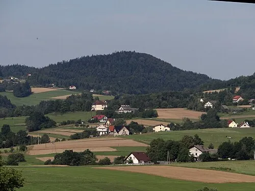 Świnna Mountain, Tymbark8.2 km E
-
Beskid Wyspowy Mountain, Lesser Poland Voivodeship7.5 km SE
-
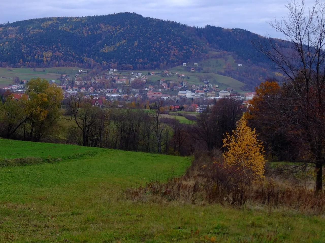 Zesów Mountain, Tymbark9.7 km E
-
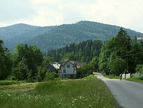 Jasień Mountain, Dobra14 km S
Sources & licences
Data last updated: