- Population
- 1,269
- 1.3K
- Elevation
- 377 m
- above sea level
- Local time
- UTC+01:00
- Europe/Warsaw · UTC+01:00
- Airports
- KRK Kraków John Paul II International Airport28 km
- TAT Poprad-Tatry Airport90 km
About Borzęta
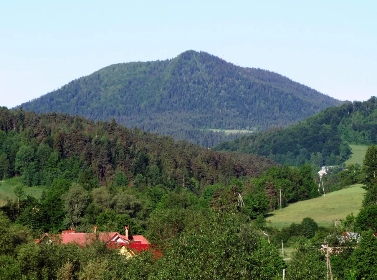
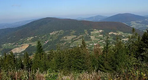
Borzęta is a village. Location: Myślenice, Myślenice County. Population: 1,269. Elevation: 377 m. The best months to visit are June–August. The nearest airport is Kraków John Paul II International Airport (28 km). Nearby sights include Łysina and Zębalowa.
Climate of Borzęta
Best months for sightseeingBest months for sightseeing: June–August.
This month · November
A cold month
Day 6° · Night -1° · Rain 44 mm
- Hottest month
- July (day 23°)
- Coldest month
- January (night -6°)
- Wettest month
- June (107 mm)
- Driest month
- February (36 mm)
Bars: average monthly low and high temperature. Below: precipitation. Monthly averages for 1970–2000 at about 18 km resolution, adjusted for elevation. Highlighted months are mild and relatively dry. Source: WorldClim 2.1 (CC BY 4.0).
Show values as a table
| Month | Jan | Feb | Mar | Apr | May | Jun | Jul | Aug | Sep | Oct | Nov | Dec |
|---|---|---|---|---|---|---|---|---|---|---|---|---|
| Average high (°C) | 1° | 3° | 8° | 13° | 19° | 22° | 23° | 23° | 18° | 13° | 6° | 2° |
| Average low (°C) | -6° | -5° | -2° | 2° | 7° | 10° | 12° | 11° | 8° | 3° | -1° | -4° |
| Precipitation (mm) | 42 | 36 | 37 | 54 | 79 | 107 | 103 | 86 | 65 | 54 | 44 | 42 |
How to get to Borzęta
The nearest airport is Kraków John Paul II International Airport (KRK), 28 km to the northwest as the crow flies. The nearest large city is Miskolc, 204 km to the south.
Airports
- Kraków John Paul II International Airport (KRK) Balice 28 kmnorthwest
- Poprad-Tatry Airport (TAT) Poprad 90 kmsouth
- Katowice Wojciech Korfanty International Airport (KTW) Katowice 94 kmnorthwest
Nearby large cities
- Miskolc Population: 154.5K 204 kmsouth
- Nyíregyháza Population: 117.7K 247 kmsoutheast
- Brno Population: 404.3K 255 kmwest
- Debrecen Population: 202.4K 286 kmsoutheast
- Győr Population: 129.3K 297 kmsouthwest
Straight-line distances; road distances are longer. Airport data: OurAirports.
Nearby attractions & nature
Everything nearby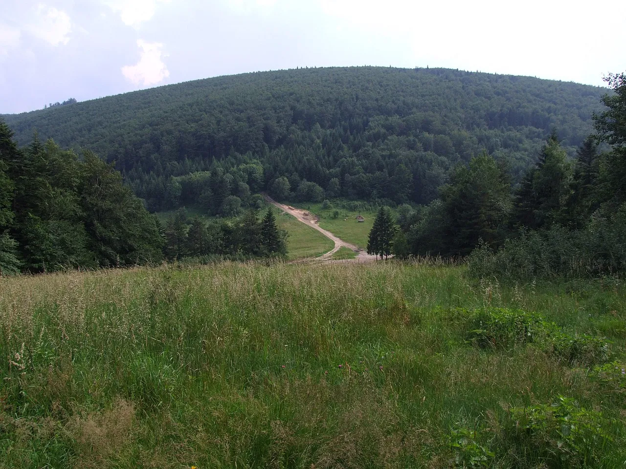
Sources & licences
Data last updated: