Nowy Sącz County
Located in Lesser Poland Voivodeship, Poland Coordinates: 49°33′05″ N 20°43′48″ E
- Population
- 214,999
- 215K
- Elevation
- 418 m
- above sea level
- Local time
- UTC+01:00
- Europe/Warsaw · UTC+01:00
- Places inside
- 16
- listed under Nowy Sącz County
About Nowy Sącz County
Nowy Sącz County is a district. Location: Lesser Poland Voivodeship, Poland. Population: 214,999.
In comparison
- 7 sights and natural places within 10 km Ostra, Stary Sącz Ghetto
- Listed here: Municipality: 16
Places in Nowy Sącz County
16 places-
Chełmiec Municipality28.2K
-
Grybów Municipality25.2K
-
Gmina Stary Sącz Municipality23.6K
-
Krynica-Zdrój Municipality16.8K
-
Gmina Łącko Municipality16.5K
-
Gmina Korzenna Municipality14.4K
-
Podegrodzie Municipality13.1K
-
Gmina Muszyna Municipality11.6K
-
Gmina Łososina Dolna Municipality10.9K
-
Gmina Piwniczna-Zdrój Municipality10.7K
-
Gmina Kamionka Wielka Municipality10.3K
-
Gmina Gródek nad Dunajcem Municipality9.2K
-
Nawojowa Municipality8.6K
-
Grybów Municipality6.1K
-
Gmina Łabowa Municipality6K
-
Gmina Rytro Municipality3.8K
Nature and heritage in Nowy Sącz County
-
Jaworzyna Krynicka Mountain, Gmina Muszyna
-
Runek Mountain, Gmina Muszyna
-
Pisana Hala Mountain, Gmina Piwniczna-Zdrój
-
Ostra Mountain, Nawojowa
-
Magurzyca Mountain, Gmina Rytro
-
Huzary Mountain, Krynica-Zdrój
Nearby attractions & nature
Everything nearby-
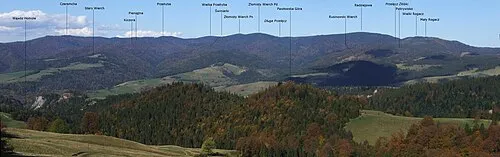 Beskid Sądecki Mountain, Lesser Poland Voivodeship11 km S
-
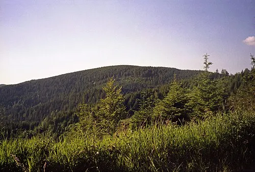 Radziejowa Mountain, Szczawnica15 km SW
-
Pasmo Jaworzyny Mountain, Lesser Poland Voivodeship16 km SE
-
Nowy Sącz Ghetto Historic site, Nowy Sącz9.2 km N
-
Załazie Mountain, Lesser Poland Voivodeship24 km SW
-
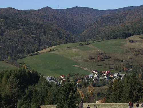 Przehyba Mountain, Szczawnica16 km SW
Sources & licences
Data last updated: