Oświęcim County
Located in Lesser Poland Voivodeship, Poland Coordinates: 50°02′17″ N 19°13′40″ E
- Population
- 154,292
- 154.3K
- Elevation
- 245 m
- above sea level
- Local time
- UTC+01:00
- Europe/Warsaw · UTC+01:00
- Places inside
- 9
- listed under Oświęcim County
About Oświęcim County
Oświęcim County is a district. Location: Lesser Poland Voivodeship, Poland. Population: 154,292.
In comparison
- 9 sights and natural places within 10 km Auschwitz I Concentration Camp, Bobrek Concentration Camp
- Listed here: Municipality: 9
Places in Oświęcim County
9 places-
Oświęcim Municipality38.7K
-
Kęty Municipality34.3K
-
Brzeszcze Municipality21.4K
-
Oświęcim Municipality18.3K
-
Chełmek Municipality13K
-
Zator Municipality9.3K
-
Osiek Municipality8.2K
-
Przeciszów Municipality6.7K
-
Polanka Wielka Municipality4.3K
Nature and heritage in Oświęcim County
-
Auschwitz II Birkenau Concentration and Extermination Camp Historic site, Oświęcim
-
Auschwitz III Monowitz Concentration Camp Historic site, Oświęcim
-
Auschwitz I Concentration Camp Historic site, Oświęcim
-
Bobrek Concentration Camp Historic site, Chełmek
-
Jawischowitz Concentration Camp Historic site, Brzeszcze
-
Harmense Concentration Camp Historic site, Oświęcim
Nearby attractions & nature
Everything nearby-
Janinagrube Concentration Camp Historic site, Libiąż9.7 km NE
-
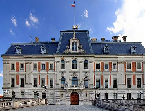 Pszczyna Castle Historic site, Pszczyna22 km W
-
Andrychów Ghetto Historic site, Andrychów23 km SE
-
Chrzanów Ghetto Historic site, Chrzanów16 km NE
-
Wielki Dział Mountain, Wieprz20 km SE
-
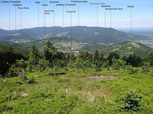 Bujakowski Groń Mountain, Porąbka24 km S
Sources & licences
Data last updated: