Kęty
Located in Oświęcim County, Lesser Poland Voivodeship Coordinates: 49°52′45″ N 19°12′35″ E
- Population
- 34,300
- 34.3K
- Elevation
- 275 m
- above sea level
- Local time
- UTC+01:00
- Europe/Warsaw · UTC+01:00
- Places inside
- 5
- listed under Kęty
- Airports
- KRK Kraków John Paul II International Airport47 km
- KTW Katowice Wojciech Korfanty International Airport67 km
About Kęty
Kęty is a municipality. Location: Oświęcim County, Lesser Poland Voivodeship. Population: 34,300. Elevation: 275 m. The best months to visit are May–September. The nearest airport is Kraków John Paul II International Airport (47 km). Nearby sights include Bujakowski Groń and Hrobacza Łąka.
Climate of Kęty
Best months for sightseeingBest months for sightseeing: May–September.
This month · November
A cold month
Day 7° · Night 0° · Rain 46 mm
- Hottest month
- July (day 24°)
- Coldest month
- January (night -5°)
- Wettest month
- July (101 mm)
- Driest month
- February (35 mm)
Bars: average monthly low and high temperature. Below: precipitation. Monthly averages for 1970–2000 at about 18 km resolution, adjusted for elevation. Highlighted months are mild and relatively dry. Source: WorldClim 2.1 (CC BY 4.0).
Show values as a table
| Month | Jan | Feb | Mar | Apr | May | Jun | Jul | Aug | Sep | Oct | Nov | Dec |
|---|---|---|---|---|---|---|---|---|---|---|---|---|
| Average high (°C) | 2° | 3° | 8° | 14° | 19° | 22° | 24° | 24° | 19° | 14° | 7° | 3° |
| Average low (°C) | -5° | -4° | -1° | 3° | 8° | 11° | 13° | 12° | 9° | 5° | 0° | -3° |
| Precipitation (mm) | 38 | 35 | 39 | 55 | 81 | 100 | 101 | 91 | 68 | 51 | 46 | 44 |
Other places to visit in this season: May June July August September
How to get to Kęty
The nearest airport is Kraków John Paul II International Airport (KRK), 47 km to the northeast as the crow flies. The nearest large city is Brno, 203 km to the west.
Airports
- Kraków John Paul II International Airport (KRK) Balice 47 kmnortheast
- Katowice Wojciech Korfanty International Airport (KTW) Katowice 67 kmnorth
- Leoš Janáček Airport Ostrava (OSR) Mošnov 82 kmwest
Nearby large cities
- Brno Population: 404.3K 203 kmwest
- Miskolc Population: 154.5K 228 kmsoutheast
- Győr Population: 129.3K 270 kmsouthwest
- Nyíregyháza Population: 117.7K 282 kmsoutheast
- Székesfehérvár Population: 101.6K 305 kmsouth
Straight-line distances; road distances are longer. Airport data: OurAirports.
Places in Kęty
5 placesBar: population relative to the most populous place in this list.
Nearby attractions & nature
Everything nearby-
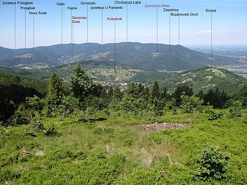 Bujakowski Groń Mountain, Porąbka5.9 km S
-
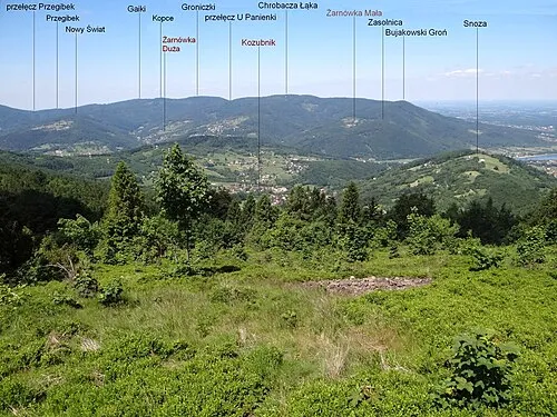 Hrobacza Łąka Mountain, Czernichów7.1 km SW
-
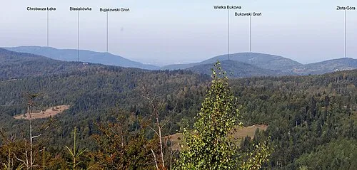 Bukowski Groń Mountain, Porąbka7.3 km SE
-
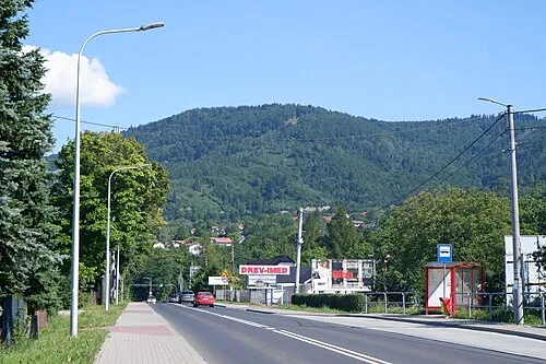 Groniczki Mountain, Kozy8.5 km SW
-
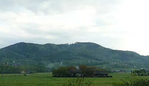 Złota Góra Mountain, Andrychów9.3 km SE
-
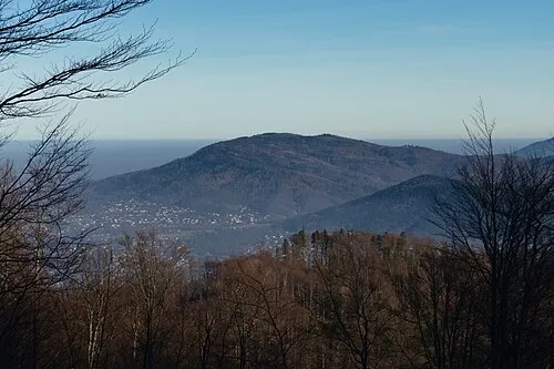 Gaiki Mountain, Kozy10 km SW
-
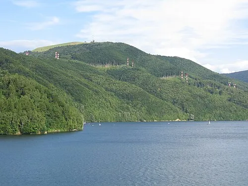 Żar Mountain, Czernichów10 km S
-
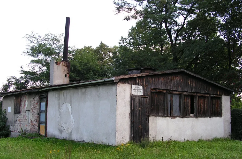 Jawischowitz Concentration Camp Historic site, Brzeszcze10 km NW
Sources & licences
Data last updated: