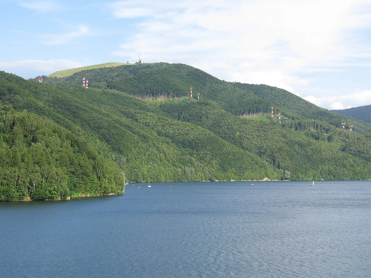
- Elevation
- 761 m
- above sea level
- Local time
- UTC+01:00
- Europe/Warsaw · UTC+01:00
- Airports
- KRK Kraków John Paul II International Airport52 km
- KTW Katowice Wojciech Korfanty International Airport77 km
About Żar
Żar is a mountain. Location: Czernichów, Żywiec County. Elevation: 761 m.
Żar is a mountain in the mountain range of Little Beskids in southern Poland, 761 m above the sea level. Below the mountain is an artificial lake (the Międzybrodzkie lake) that was created by damming the Soła river. The elevation of the lake is 318 metres (1,043 ft) above sea level.
Source: Wikipedia · CC BY-SA 4.0
Photos of Żar
-

Kamillaess · CC BY-SA 3.0 pl -

Fry72 · CC BY-SA 4.0 -

marek7400 · CC BY 3.0 -

Segu · CC BY-SA 3.0 -

Michał460 · Public domain


Climate of Żar
Best months for sightseeingBest months for sightseeing: June–August.
This month · November
A cold month
Day 4° · Night -3° · Rain 57 mm
- Hottest month
- July (day 21°)
- Coldest month
- January (night -8°)
- Wettest month
- July (117 mm)
- Driest month
- February (46 mm)
Bars: average monthly low and high temperature. Below: precipitation. Monthly averages for 1970–2000 at about 18 km resolution, adjusted for elevation. Highlighted months are mild and relatively dry. Source: WorldClim 2.1 (CC BY 4.0).
Show values as a table
| Month | Jan | Feb | Mar | Apr | May | Jun | Jul | Aug | Sep | Oct | Nov | Dec |
|---|---|---|---|---|---|---|---|---|---|---|---|---|
| Average high (°C) | -1° | 1° | 5° | 10° | 16° | 19° | 21° | 21° | 16° | 11° | 4° | 1° |
| Average low (°C) | -8° | -7° | -4° | 0° | 5° | 8° | 9° | 9° | 6° | 2° | -3° | -6° |
| Precipitation (mm) | 50 | 46 | 48 | 62 | 93 | 114 | 117 | 105 | 78 | 59 | 57 | 56 |
How to get to Żar
The nearest airport is Kraków John Paul II International Airport (KRK), 52 km to the northeast as the crow flies. The nearest large city is Košice, 190 km to the southeast.
Airports
- Kraków John Paul II International Airport (KRK) Balice 52 kmnortheast
- Katowice Wojciech Korfanty International Airport (KTW) Katowice 77 kmnorth
- Leoš Janáček Airport Ostrava (OSR) Mošnov 81 kmwest
Nearby large cities
- Košice Population: 225K 190 kmsoutheast
- Brno Population: 404.3K 201 kmwest
- Miskolc Population: 154.5K 219 kmsoutheast
- Bratislava Population: 423.7K 239 kmsouthwest
- Győr Population: 129.3K 262 kmsouthwest
Straight-line distances; road distances are longer. Airport data: OurAirports.
Day trips from Żar
Within 100 km: 65 historic and cultural sites, 369 natural sites, 11 lakes, rivers and coasts.
0–25 km71 places
- Smerkowiec Mountain 13 kmE
- Na Beskidzie Mountain 13 kmE
- Wysokie Mountain 19 kmW
- Wielki Dział Mountain 16 kmNE
25–60 km118 places
- Gírová Mountain 42 kmSW
- Orava Castle Historic site 59 kmS
- Bugaj Mountain 46 kmS
- Oravská Magura Mountain 55 kmS
60–100 km256 places
- Korňa River 60 kmSW
- Skalnaté pleso Lake 99 kmSE
- Popradské Pleso Lake 94 kmSE
- Ostrá Mountain 90 kmSE
Straight-line distances.
Nearest towns and villages
-
Międzybrodzie Bialskie Village, Czernichów2 km W
-
Porąbka Municipality, Bielsko-Biała County4.3 km N
-
Czernichów Village, Czernichów3.8 km S
-
Porąbka Village, Porąbka3.4 km N
-
Tresna Village, Czernichów5.7 km S
-
Kozy Municipality, Bielsko-Biała County7.7 km NW
Nearby attractions & nature
Everything nearby-
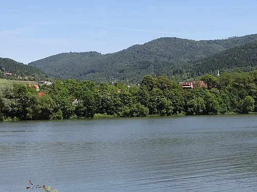 Cisowa Grapa Mountain, Porąbka2.5 km E
-
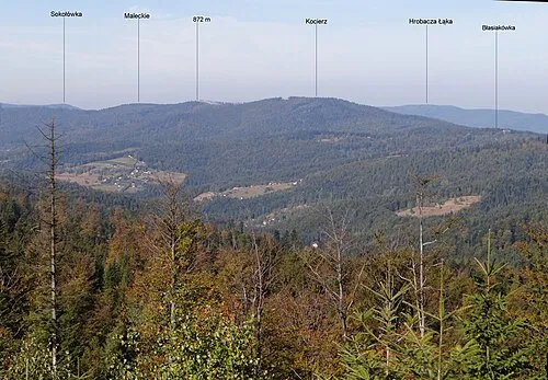 Maleckie Mountain, Łękawica2.6 km SE
-
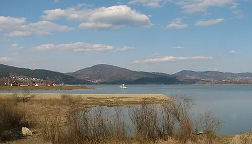 Jaworzyna Mountain, Żywiec3.4 km SE
-
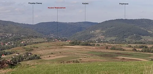 Kocierz Mountain, Łękawica4.4 km E
-
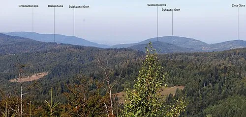 Bukowski Groń Mountain, Porąbka4.4 km NE
-
Skalisko - Mountain, Łękawica4.5 km SE
-
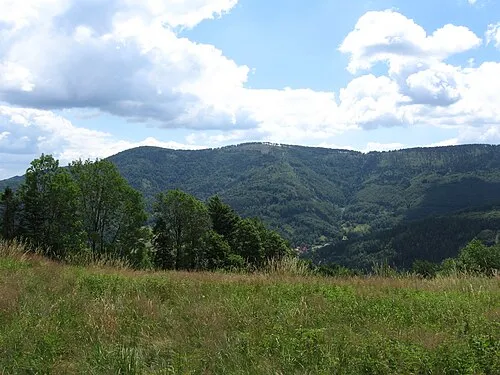 Czupel Wilkowicki Mountain, Łodygowice5.1 km SW
-
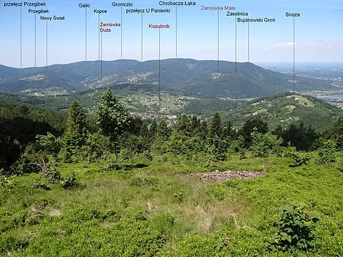 Bujakowski Groń Mountain, Porąbka5.2 km NW
Sources & licences
Data last updated: · 2 independent sources