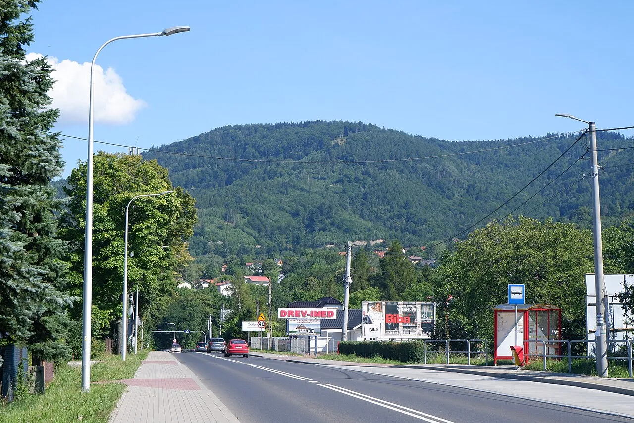
- Elevation
- 839 m
- above sea level
- Local time
- UTC+01:00
- Europe/Warsaw · UTC+01:00
- Airports
- KRK Kraków John Paul II International Airport54 km
- KTW Katowice Wojciech Korfanty International Airport74 km
About Groniczki
Groniczki is a mountain. Location: Kozy, Bielsko-Biała County. Elevation: 839 m. The best months to visit are June–August. The nearest airport is Kraków John Paul II International Airport (54 km). Nearby sights include Gaiki and Hrobacza Łąka.
Photos of Groniczki
-

Kamil Czaiński · CC BY-SA 4.0 -

Kamil Czaiński · CC BY-SA 4.0 -
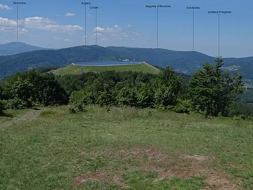
Magurka Wilkowicka Jerzy Opioła · CC BY-SA 4.0 -
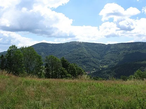
Czupel Wilkowicki Michał Płachta · CC BY-SA 2.5 -
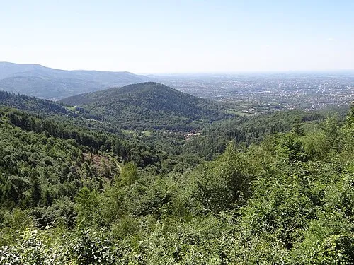
Łysa Góra Jerzy Opioła · CC BY-SA 4.0


Climate of Groniczki
Best months for sightseeingBest months for sightseeing: June–August.
This month · November
A cold month
Day 4° · Night -3° · Rain 61 mm
- Hottest month
- July (day 20°)
- Coldest month
- January (night -8°)
- Wettest month
- June (121 mm)
- Driest month
- February (48 mm)
Bars: average monthly low and high temperature. Below: precipitation. Monthly averages for 1970–2000 at about 18 km resolution, adjusted for elevation. Highlighted months are mild and relatively dry. Source: WorldClim 2.1 (CC BY 4.0).
Show values as a table
| Month | Jan | Feb | Mar | Apr | May | Jun | Jul | Aug | Sep | Oct | Nov | Dec |
|---|---|---|---|---|---|---|---|---|---|---|---|---|
| Average high (°C) | -1° | 0° | 5° | 10° | 15° | 18° | 20° | 20° | 15° | 10° | 4° | 0° |
| Average low (°C) | -8° | -7° | -4° | 0° | 4° | 7° | 9° | 9° | 6° | 2° | -3° | -6° |
| Precipitation (mm) | 51 | 48 | 52 | 66 | 96 | 121 | 121 | 112 | 83 | 61 | 61 | 61 |
How to get to Groniczki
The nearest airport is Kraków John Paul II International Airport (KRK), 54 km to the northeast as the crow flies. The nearest large city is Brno, 196 km to the west.
Airports
- Kraków John Paul II International Airport (KRK) Balice 54 kmnortheast
- Katowice Wojciech Korfanty International Airport (KTW) Katowice 74 kmnorth
- Leoš Janáček Airport Ostrava (OSR) Mošnov 76 kmwest
Nearby large cities
- Brno Population: 404.3K 196 kmwest
- Košice Population: 225K 197 kmsoutheast
- Miskolc Population: 154.5K 225 kmsoutheast
- Bratislava Population: 423.7K 238 kmsouthwest
- Győr Population: 129.3K 262 kmsouthwest
Straight-line distances; road distances are longer. Airport data: OurAirports.
Day trips from Groniczki
Within 100 km: 64 historic and cultural sites, 357 natural sites, 8 lakes, rivers and coasts.
0–25 km78 places
- Smerkowiec Mountain 20 kmE
- Na Beskidzie Mountain 20 kmE
- Bucze Mountain 22 kmW
- Wysokie Mountain 14 kmW
25–60 km118 places
- Korňa River 58 kmSW
- Gírová Mountain 40 kmSW
- Bugaj Mountain 48 kmS
- Oravská Magura Mountain 60 kmS
60–100 km233 places
- Ostrá Mountain 96 kmSE
- Vysoká Mountain 99 kmSE
- Beskids Mountain 91 kmSE
- Veľký Kriváň Mountain 70 kmS
Straight-line distances.
Nearest towns and villages
-
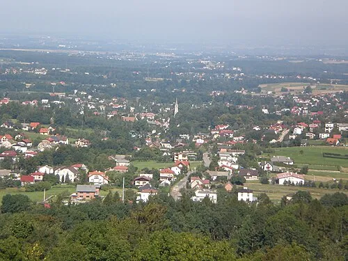 Kozy Town, Kozy3.6 km N
-
Straconka Neighbourhood, Bielsko-Biała4.1 km SW
-
Zlote Lany Town, Bielsko-Biała5.2 km W
-
Hałcnów Town, Bielsko-Biała5 km NW
-
Czernichów Municipality, Żywiec County5.6 km SE
-
Lipnik Neighbourhood, Bielsko-Biała5 km W
Nearby attractions & nature
Everything nearby-
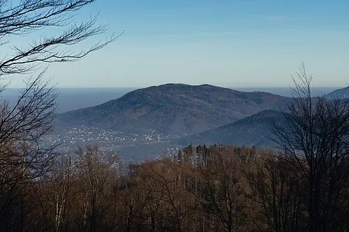 Gaiki Mountain, Kozy1.6 km SW
-
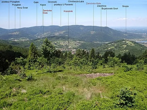 Hrobacza Łąka Mountain, Czernichów1.7 km NE
-
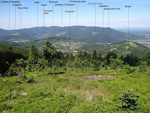 Bujakowski Groń Mountain, Porąbka3.6 km NE
-
Magurka Wilkowicka Mountain, Wilkowice4.4 km S
-
Łysa Góra Mountain, Bielsko-Biała4.9 km SW
-
Czupel Wilkowicki Mountain, Łodygowice5.5 km S
-
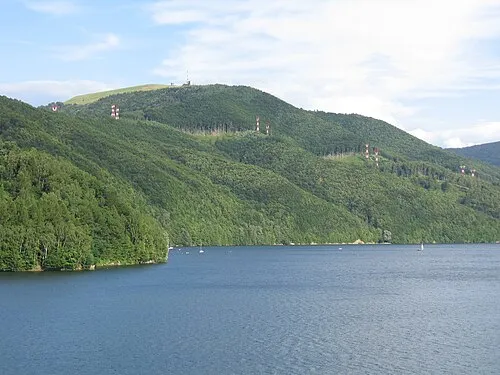 Żar Mountain, Czernichów6.7 km SE
-
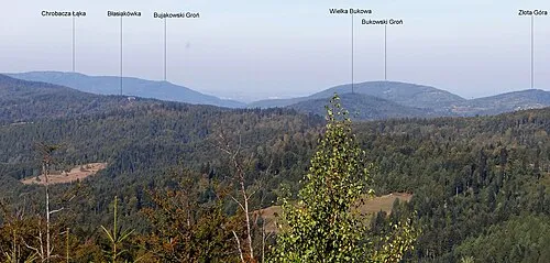 Bukowski Groń Mountain, Porąbka8.2 km E
Sources & licences
Data last updated: · 2 independent sources