- Elevation
- 484 m
- above sea level
- Local time
- UTC+01:00
- Europe/Warsaw · UTC+01:00
- Airports
- WRO Copernicus Wrocław Airport85 km
- PED Pardubice Airport93 km
About Witosza
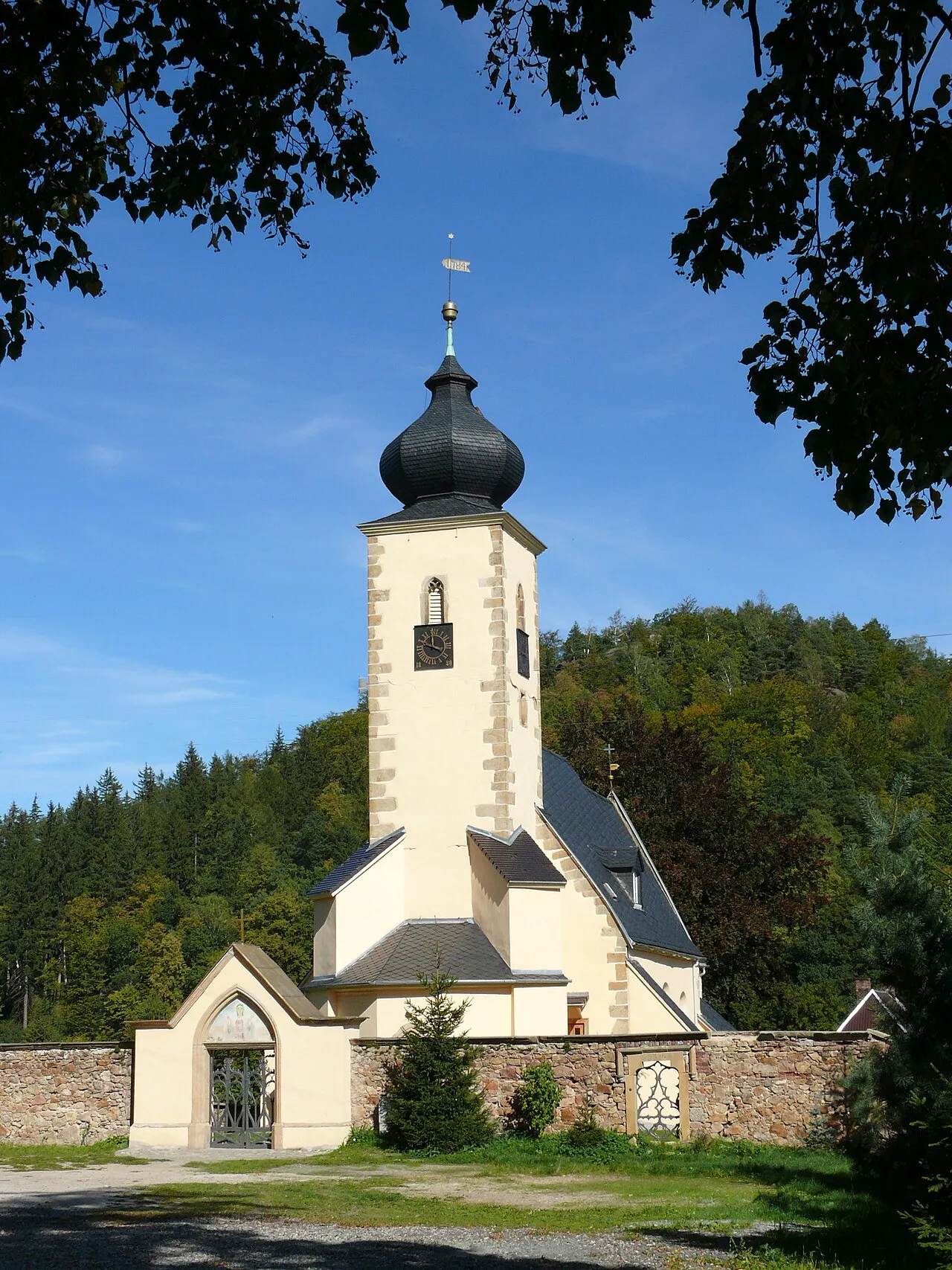
Witosza is a mountain. Location: Podgórzyn, Jelenia Góra County. Elevation: 484 m. The best months to visit are June–August. The nearest airport is Copernicus Wrocław Airport (85 km). Nearby sights include Grodna and Grabowiec.
Photos of Witosza
-
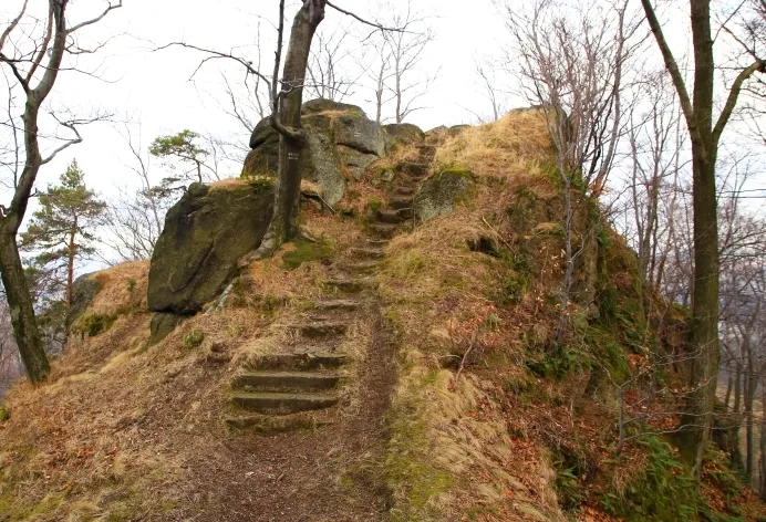
Koziniec Przemysław Woźnica · CC BY-SA 3.0 -
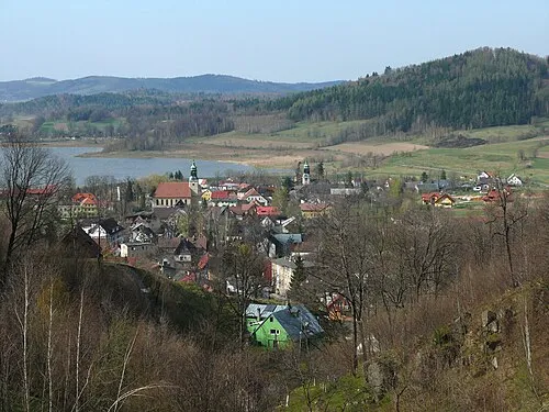
Grodna Piotr Matyga · CC BY-SA 4.0


Climate of Witosza
Best months for sightseeingBest months for sightseeing: June–August.
This month · November
A cold month
Day 5° · Night 0° · Rain 38 mm
- Hottest month
- July (day 21°)
- Coldest month
- January (night -7°)
- Wettest month
- July (83 mm)
- Driest month
- February (28 mm)
Bars: average monthly low and high temperature. Below: precipitation. Monthly averages for 1970–2000 at about 18 km resolution, adjusted for elevation. Highlighted months are mild and relatively dry. Source: WorldClim 2.1 (CC BY 4.0).
Show values as a table
| Month | Jan | Feb | Mar | Apr | May | Jun | Jul | Aug | Sep | Oct | Nov | Dec |
|---|---|---|---|---|---|---|---|---|---|---|---|---|
| Average high (°C) | -2° | 1° | 6° | 12° | 17° | 19° | 21° | 21° | 17° | 12° | 5° | 0° |
| Average low (°C) | -7° | -6° | -2° | 2° | 6° | 9° | 11° | 10° | 7° | 4° | 0° | -5° |
| Precipitation (mm) | 31 | 28 | 33 | 42 | 62 | 75 | 83 | 74 | 47 | 39 | 38 | 40 |
How to get to Witosza
The nearest airport is Copernicus Wrocław Airport (WRO), 85 km to the east as the crow flies. The nearest large city is Prague, 126 km to the southwest.
Airports
- Copernicus Wrocław Airport (WRO) Wrocław 85 kmeast
- Pardubice Airport (PED) Pardubice 93 kmsouth
- Václav Havel Airport Prague (PRG) Prague 134 kmsouthwest
Nearby large cities
- Prague Population: 1.2M 126 kmsouthwest
- Dresden Population: 564.9K 142 kmwest
- Brno Population: 404.3K 195 kmsouth
- Chemnitz Population: 247.2K 198 kmwest
- Leipzig Population: 505K 242 kmwest
Straight-line distances; road distances are longer. Airport data: OurAirports.
Day trips from Witosza
Within 100 km: 103 historic and cultural sites, 673 natural sites, 27 lakes, rivers and coasts.
0–25 km116 places
- Tvarožník Mountain 17 kmSW
- Jastrzębiec Mountain 17 kmW
- Bielec Mountain 14 kmE
- Parkowa Mountain 8 kmSE
25–60 km161 places
- Steinbach River 59 kmW
- Pließnitz River 59 kmNW
- Kleine Gaule River 60 kmNW
- Große Gaule River 60 kmNW
60–100 km526 places
- Lysá Mountain 75 kmSW
- Vosí vrch Mountain 94 kmW
- Baranek Wawrzyn Mountain 98 kmNE
- Schlossteich Lake 98 kmNW
Straight-line distances.
Nearest towns and villages
-
Mysłakowice Municipality, Jelenia Góra County3.4 km E
-
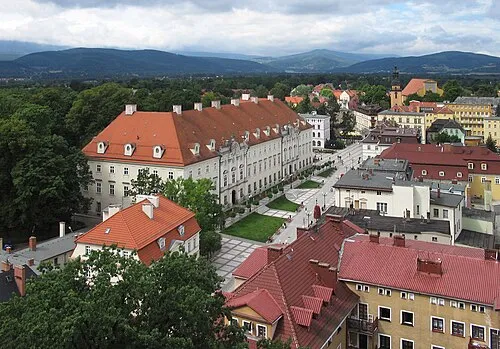 Cieplice Śląskie Zdrój Town, Jelenia Góra4 km W
-
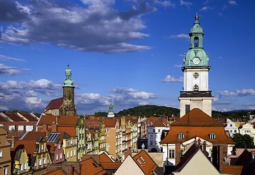 Jelenia Góra Town, Jelenia Góra5.3 km N
-
Mysłakowice Town, Mysłakowice3.2 km SE
-
Sosnówka Village, Podgórzyn3.9 km S
-
Jelenia Góra Municipality, Jelenia Góra5.4 km N
Nearby attractions & nature
Everything nearby-
Grodna Mountain, Podgórzyn2.1 km SW
-
Grabowiec Mountain, Podgórzyn5.6 km S
-
Godzisz Mountain, Jelenia Góra5.8 km NW
-
Koziniec Mountain, Jelenia Góra7.1 km NE
-
Góra Żar Mountain, Jelenia Góra7.2 km W
-
Kopista Mountain, Jelenia Góra8.1 km SW
-
Zillerthal-Erdmannsdorf Concentration Camp Historic site, Mysłakowice3.1 km SE
-
Brzeźnik Mountain, Mysłakowice7.9 km SE
More nature in Poland
-
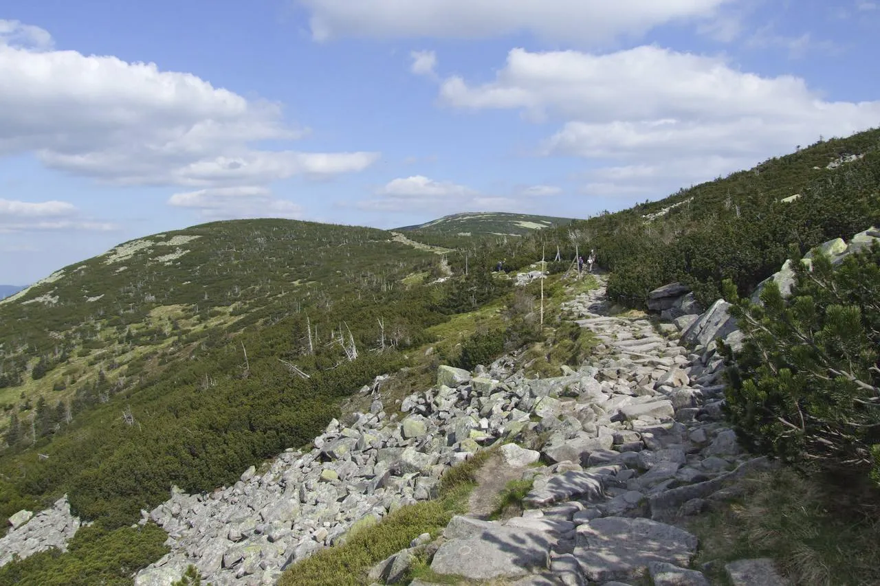 Tępy Szczyt Mountain, Podgórzyn11 km SW
-
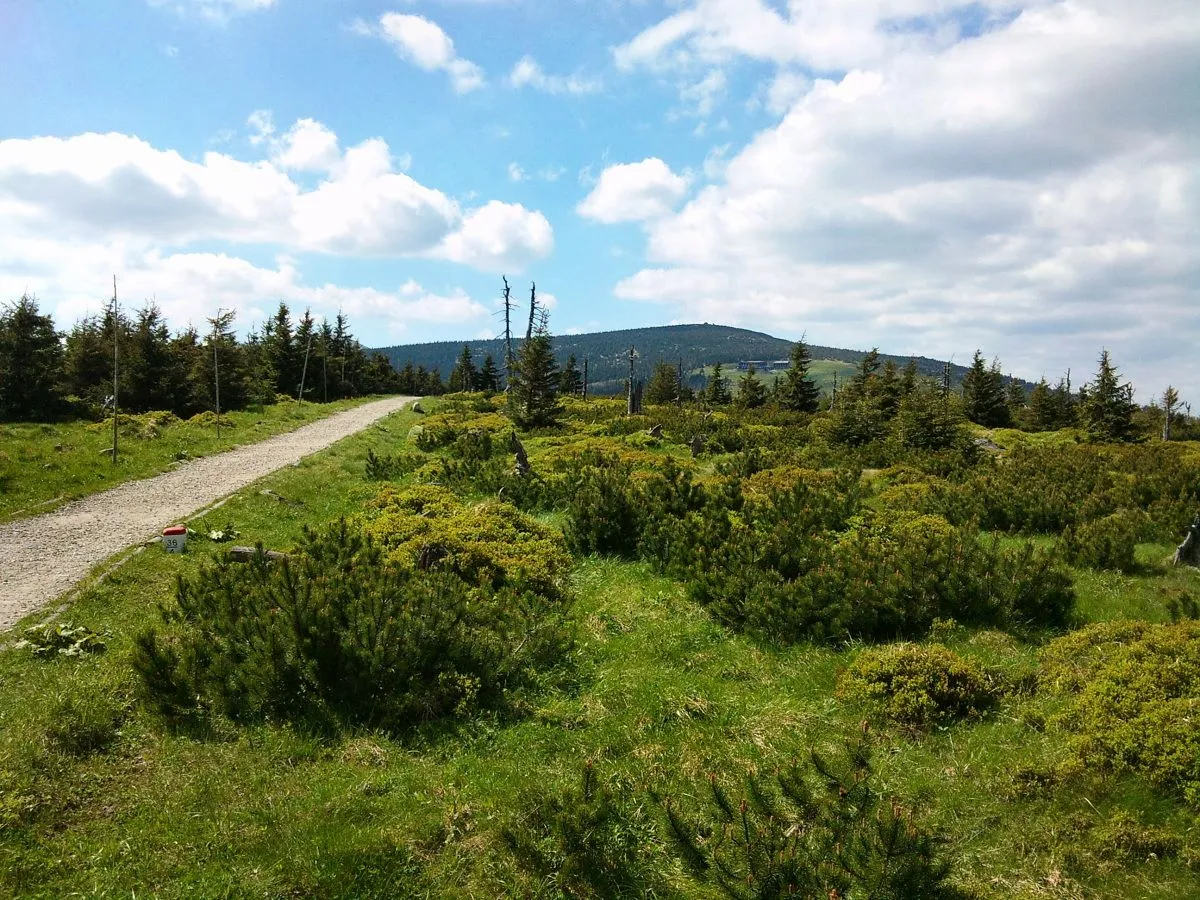 Ptačí Kámen Mountain, Podgórzyn12 km SW
-
Złoty Widok Mountain, Podgórzyn7.1 km SW
Sources & licences
Data last updated: · 2 independent sources