Mnichy
Located in Gmina Marciszów, Kamienna Góra County Coordinates: 50°49′23″ N 15°58′32″ E
- Elevation
- 694 m
- above sea level
- Local time
- UTC+01:00
- Europe/Warsaw · UTC+01:00
- Airports
- WRO Copernicus Wrocław Airport71 km
- PED Pardubice Airport91 km
About Mnichy
Mnichy is a mountain. Location: Gmina Marciszów, Kamienna Góra County. Elevation: 694 m. The best months to visit are June–August. The nearest airport is Copernicus Wrocław Airport (71 km). Nearby sights include Wielka Kopa and Stróżnik.
Photos of Mnichy
-
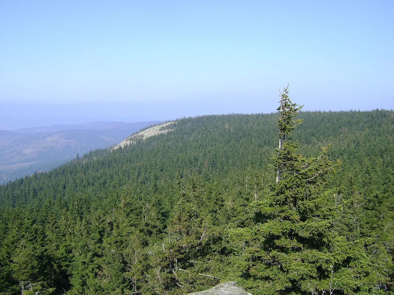
Skalnik Timaska · Public domain -
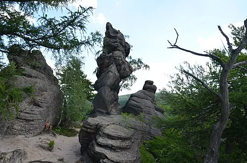
Lwia Góra Andrzej AWPD · CC BY-SA 3.0 -
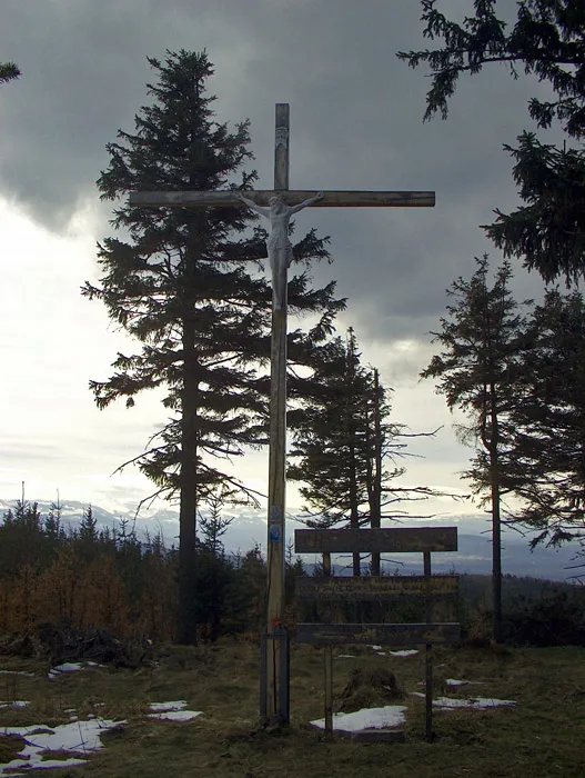
Wołek Siliesiac at Polish Wikipedia · Public domain -
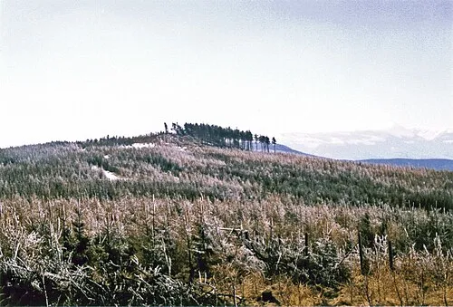
Dzicza Góra Siliesiac · CC BY-SA 3.0 -
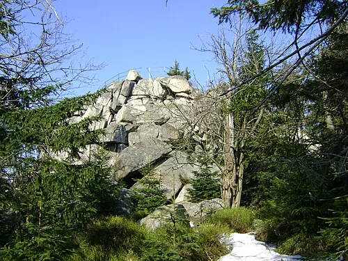
Mała Ostra Timaska · Public domain


Climate of Mnichy
Best months for sightseeingBest months for sightseeing: June–August.
This month · November
A cold month
Day 4° · Night -1° · Rain 41 mm
- Hottest month
- July (day 20°)
- Coldest month
- January (night -7°)
- Wettest month
- July (89 mm)
- Driest month
- February (30 mm)
Bars: average monthly low and high temperature. Below: precipitation. Monthly averages for 1970–2000 at about 18 km resolution, adjusted for elevation. Highlighted months are mild and relatively dry. Source: WorldClim 2.1 (CC BY 4.0).
Show values as a table
| Month | Jan | Feb | Mar | Apr | May | Jun | Jul | Aug | Sep | Oct | Nov | Dec |
|---|---|---|---|---|---|---|---|---|---|---|---|---|
| Average high (°C) | -2° | 0° | 4° | 10° | 15° | 18° | 20° | 20° | 15° | 10° | 4° | -1° |
| Average low (°C) | -7° | -6° | -3° | 1° | 5° | 8° | 10° | 9° | 6° | 3° | -1° | -5° |
| Precipitation (mm) | 33 | 30 | 36 | 45 | 65 | 84 | 89 | 79 | 52 | 42 | 41 | 42 |
How to get to Mnichy
The nearest airport is Copernicus Wrocław Airport (WRO), 71 km to the northeast as the crow flies. The nearest large city is Prague, 137 km to the southwest.
Airports
- Copernicus Wrocław Airport (WRO) Wrocław 71 kmnortheast
- Pardubice Airport (PED) Pardubice 91 kmsouth
- Václav Havel Airport Prague (PRG) Prague 146 kmsouthwest
Nearby large cities
- Prague Population: 1.2M 137 kmsouthwest
- Dresden Population: 564.9K 159 kmwest
- Brno Population: 404.3K 187 kmsouth
- Chemnitz Population: 247.2K 215 kmwest
- Leipzig Population: 505K 259 kmwest
Straight-line distances; road distances are longer. Airport data: OurAirports.
Day trips from Mnichy
Within 100 km: 84 historic and cultural sites, 634 natural sites, 16 lakes, rivers and coasts.
0–25 km131 places
- Bielec Mountain 3 kmW
- Parkowa Mountain 10 kmW
- Czuba Mountain 13 kmSE
- Góra Wały Mountain 20 kmE
25–60 km184 places
- Tvarožník Mountain 33 kmW
- Jastrzębiec Mountain 34 kmW
- Ptak Mountain 48 kmSE
- Wysoka Kopa Mountain 39 kmW
60–100 km419 places
- Lysá Mountain 89 kmW
- Sucha Kopa Mountain 93 kmSE
- Goworek Mountain 92 kmSE
- Baranek Wawrzyn Mountain 86 kmNE
Straight-line distances.
Nearest towns and villages
-
Marciszów Village, Gmina Marciszów4 km NE
-
Kamienna Góra Town, Kamienna Góra5.9 km SE
-
Kamienna Góra Municipality, Kamienna Góra County5.9 km SE
-
Mniszków Village, Janowice Wielkie4.9 km NW
-
Kamienna Góra Municipality, Kamienna Góra County8.2 km S
-
Janowice Wielkie Village, Janowice Wielkie6.9 km NW
Nearby attractions & nature
Everything nearby-
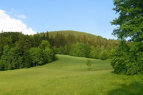 Wielka Kopa Mountain, Gmina Marciszów1.7 km SW
-
Stróżnik Mountain, Kamienna Góra1.7 km W
-
Góry Lisie Mountain, Gmina Marciszów2.9 km E
-
Wołek Mountain, Janowice Wielkie3.3 km NW
-
Dzicza Góra Mountain, Kamienna Góra3.3 km W
-
Mały Wołek Mountain, Janowice Wielkie3.7 km NW
-
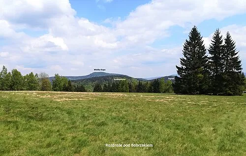 Jagoda Mountain, Kamienna Góra4 km SW
-
Bielec Mountain, Kamienna Góra3.3 km W
Sources & licences
Data last updated: · 2 independent sources