Grafenort Concentration Camp
Located in Gmina Bystrzyca Kłodzka, Kłodzko County Coordinates: 50°20′43″ N 16°38′13″ E
- Local time
- UTC+01:00
- Europe/Warsaw · UTC+01:00
- Elevation
- 314 m
- above sea level
- Airports
- PED Pardubice Airport74 km
- WRO Copernicus Wrocław Airport86 km
About Grafenort Concentration Camp
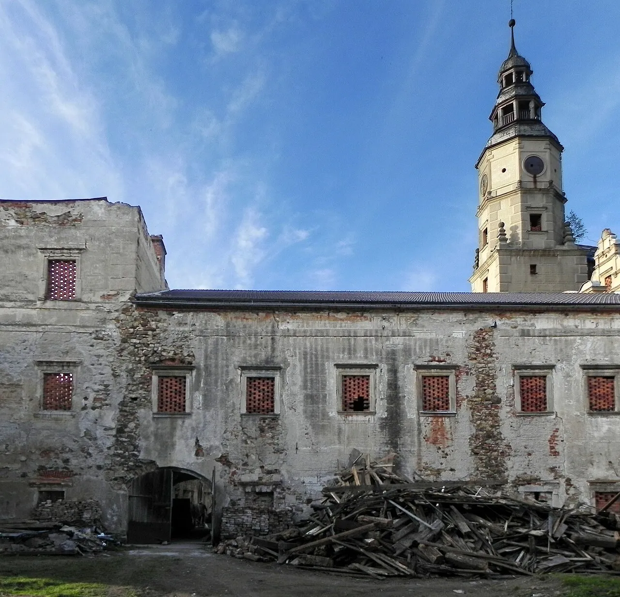
Grafenort Concentration Camp is a historic site. Location: Gmina Bystrzyca Kłodzka, Kłodzko County.
The Grafenort concentration camp was a subcamp of the Gross-Rosen concentration camp located in Grafenort Castle, at modern Gorzanów in south-western Poland, which was operational throughout World War II. For 68 days from 1 March 1945, the camp was run exclusively as a women's subcamp, with between 250-400 prisoners of Jewish ethnicity from the Łódź region, transferred from the Mittelsteine concentration camp.
Source: Wikipedia · CC BY-SA 4.0
Photos of Grafenort Concentration Camp
-
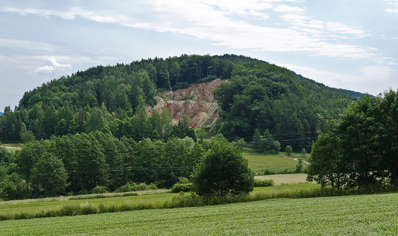
Wapniarka Jacek Halicki · CC BY-SA 3.0 -
Dębowa Marcin "dome" Dąbrowski · CC BY-SA 4.0 -
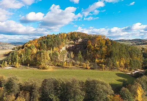
Słupiec Jacek Halicki · CC BY-SA 4.0 -
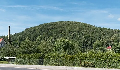
Bukówka Jacek Halicki · CC BY-SA 4.0 -
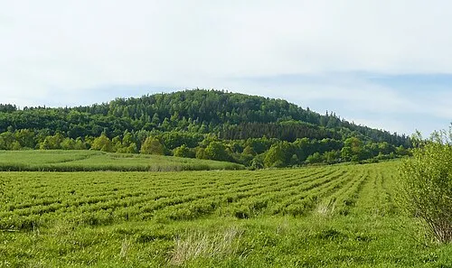
Sarnica MOs810 · CC BY-SA 4.0


Climate of Grafenort Concentration Camp
Best months for sightseeingBest months for sightseeing: June–August.
This month · November
A cold month
Day 6° · Night 0° · Rain 35 mm
- Hottest month
- August (day 22°)
- Coldest month
- January (night -4°)
- Wettest month
- July (92 mm)
- Driest month
- January (23 mm)
Bars: average monthly low and high temperature. Below: precipitation. Monthly averages for 1970–2000 at about 18 km resolution, adjusted for elevation. Highlighted months are mild and relatively dry. Source: WorldClim 2.1 (CC BY 4.0).
Show values as a table
| Month | Jan | Feb | Mar | Apr | May | Jun | Jul | Aug | Sep | Oct | Nov | Dec |
|---|---|---|---|---|---|---|---|---|---|---|---|---|
| Average high (°C) | 1° | 2° | 7° | 12° | 18° | 20° | 22° | 22° | 18° | 12° | 6° | 2° |
| Average low (°C) | -4° | -4° | -1° | 2° | 7° | 10° | 11° | 11° | 8° | 4° | 0° | -3° |
| Precipitation (mm) | 23 | 23 | 30 | 37 | 63 | 91 | 92 | 73 | 50 | 36 | 35 | 30 |
How to get to Grafenort Concentration Camp
The nearest airport is Pardubice Airport (PED), 74 km to the southwest as the crow flies. The nearest large city is Brno, 128 km to the south.
Airports
- Pardubice Airport (PED) Pardubice 74 kmsouthwest
- Copernicus Wrocław Airport (WRO) Wrocław 86 kmnorth
- Leoš Janáček Airport Ostrava (OSR) Mošnov 128 kmsoutheast
Nearby large cities
- Brno Population: 404.3K 128 kmsouth
- Prague Population: 1.2M 161 kmwest
- Dresden Population: 564.9K 219 kmwest
- Bratislava Population: 423.7K 247 kmsouth
- Chemnitz Population: 247.2K 268 kmwest
Straight-line distances; road distances are longer. Airport data: OurAirports.
Day trips from Grafenort Concentration Camp
Within 100 km: 56 historic and cultural sites, 550 natural sites.
0–25 km136 places
- Sucha Kopa Mountain 23 kmSE
- Goworek Mountain 21 kmSE
- Ptak Mountain 25 kmNW
- Kłobuk Mountain 12 kmW
25–60 km255 places
- Czuba Mountain 58 kmNW
- Włodarz Mountain 42 kmN
- Wielka Sowa Mountain 39 kmN
- Szeroka Mountain 30 kmN
60–100 km215 places
- Tvarožník Mountain 93 kmNW
- Úsobrnka Natural site 86 kmS
- Jastrzębiec Mountain 100 kmNW
- Bielec Mountain 73 kmNW
Straight-line distances.
Nearby attractions & nature
Everything nearby-
Dębowa Mountain, Kłodzko2.3 km NE
-
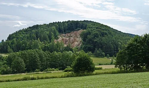 Wapniarka Mountain, Kłodzko2.5 km NE
-
Słupiec Mountain, Kłodzko4.6 km E
-
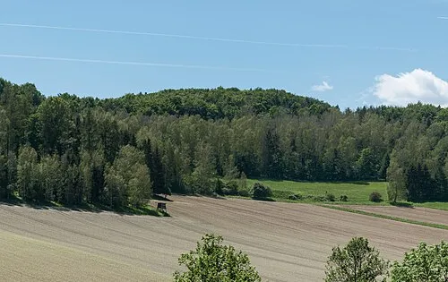 Żeleźniak Mountain, Gmina Bystrzyca Kłodzka6.1 km E
-
Kawczak Mountain, Gmina Bystrzyca Kłodzka5.7 km SW
-
Bukówka Mountain, Kłodzko6 km NE
-
Pogornik Mountain, Gmina Bystrzyca Kłodzka7.1 km SE
-
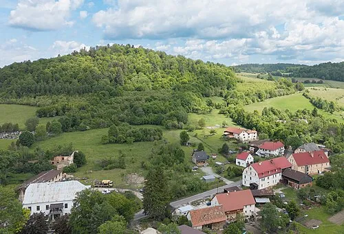 Dzicza Góra Mountain, Gmina Bystrzyca Kłodzka8 km SE
Nearest towns and villages
-
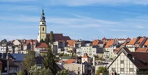 Bystrzyca Kłodzka Town, Gmina Bystrzyca Kłodzka4.8 km S
-
Szczawina Village, Gmina Bystrzyca Kłodzka4.5 km W
-
Kłodzko Municipality, Kłodzko County9.9 km N
-
Kłodzko Town, Kłodzko10 km N
Sources & licences
Data last updated: · 2 independent sources