Borówkowa
Located in Gmina Lądek-Zdrój, Kłodzko County Coordinates: 50°23′26″ N 16°54′10″ E
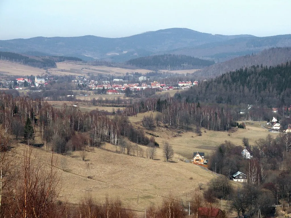
- Elevation
- 900 m
- above sea level
- Local time
- UTC+01:00
- Europe/Warsaw · UTC+01:00
- Airports
- WRO Copernicus Wrocław Airport79 km
- PED Pardubice Airport93 km
About Borówkowa
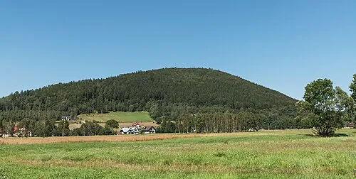
Borówkowa is a mountain. Location: Gmina Lądek-Zdrój, Kłodzko County. Elevation: 900 m. The best months to visit are June–August. The nearest airport is Copernicus Wrocław Airport (79 km). Nearby sights include Orłówka and Wójtowa.
At a glance
- Topographic prominence
- 241 m
Source: Wikidata
Photos of Borówkowa
-

Ben Skála, Benfoto · CC BY-SA 3.0 -

Ben Skála, Benfoto · CC BY-SA 3.0 -

Aleksander Sowa · Public domain -

Aleksander Sowa · Public domain -
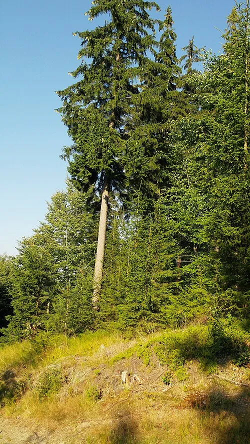
Jawornik Wielki Yberier · CC BY-SA 4.0


Climate of Borówkowa
Best months for sightseeingBest months for sightseeing: June–August.
This month · November
A cold month
Day 2° · Night -3° · Rain 37 mm
- Hottest month
- July (day 18°)
- Coldest month
- January (night -8°)
- Wettest month
- June (92 mm)
- Driest month
- February (26 mm)
Bars: average monthly low and high temperature. Below: precipitation. Monthly averages for 1970–2000 at about 18 km resolution, adjusted for elevation. Highlighted months are mild and relatively dry. Source: WorldClim 2.1 (CC BY 4.0).
Show values as a table
| Month | Jan | Feb | Mar | Apr | May | Jun | Jul | Aug | Sep | Oct | Nov | Dec |
|---|---|---|---|---|---|---|---|---|---|---|---|---|
| Average high (°C) | -2° | -1° | 3° | 8° | 14° | 17° | 18° | 18° | 14° | 9° | 2° | -1° |
| Average low (°C) | -8° | -7° | -4° | -1° | 3° | 6° | 8° | 8° | 5° | 1° | -3° | -6° |
| Precipitation (mm) | 27 | 26 | 31 | 40 | 66 | 92 | 92 | 80 | 53 | 39 | 37 | 35 |
How to get to Borówkowa
The nearest airport is Copernicus Wrocław Airport (WRO), 79 km to the north as the crow flies. The nearest large city is Brno, 135 km to the south.
Airports
- Copernicus Wrocław Airport (WRO) Wrocław 79 kmnorth
- Pardubice Airport (PED) Pardubice 93 kmsouthwest
- Leoš Janáček Airport Ostrava (OSR) Mošnov 116 kmsoutheast
Nearby large cities
- Brno Population: 404.3K 135 kmsouth
- Prague Population: 1.2M 180 kmwest
- Dresden Population: 564.9K 235 kmwest
- Bratislava Population: 423.7K 250 kmsouth
- Chemnitz Population: 247.2K 286 kmwest
Straight-line distances; road distances are longer. Airport data: OurAirports.
Day trips from Borówkowa
Within 100 km: 57 historic and cultural sites, 501 natural sites.
0–25 km121 places
- Sucha Kopa Mountain 15 kmS
- Goworek Mountain 23 kmS
- Leszek Mountain 20 kmNW
- Klimek Mountain 21 kmNW
25–60 km227 places
- Ptak Mountain 40 kmW
- Kłobuk Mountain 31 kmW
- Wolarz Mountain 32 kmW
- Włodarz Mountain 49 kmNW
60–100 km210 places
- Úsobrnka Natural site 91 kmS
- Bielec Mountain 84 kmNW
- Parkowa Mountain 89 kmNW
- Czuba Mountain 69 kmNW
Straight-line distances.
Nearest towns and villages
-
 Travná Village, Javorník3 km SE
-
Lądek Zdrój Town, Gmina Lądek-Zdrój5.5 km S
-
Złoty Stok Municipality, Ząbkowice Śląskie County5.4 km NW
-
 Złoty Stok Village, Złoty Stok6.3 km N
-
Bílá Voda Village, Bílá Voda5.8 km N
-
 Červený Důl Village, Uhelná7.3 km SE
Nearby attractions & nature
Everything nearby-
Orłówka Mountain, Gmina Lądek-Zdrój1.1 km W
-
Wójtowa Mountain, Gmina Lądek-Zdrój2.2 km SW
-
Rasztowiec Mountain, Gmina Lądek-Zdrój3.5 km SW
-
Jawornik Wielki Mountain, Złoty Stok4 km NW
-
Konik Mountain, Gmina Lądek-Zdrój3.8 km SW
-
Dworska Kopa Mountain, Gmina Lądek-Zdrój4.1 km SW
-
Kikol Mountain, Złoty Stok4.1 km NW
-
Długi Garb Mountain, Gmina Lądek-Zdrój4.8 km W
More nature in Poland
-
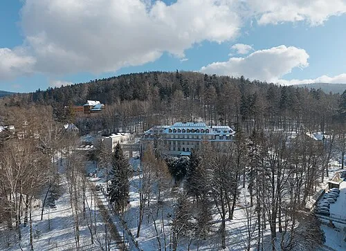 Góra Trojak Mountain, Gmina Lądek-Zdrój5.9 km S
-
Trzmielak Mountain, Gmina Lądek-Zdrój5 km W
-
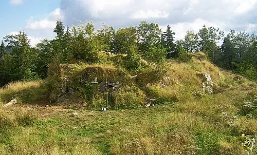 Karpiak Mountain, Gmina Lądek-Zdrój6.8 km S
-
Gomola Jesionowska Mountain, Gmina Lądek-Zdrój5.7 km W
-
Biały Kamień Mountain, Gmina Lądek-Zdrój5.7 km SW
-
 Cierniak Mountain, Gmina Lądek-Zdrój7.1 km SW
Sources & licences
Data last updated: · 2 independent sources