Stromy
Located in Gmina Stronie Śląskie, Kłodzko County Coordinates: 50°14′18″ N 16°53′35″ E
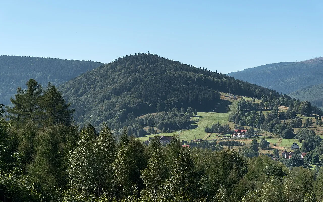
- Elevation
- 807 m
- above sea level
- Local time
- UTC+01:00
- Europe/Warsaw · UTC+01:00
- Airports
- PED Pardubice Airport86 km
- WRO Copernicus Wrocław Airport96 km
About Stromy
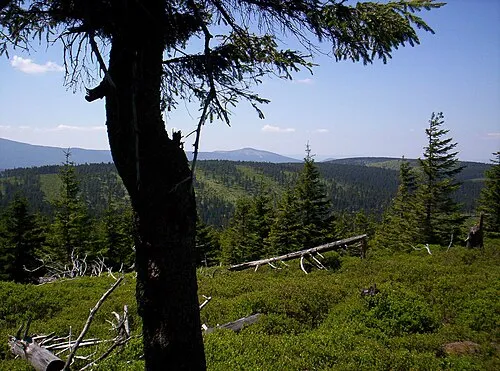
Stromy is a mountain. Location: Gmina Stronie Śląskie, Kłodzko County. Elevation: 807 m. The best months to visit are June–August. The nearest airport is Pardubice Airport (86 km). Nearby sights include Porębek and Młyńsko.
Photos of Stromy
-
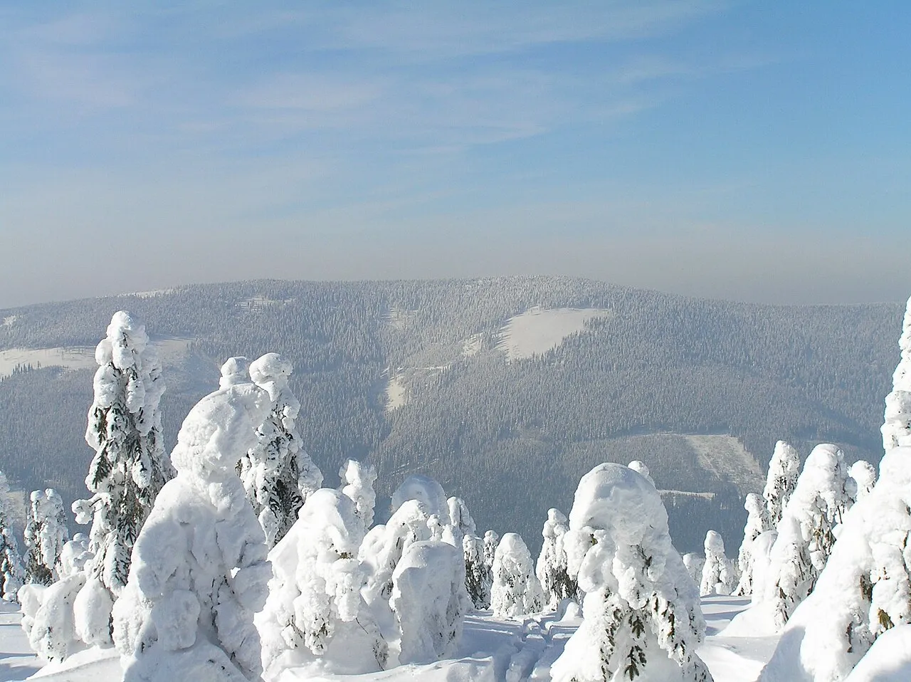
Mały Śnieżnik Petr Filippov · CC BY-SA 3.0 -
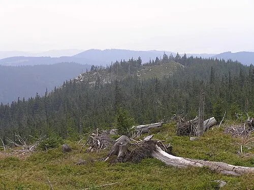
Stroma Petr Filippov · CC BY-SA 3.0 -
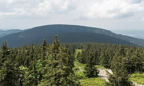
Smrekowiec Jacek Halicki · CC BY-SA 4.0 -
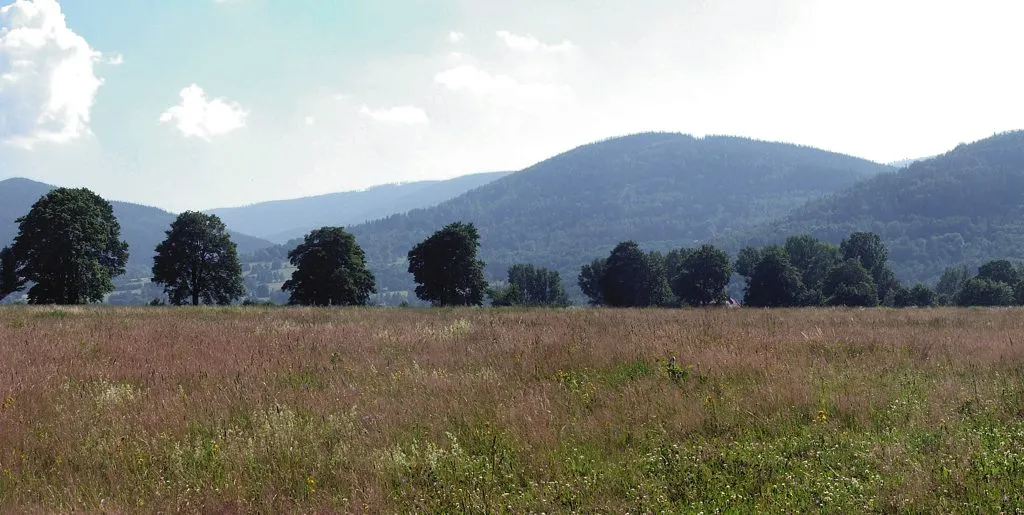
Janowiec Grzegorz Wysocki · CC BY 3.0 -
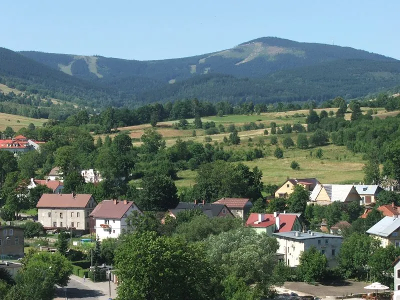
Czarna Góra Grzegorz Wysocki · CC BY-SA 2.5


Climate of Stromy
Best months for sightseeingBest months for sightseeing: June–August.
This month · November
A cold month
Day 3° · Night -2° · Rain 44 mm
- Hottest month
- July (day 19°)
- Coldest month
- January (night -6°)
- Wettest month
- June (104 mm)
- Driest month
- February (33 mm)
Bars: average monthly low and high temperature. Below: precipitation. Monthly averages for 1970–2000 at about 18 km resolution, adjusted for elevation. Highlighted months are mild and relatively dry. Source: WorldClim 2.1 (CC BY 4.0).
Show values as a table
| Month | Jan | Feb | Mar | Apr | May | Jun | Jul | Aug | Sep | Oct | Nov | Dec |
|---|---|---|---|---|---|---|---|---|---|---|---|---|
| Average high (°C) | -1° | 0° | 3° | 8° | 14° | 17° | 19° | 18° | 14° | 9° | 3° | 0° |
| Average low (°C) | -6° | -6° | -3° | 0° | 5° | 8° | 9° | 9° | 6° | 3° | -2° | -5° |
| Precipitation (mm) | 36 | 33 | 35 | 45 | 73 | 104 | 97 | 96 | 61 | 46 | 44 | 46 |
How to get to Stromy
The nearest airport is Pardubice Airport (PED), 86 km to the west as the crow flies. The nearest large city is Brno, 118 km to the south.
Airports
- Pardubice Airport (PED) Pardubice 86 kmwest
- Copernicus Wrocław Airport (WRO) Wrocław 96 kmnorth
- Leoš Janáček Airport Ostrava (OSR) Mošnov 106 kmsoutheast
Nearby large cities
- Brno Population: 404.3K 118 kmsouth
- Prague Population: 1.2M 177 kmwest
- Bratislava Population: 423.7K 233 kmsouth
- Dresden Population: 564.9K 241 kmnorthwest
- Linz Population: 204.8K 287 kmsouthwest
Straight-line distances; road distances are longer. Airport data: OurAirports.
Day trips from Stromy
Within 100 km: 50 historic and cultural sites, 511 natural sites.
0–25 km126 places
- Sucha Kopa Mountain 3 kmNE
- Goworek Mountain 8 kmSW
- Mały Śnieżnik Mountain 8 kmSW
- Stroma Mountain 3 kmSW
25–60 km203 places
- Ptak Mountain 46 kmNW
- Kłobuk Mountain 32 kmW
- Leszek Mountain 34 kmNW
- Klimek Mountain 35 kmNW
60–100 km232 places
- Úsobrnka Natural site 74 kmS
- Bielec Mountain 94 kmNW
- Parkowa Mountain 98 kmNW
- Czuba Mountain 79 kmNW
Straight-line distances.
Nearest towns and villages
-
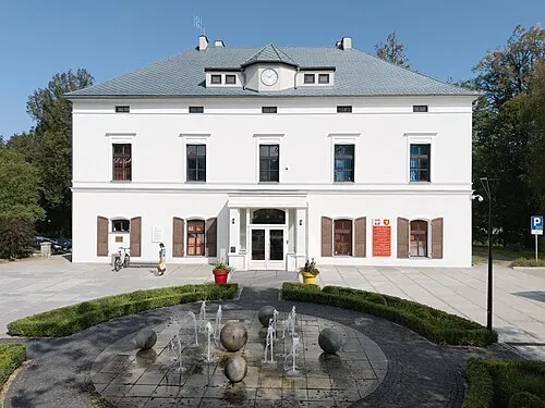 Stronie Śląskie Town, Gmina Stronie Śląskie6.5 km N
-
Štěpánov Village, Staré Město8.6 km S
-
 Nová Seninka Village, Staré Město4.7 km S
-
Staré Město Village, Staré Město9.3 km SE
-
Gmina Lądek-Zdrój Municipality, Kłodzko County12 km N
-
Staré Město Municipality, Šumperk District6.9 km SE
Nearby attractions & nature
Everything nearby-
Porębek Mountain, Gmina Stronie Śląskie2.1 km W
-
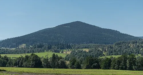 Młyńsko Mountain, Gmina Stronie Śląskie2.3 km NW
-
Płaczka Mountain, Gmina Stronie Śląskie2.4 km SW
-
Pustosz Mountain, Gmina Stronie Śląskie2.4 km E
-
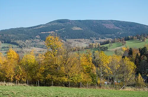 Sucha Kopa Mountain, Gmina Stronie Śląskie3.2 km NE
-
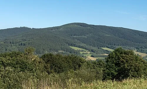 Suszyca Mountain, Gmina Stronie Śląskie3.3 km NE
-
Stroma Mountain, Gmina Stronie Śląskie3.3 km SW
-
Skalna Mountain, Gmina Stronie Śląskie3.4 km E
More nature in Poland
-
Średniak Mountain, Gmina Stronie Śląskie3.7 km E
-
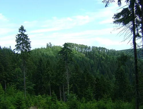 Jawornik Krowi Mountain, Gmina Stronie Śląskie4.1 km NE
-
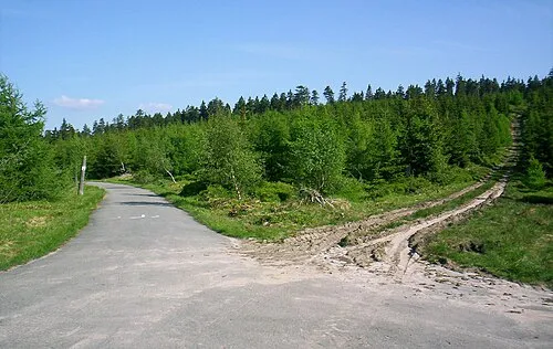 Jawornicka Kopa Mountain, Gmina Stronie Śląskie4.1 km E
-
Janowiec Mountain, Gmina Stronie Śląskie4.2 km NW
-
 Orlik Mountain, Gmina Stronie Śląskie4.6 km E
-
Rude Krzyże Mountain, Gmina Stronie Śląskie5 km E
Sources & licences
Data last updated: · 2 independent sources