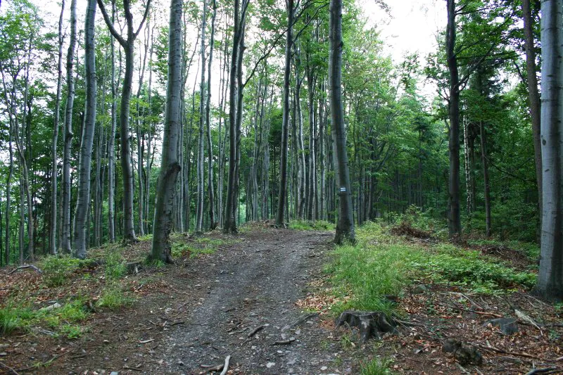
- Elevation
- 751 m
- above sea level
- Local time
- UTC+01:00
- Europe/Warsaw · UTC+01:00
- Airports
- WRO Copernicus Wrocław Airport72 km
- PED Pardubice Airport88 km
About Ostra Góra
Ostra Góra is a mountain. Location: Kłodzko, Kłodzko County. Elevation: 751 m. The best months to visit are June–August. The nearest airport is Copernicus Wrocław Airport (72 km). Nearby sights include Gajnik and Mszaniec.
Photos of Ostra Góra
-
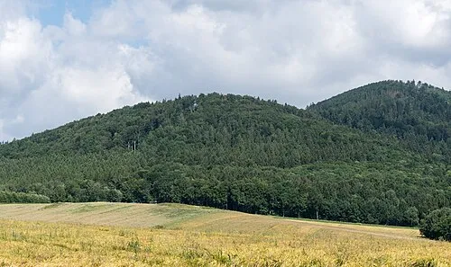
Podzamecka Kopa Jacek Halicki · CC BY-SA 4.0 -
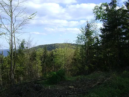
Szeroka Timaska · CC0 -
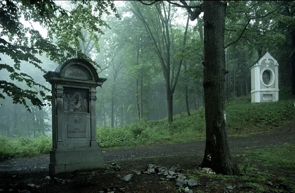
Kalwaria Michał Smoczyk · CC BY-SA 2.5 -
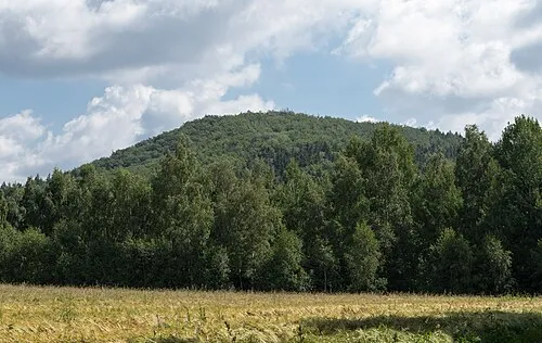
Sokolec Jacek Halicki · CC BY-SA 4.0


Climate of Ostra Góra
Best months for sightseeingBest months for sightseeing: June–August.
This month · November
A cold month
Day 3° · Night -2° · Rain 36 mm
- Hottest month
- July (day 19°)
- Coldest month
- January (night -7°)
- Wettest month
- July (93 mm)
- Driest month
- February (24 mm)
Bars: average monthly low and high temperature. Below: precipitation. Monthly averages for 1970–2000 at about 18 km resolution, adjusted for elevation. Highlighted months are mild and relatively dry. Source: WorldClim 2.1 (CC BY 4.0).
Show values as a table
| Month | Jan | Feb | Mar | Apr | May | Jun | Jul | Aug | Sep | Oct | Nov | Dec |
|---|---|---|---|---|---|---|---|---|---|---|---|---|
| Average high (°C) | -2° | 0° | 4° | 9° | 15° | 18° | 19° | 19° | 15° | 9° | 3° | 0° |
| Average low (°C) | -7° | -7° | -4° | -1° | 4° | 7° | 9° | 8° | 6° | 2° | -2° | -5° |
| Precipitation (mm) | 25 | 24 | 31 | 39 | 65 | 92 | 93 | 77 | 52 | 38 | 36 | 32 |
How to get to Ostra Góra
The nearest airport is Copernicus Wrocław Airport (WRO), 72 km to the north as the crow flies. The nearest large city is Brno, 142 km to the south.
Airports
- Copernicus Wrocław Airport (WRO) Wrocław 72 kmnorth
- Pardubice Airport (PED) Pardubice 88 kmsouthwest
- Leoš Janáček Airport Ostrava (OSR) Mošnov 130 kmsoutheast
Nearby large cities
- Brno Population: 404.3K 142 kmsouth
- Prague Population: 1.2M 171 kmwest
- Dresden Population: 564.9K 222 kmwest
- Bratislava Population: 423.7K 259 kmsouth
- Chemnitz Population: 247.2K 273 kmwest
Straight-line distances; road distances are longer. Airport data: OurAirports.
Day trips from Ostra Góra
Within 100 km: 59 historic and cultural sites, 539 natural sites.
0–25 km118 places
- Kłobuk Mountain 25 kmSW
- Leszek Mountain 7 kmNW
- Klimek Mountain 7 kmNW
- Wolarz Mountain 22 kmSW
25–60 km257 places
- Sucha Kopa Mountain 27 kmSE
- Goworek Mountain 31 kmS
- Ptak Mountain 28 kmW
- Czuba Mountain 55 kmNW
60–100 km223 places
- Tvarožník Mountain 94 kmNW
- Úsobrnka Natural site 99 kmS
- Jastrzębiec Mountain 99 kmNW
- Bielec Mountain 70 kmNW
Straight-line distances.
Nearest towns and villages
-
Wojciechowice Village, Kłodzko3.2 km SW
-
Gmina Bardo Municipality, Ząbkowice Śląskie County3.9 km N
-
Laskówka Village, Gmina Bardo3.1 km NE
-
Bardo Village, Gmina Bardo4.5 km N
-
Kłodzko Town, Kłodzko6.9 km SW
-
Kłodzko Municipality, Kłodzko County7.8 km SW
Nearby attractions & nature
Everything nearby-
Gajnik Mountain, Kłodzko0.4 km SE
-
Mszaniec Mountain, Gmina Bardo1.4 km N
-
Łaszczowa Mountain, Gmina Bardo1.4 km NW
-
Szeroka Mountain, Złoty Stok1.6 km SE
-
Jelenia Kopa Mountain, Złoty Stok2.2 km SE
-
Grodzisko Mountain, Złoty Stok2.7 km S
-
Kalwaria Mountain, Gmina Bardo3.3 km N
-
Podzamecka Kopa Mountain, Kłodzko3.5 km S
More nature in Poland
Sources & licences
Data last updated: · 2 independent sources