Bełżec Extermination Camp
Local name: Belzec
Located in Bełżec, Tomaszów County Coordinates: 50°22′25″ N 23°27′30″ E
- Local time
- UTC+01:00
- Europe/Warsaw · UTC+01:00
- Elevation
- 274 m
- above sea level
- Airports
- RZE Rzeszów-Jasionka Airport106 km
- LUZ Lublin Airport110 km
About Bełżec Extermination Camp
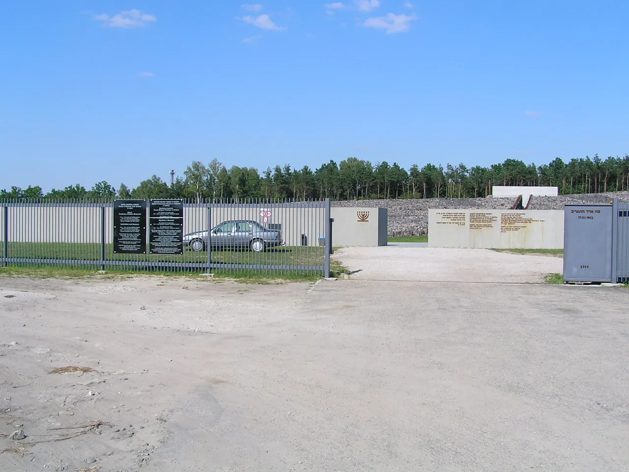
Bełżec Extermination Camp is a historic site. Location: Bełżec, Tomaszów County.
Belzec (English: or , Polish: [ˈbɛu̯ʐɛt͡s]; German: [ˈbɛlzɛts]) was a Nazi German extermination camp in occupied Poland. It was built by the SS for the purpose of implementing the secretive Operation Reinhard, the plan to murder all Polish Jews, a major part of the "Final Solution", the overall Nazi effort to complete the genocide of all European Jews. Before Germany's defeat put an end to this project, approximately six million Jews had been murdered in the Holocaust.
Source: Wikipedia · CC BY-SA 4.0
Photos of Bełżec Extermination Camp
-

Anton-kurt · CC BY-SA 3.0 -

Automobilni · CC BY-SA 4.0 -

יעקב · CC0 -

OTFW , Berlin · CC BY-SA 3.0 -

Adrian Grycuk · CC BY-SA 3.0 pl


Climate of Bełżec Extermination Camp
Best months for sightseeingBest months for sightseeing: June–August.
This month · November
A cold month
Day 6° · Night 0° · Rain 40 mm
- Hottest month
- July (day 22°)
- Coldest month
- January (night -7°)
- Wettest month
- June (87 mm)
- Driest month
- January (30 mm)
Bars: average monthly low and high temperature. Below: precipitation. Monthly averages for 1970–2000 at about 18 km resolution, adjusted for elevation. Highlighted months are mild and relatively dry. Source: WorldClim 2.1 (CC BY 4.0).
Show values as a table
| Month | Jan | Feb | Mar | Apr | May | Jun | Jul | Aug | Sep | Oct | Nov | Dec |
|---|---|---|---|---|---|---|---|---|---|---|---|---|
| Average high (°C) | -1° | 0° | 5° | 11° | 18° | 20° | 22° | 22° | 17° | 12° | 6° | 1° |
| Average low (°C) | -7° | -6° | -2° | 2° | 7° | 10° | 12° | 11° | 8° | 3° | 0° | -4° |
| Precipitation (mm) | 30 | 31 | 34 | 44 | 70 | 87 | 86 | 73 | 56 | 45 | 40 | 41 |
How to get to Bełżec Extermination Camp
The nearest airport is Rzeszów-Jasionka Airport (RZE), 106 km to the west as the crow flies. The nearest large city is Košice, 244 km to the southwest.
Airports
- Rzeszów-Jasionka Airport (RZE) Jasionka 106 kmwest
- Lublin Airport (LUZ) Lublin 110 kmnorthwest
- Warsaw Radom Airport (RDO) Radom 194 kmnorthwest
Nearby large cities
- Košice Population: 225K 244 kmsouthwest
- Satu Mare Population: 112.5K 290 kmsouth
- Nyíregyháza Population: 117.7K 297 kmsouthwest
- Baia Mare Population: 108.8K 302 kmsouth
- Miskolc Population: 154.5K 319 kmsouthwest
Straight-line distances; road distances are longer. Airport data: OurAirports.
Day trips from Bełżec Extermination Camp
Within 100 km: 25 historic and cultural sites, 6 natural sites.
0–25 km2 places
- Wapięlnia Mountain 18 kmNW
- Tomaszów Lubelski Ghetto Historic site 9 kmN
25–60 km12 places
- Hrubieszów Ghetto Historic site 57 kmNE
- Gora Kapliczna Mountain 36 kmW
- Biłgoraj Ghetto Historic site 57 kmW
- Krasnobród Ghetto Historic site 27 kmNW
60–100 km17 places
- Maciejówka Mountain 96 kmSW
- Karczmarowa Mountain 85 kmSW
- Przemyśl Ghetto Historic site 82 kmSW
- Krasnystaw Ghetto Historic site 71 kmN
Straight-line distances.
Nearby attractions & nature
Everything nearby-
Tomaszów Lubelski Ghetto Historic site, Tomaszów Lubelski9 km N
-
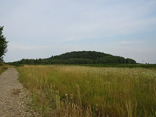 Wapięlnia Mountain, Gmina Krasnobród18 km NW
Nearest towns and villages
-
Bełżec Village, Bełżec1.9 km NW
-
Lubycza Królewska Village, Gmina Lubycza Królewska5.7 km SE
-
Tomaszów Lubelski Municipality, Tomaszów County8.6 km N
-
Tomaszów Lubelski Municipality, Tomaszów County8.6 km N
Sources & licences
Data last updated: · 2 independent sources