Budy Barczackie
Located in Mińsk Mazowiecki, Mińsk County Coordinates: 52°09′35″ N 21°37′31″ E

- Population
- 718
- 718
- Elevation
- 161 m
- above sea level
- Local time
- UTC+01:00
- Europe/Warsaw · UTC+01:00
- Airports
- WAW Warsaw Chopin Airport45 km
- WMI Warsaw Modlin Airport74 km
About Budy Barczackie
Budy Barczackie is a village. Location: Mińsk Mazowiecki, Mińsk County. Population: 718. Elevation: 161 m.
Budy Barcząckie [ˈbudɨ barˈt͡ʂɔnt͡skʲɛ] is a village in the administrative district of Gmina Mińsk Mazowiecki, within Mińsk County, Masovian Voivodeship, in east-central Poland. It is 28 miles (45.7 km (28 mi)) to the east of Warsaw. Eight Polish citizens were murdered by Nazi Germany in the village during World War II.
Source: Wikipedia · CC BY-SA 4.0
Photos of Budy Barczackie
-
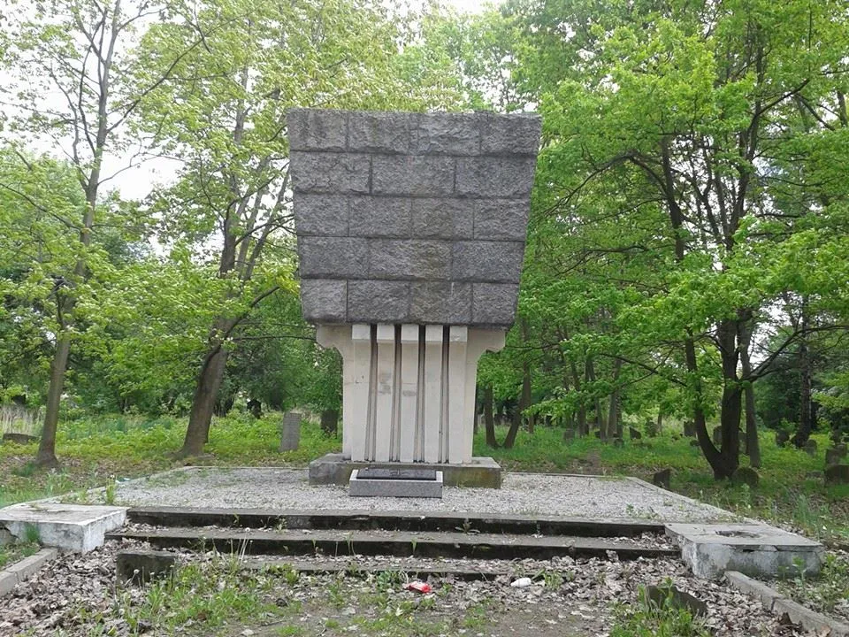
Mińsk Mazowiecki Ghetto Sloggi · CC BY-SA 4.0

Climate of Budy Barczackie
Best months for sightseeingBest months for sightseeing: June–August.
This month · November
A cold month
Day 5° · Night 0° · Rain 36 mm
- Hottest month
- July (day 23°)
- Coldest month
- January (night -6°)
- Wettest month
- July (70 mm)
- Driest month
- February (22 mm)
Bars: average monthly low and high temperature. Below: precipitation. Monthly averages for 1970–2000 at about 18 km resolution, adjusted for elevation. Highlighted months are mild and relatively dry. Source: WorldClim 2.1 (CC BY 4.0).
Show values as a table
| Month | Jan | Feb | Mar | Apr | May | Jun | Jul | Aug | Sep | Oct | Nov | Dec |
|---|---|---|---|---|---|---|---|---|---|---|---|---|
| Average high (°C) | 0° | 1° | 6° | 13° | 19° | 22° | 23° | 23° | 18° | 12° | 5° | 1° |
| Average low (°C) | -6° | -5° | -2° | 3° | 8° | 11° | 12° | 12° | 8° | 4° | 0° | -3° |
| Precipitation (mm) | 24 | 22 | 26 | 34 | 49 | 68 | 70 | 60 | 49 | 36 | 36 | 33 |
How to get to Budy Barczackie
The nearest airport is Warsaw Chopin Airport (WAW), 45 km to the west as the crow flies. The nearest large city is Kaunas, 341 km to the northeast.
Airports
- Warsaw Chopin Airport (WAW) Warsaw 45 kmwest
- Warsaw Modlin Airport (WMI) Nowy Dwór Mazowiecki 74 kmnorthwest
- Warsaw Radom Airport (RDO) Radom 90 kmsouth
Nearby large cities
- Kaunas Population: 289.4K 341 kmnortheast
- Vilnius Population: 542.4K 372 kmnortheast
- Košice Population: 225K 384 kmsouth
- Klaipėda Population: 172.3K 396 kmnorth
Straight-line distances; road distances are longer. Airport data: OurAirports.
Day trips from Budy Barczackie
Within 100 km: 92 historic and cultural sites, 1 natural site.
0–25 km8 places
- Kołbiel Ghetto Historic site 14 kmSW
- Kałuszyn Ghetto Historic site 15 kmNE
- Mińsk Mazowiecki Ghetto Historic site 5 kmNW
- Mrozy Ghetto Historic site 12 kmE
25–60 km34 places
- Maciejowice Ghetto Historic site 51 kmS
- Magnuszew Ghetto Historic site 46 kmS
- Sobienie-Jeziory Ghetto Historic site 33 kmSW
- Sobolew Ghetto Historic site 48 kmS
60–100 km51 places
- Krzyżewskie Góry Mountain 92 kmN
- Maków Mazowiecki Ghetto Historic site 86 kmNW
- Markuszów Ghetto Historic site 99 kmSE
- Michów Ghetto Historic site 84 kmSE
Straight-line distances.
Nearby attractions & nature
Everything nearby-
Mińsk Mazowiecki Ghetto Historic site, Mińsk Mazowiecki4.8 km NW
-
Mrozy Ghetto Historic site, Mrozy12 km E
-
Kałuszyn Ghetto Historic site, Gmina Kałuszyn15 km NE
-
Pustelnik Ghetto Historic site, Gmina Stanisławów17 km NW
-
Kołbiel Ghetto Historic site, Kołbiel14 km SW
-
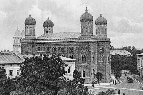 Stanisławów Ghetto Historic site, Gmina Stanisławów16 km N
Sources & licences
Data last updated: · 2 independent sources