- Population
- 42
- 42
- Elevation
- 165 m
- above sea level
- Local time
- UTC+01:00
- Europe/Warsaw · UTC+01:00
- Airports
- WAW Warsaw Chopin Airport61 km
- WMI Warsaw Modlin Airport81 km
About Adamów
Adamów is a village. Location: Gmina Wierzbno, Węgrów County. Population: 42. Elevation: 165 m. The best months to visit are June–August. The nearest airport is Warsaw Chopin Airport (61 km). Nearby sights include Kałuszyn Ghetto and Węgrów Ghetto.
Climate of Adamów
Best months for sightseeingBest months for sightseeing: June–August.
This month · November
A cold month
Day 5° · Night 0° · Rain 36 mm
- Hottest month
- July (day 23°)
- Coldest month
- January (night -6°)
- Wettest month
- June (70 mm)
- Driest month
- February (22 mm)
Bars: average monthly low and high temperature. Below: precipitation. Monthly averages for 1970–2000 at about 18 km resolution, adjusted for elevation. Highlighted months are mild and relatively dry. Source: WorldClim 2.1 (CC BY 4.0).
Show values as a table
| Month | Jan | Feb | Mar | Apr | May | Jun | Jul | Aug | Sep | Oct | Nov | Dec |
|---|---|---|---|---|---|---|---|---|---|---|---|---|
| Average high (°C) | 0° | 1° | 6° | 13° | 19° | 22° | 23° | 23° | 18° | 12° | 5° | 1° |
| Average low (°C) | -6° | -5° | -2° | 3° | 8° | 11° | 12° | 12° | 8° | 4° | 0° | -3° |
| Precipitation (mm) | 25 | 22 | 26 | 34 | 50 | 70 | 70 | 60 | 50 | 37 | 36 | 34 |
How to get to Adamów
The nearest airport is Warsaw Chopin Airport (WAW), 61 km to the west as the crow flies. The nearest large city is Kaunas, 319 km to the northeast.
Airports
- Warsaw Chopin Airport (WAW) Warsaw 61 kmwest
- Warsaw Modlin Airport (WMI) Nowy Dwór Mazowiecki 81 kmwest
- Warsaw Radom Airport (RDO) Radom 111 kmsouth
Nearby large cities
- Kaunas Population: 289.4K 319 kmnortheast
- Vilnius Population: 542.4K 350 kmnortheast
- Klaipėda Population: 172.3K 380 kmnorth
Straight-line distances; road distances are longer. Airport data: OurAirports.
Day trips from Adamów
Within 100 km: 78 historic and cultural sites, 2 natural sites.
0–25 km7 places
- Węgrów Ghetto Historic site 16 kmNE
- Jadów Ghetto Historic site 21 kmNW
- Kałuszyn Ghetto Historic site 11 kmS
- Mińsk Mazowiecki Ghetto Historic site 23 kmSW
25–60 km29 places
- Sobienie-Jeziory Ghetto Historic site 55 kmSW
- Sokołów Podlaski Ghetto Historic site 31 kmE
- Wawer Ghetto Historic site 47 kmW
- Karczew Ghetto Historic site 47 kmSW
60–100 km44 places
- Krzyżewskie Góry Mountain 82 kmNW
- Debowe Góry Mountain 87 kmN
- Maciejowice Ghetto Historic site 71 kmS
- Magnuszew Ghetto Historic site 68 kmSW
Straight-line distances.
Nearby attractions & nature
Everything nearby-
Kałuszyn Ghetto Historic site, Gmina Kałuszyn11 km S
-
Węgrów Ghetto Historic site, Węgrów16 km NE
-
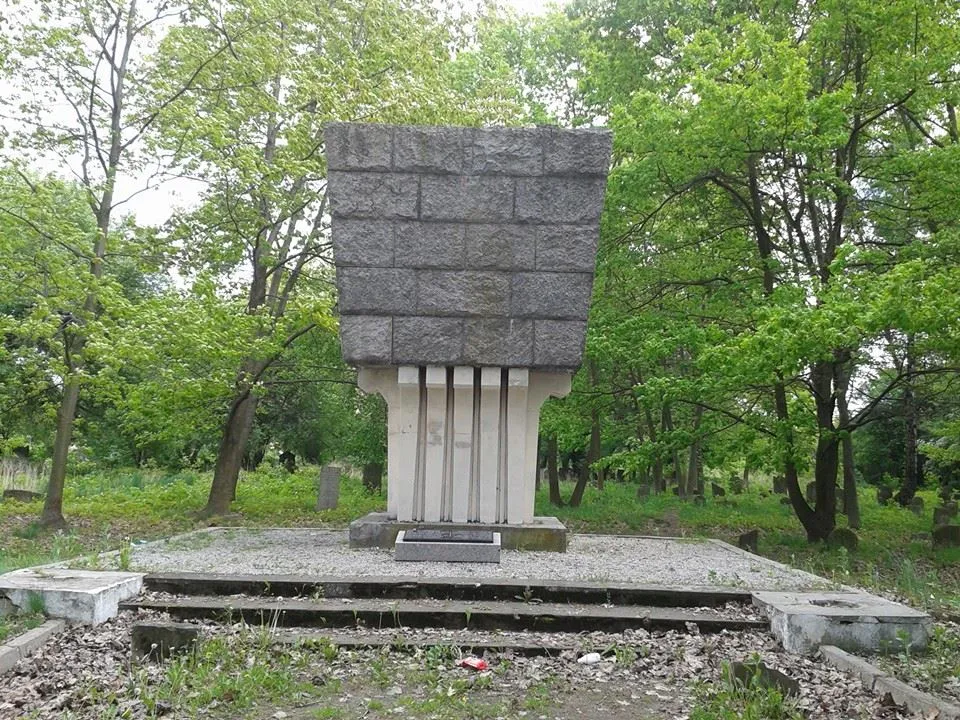 Mińsk Mazowiecki Ghetto Historic site, Mińsk Mazowiecki23 km SW
-
Mrozy Ghetto Historic site, Mrozy17 km S
-
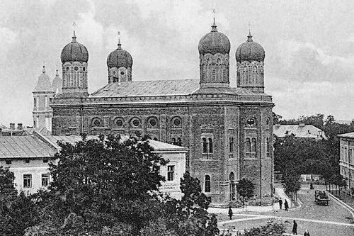 Stanisławów Ghetto Historic site, Gmina Stanisławów19 km W
-
Pustelnik Ghetto Historic site, Gmina Stanisławów25 km W
Sources & licences
Data last updated: